@millersvilleu 2020 graduate with a B.S. in Meteorology and a minor in Environmental Hazards and Emergency Management. All views expressed are mine only.
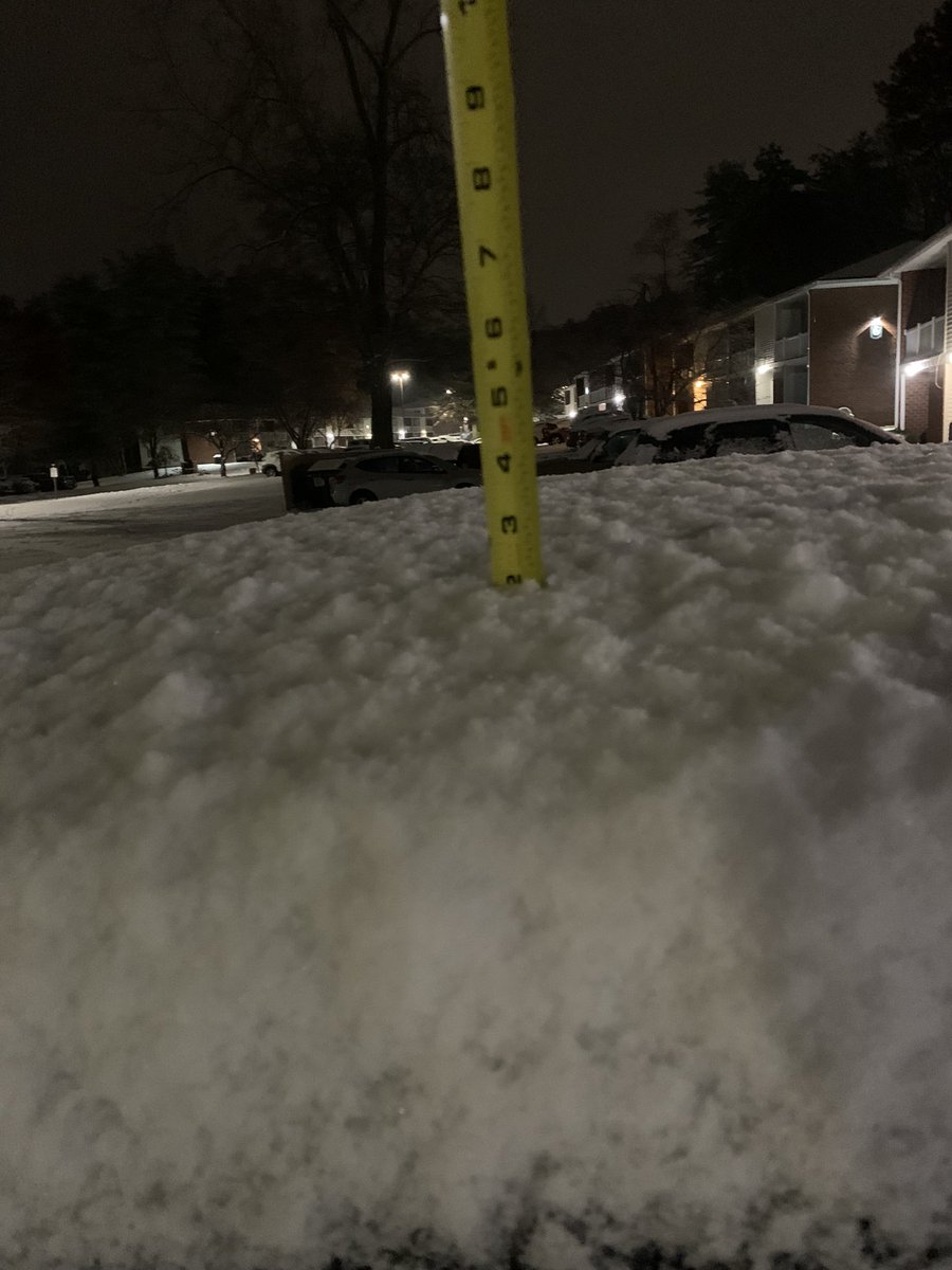
@NWSAlbany Didn’t have any other surfaces to take a measure but I got 2 inches on my car roof where the snow started sticking once it was falling - this is just south of Westmere at the Deer Valley Apartments and was taken now as the event has ended
@wxkaitlynj@NickPBassill @afterhourswx Living in the Wyoming Valley i’m used to these storms going right to rain but now I see how the valley up here deals with cold air drainage and
you never underestimate a cold canadian HP
@NickPBassill@wxkaitlynj @afterhourswx Per the mesonet I saw it got down to 15 around the area and those clouds came in fast because models always are too late with WAA precipitation arrival
@wxkaitlynj@NickPBassill @afterhourswx I knew this wasn’t the best CAD setup but when I saw it was 25 at 5 pm last night I knew we were going to plunge overnight and models were going to be too warm - it does seem the higher terrain is above because that’s where the mixing was!
@BrokerWx My guess is due to the variability and unpredictability when an EWRC can happen and how long the shear can stick around for they wanted to stay with Cat 4 for now
@AndyHazelton Interesting to see the ridge trending stronger both this weekend and then also the ridge building in between Margot - possibly due to the Latent heat release from Lee due to the RI?
@JGodynick yeah that’s true - Gfs did trend Margot further east allowing the ridge aloft to build back in - curious to see what the rest of the 12z guidance does
@wxmann defying nature doesn’t happen often - I don’t see how the pattern allows for a florida turn just meteorologically it doesn’t make sense but you have articles written with a screenshot of a hurricane hitting florida and the title is talking about Lee like what??…