Monday 24th February 2025 #rdguk https://t.co/uRCtjb9d5C
An unsettled but mild start of the week - though tending to become drier later in the week.
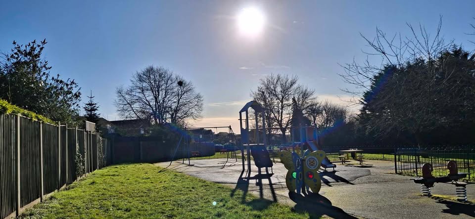
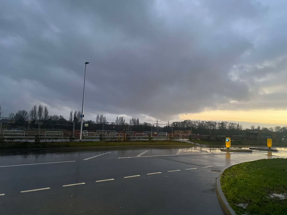
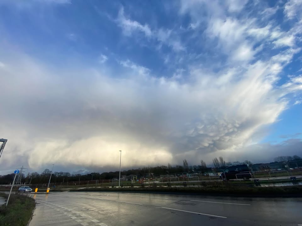
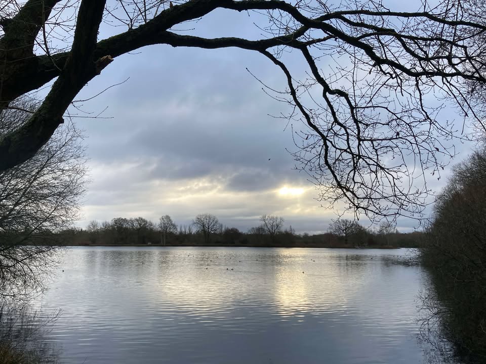
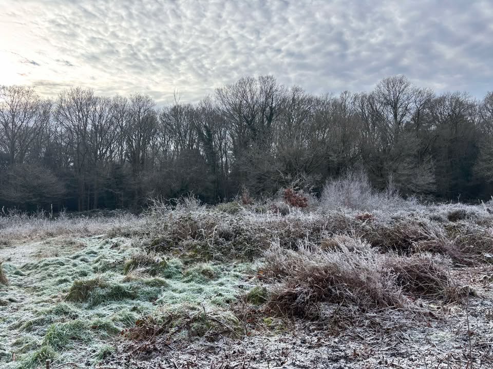
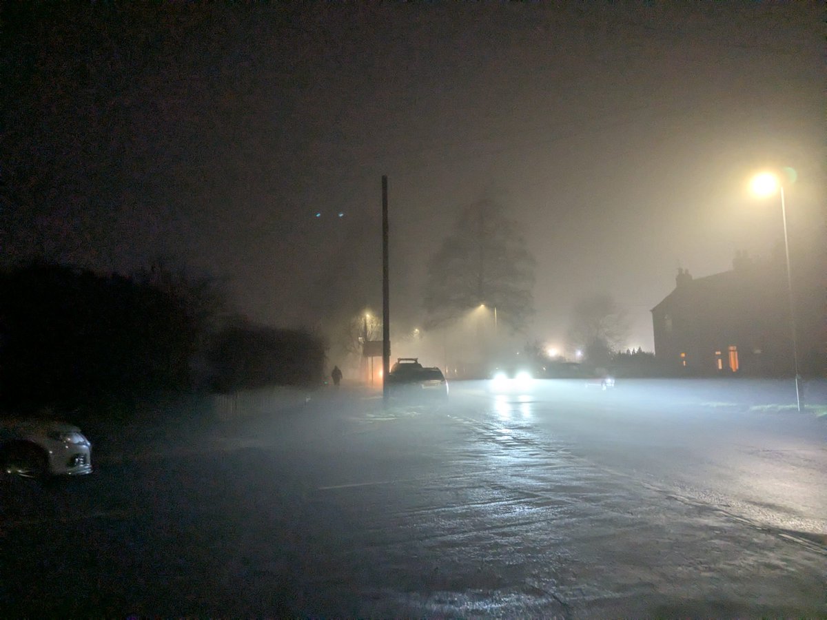
Thanks to Sue for the photograph.
We start the week very much in westerly mode, with low pressure towards Iceland.
...
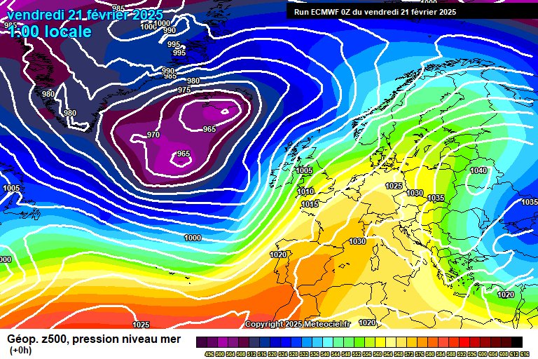
Friday 21st February 2025 #rdguk https://t.co/gnj7MN2Aor
Well it's definitely milder - but unsettled too. Plenty of cloud and rain in the forecast, but also some sunshine.
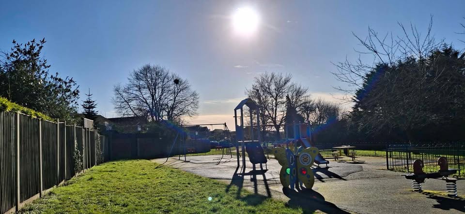
No photograph this week as all the only unused ones are sunny, I have nothing suitable/interesti...
Monday 17th February 2025 #rdguk https://t.co/ZuOvtOZ2Ve
Bring on the mild...with some rain and wind too. But first, there are still more cold days to get through.
Thanks to Jo for the photograph.
The general picture to start the week sees the rather large high pre...
Thursday 13th February 2025 #rdguk https://t.co/jn5QousN9L
Staying fairly cold, fairly dry and often cloudy (though some sunshine).
Thanks to Phillipa for the photograph.
The stalemate continues between high pressure to our north trying to push colder air in from th...
Monday 10th February 2025 #rdguk https://t.co/boCxj5CJFA
The fairly cold easterly continues, lots of cloud and a bit of rain.
Thanks to Julie for the photograph.
The general picture to start the week is dominated by the high pressure centred over Norway and the asso...
Thursday 6th February 2025 #rdguk https://t.co/XvYG9ZVHMo
An easterly is setting up, so becoming colder and fairly mixed, some sunshine, some cloud, some bits of rain - perhaps some wintriness too.
Thanks to Louise for the photograph.
We start the forecast period wi...
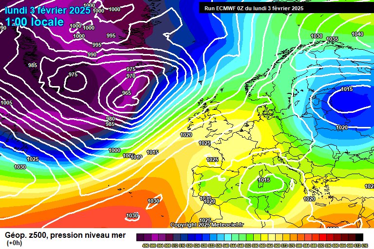
Monday 3rd February 2025 #rdguk https://t.co/zmPjrFUV5T
A fairly dry week ahead, and we'll start to pick up a chilly easterly by the end of the week.
Thanks to Isabel for the photograph.
The general picture to start the week sees the Azores High just about keeping w...
Friday 31st January 2025 #rdguk https://t.co/2eOQkVKs4O
High pressure gradually taking control with the jetstream heading north - not totally dry yet though. Broadly normal temperatures but maybe a bit more chilly later next week.
Thanks to Jo for the photograph.
S...
Monday 27th January 2025 #rdguk https://t.co/UoxSlzyTy1
Unsettled to start the week with further wind/rain/showers, high pressure taking control somewhat by the weekend.
Thanks to Jonathon, again, for the photograph.
We start the week with Storm Herminia in control,...
Sunday 26th January 2025 - Wind Update #rdguk https://t.co/qKpsswW9D7
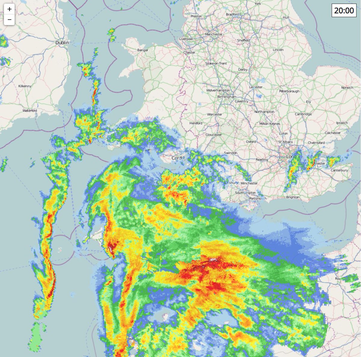
The next batch of rain is incoming for around 9pm onwards, which will be heavy at times, perhaps briefly very heavy/squally.
However, it the the potential for some damaging gusts in a very localised ...
Friday 24th January 2025 #rdguk https://t.co/1wArlzQqrW
Well that was a nice early wake-up thanks to the winds from Storm Éowyn this morning - and the disturbed spell will continue.
The winds have already peaked for us - but in Northern Ireland, southern/western Scotla...
Thursday 23rd January 2025 - Rain/Wind Update #rdguk https://t.co/zm0kHmaHRh
Just a quick note on today's potential developments.
A band of rain is crossing the country west to east, quite sporadic rain but somewhere between 12 and 2pm there is the chance for some real...
Monday 20th January 2025 #rdguk https://t.co/Cuga5XRNW9
It's time to fire up the jetstream.
Thanks to Tracy for the photograph, if perhaps a little optimistic.
The general picture sees a large plunge of cold air heading to North America early this week, which is the...
Thursday 16th January 2025 #rdguk https://t.co/eUHLRwSrtB
The cold spell is over, but we are back into a land of dull once more.
Thanks to Isabel for the photograph.
The general picture sees high pressure centred over Germany - yet another "if only it was summer" se...
Sunday 12th January 2025 #rdguk https://t.co/UCo25084Pr
Staying mostly dry and temperatures recovering to normal - the cold spell is ending, though nothing especially mild replaces it.
Apologies for the lack of updates/responses - I've again been laid low by one of the...
Monday 6th January 2025 #rdguk https://t.co/lfHXuufC3p
Another cold week with some possible wintry surprises.
I hope you enjoyed your snowfall (well, I assume you all got at least a slushy and temporary covering). I know I said I would update on Saturday, but I was co...
Friday 3rd January 2025 #rdguk https://t.co/TtQVB1xZVX
Most cold, though with a mild and wet blip...preceded by snow though.
Thanks to Tracy for the photograph.
And may I also wish you all a happy and hopefully sunnier new year.
The general picture going into thi...
Monday 30th December 2024 #rdguk https://t.co/s6K0pMJ9n9
Two calm days to come but then all change - wind and rain to welcome 2025, followed by an Arctic blast.
Photograph again comes from me of the gloom in Hull over Christmas...though you could pretend it is Reading,...
Friday 27th December 2024 #rdguk https://t.co/xHbAeLWzlb
Mostly dry and mostly cloudy until next year.
Thanks to Isabel for the photograph.
So the general picture sees high pressure in control, centred to our east over the continent. Something I expect will repeat ...
23rd December 2024 #rdguk https://t.co/KoPr4Q078a
Becoming mild, and mostly dry and cloudy - with some variation.
Photograph comes from myself, in King's Cross this weekend.
We start the week still in this chilly north-westerly, but high pressure is about to move in...