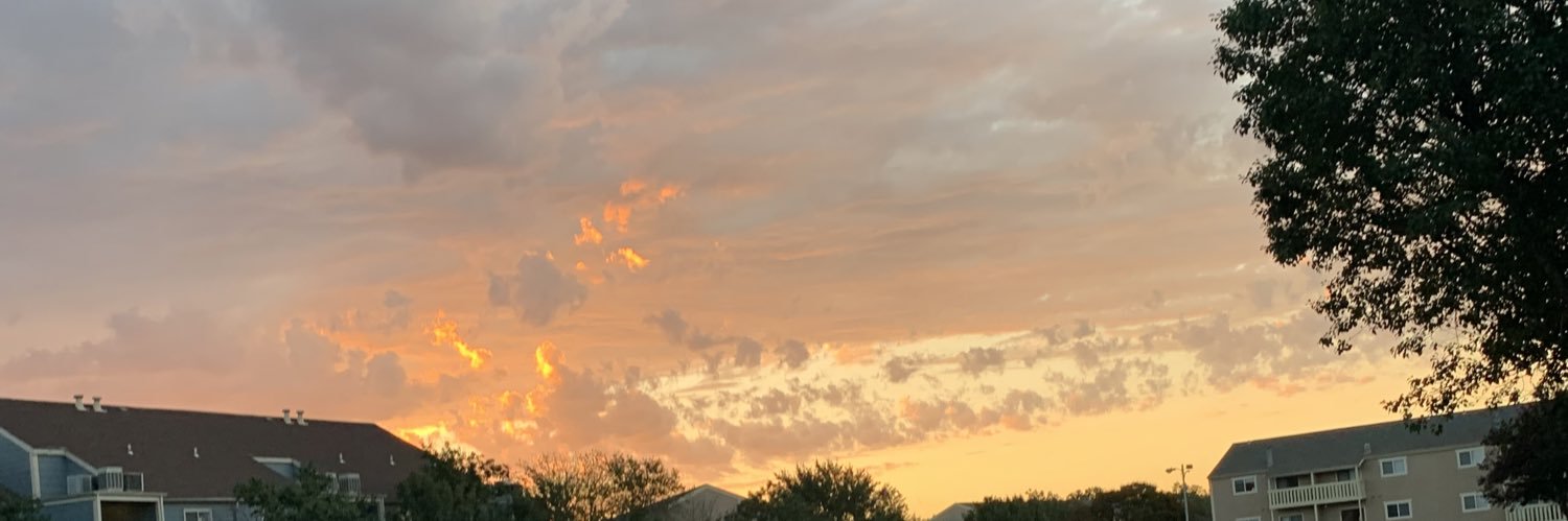
@DelaloireAlex1@CitiesSkylines We only tornados and wild fires. No tsunami or earthquakes. The first cityskyline game yes we have those but not the second game
🚨 The Storm Prediction Center just bumped eastern Iowa and northern Illinois up to a Level 4 of 5 for today.
This is already in motion. A bowing line of storms that fired overnight has a history of severe wind gusts from Nebraska into Iowa, and it's pushing east-northeast through midday. As it does, the tornado risk picks up, not just the wind.
Then comes round two. As the cold front fires new storms this afternoon and evening, the low-level jet cranks back up and the line marches toward Lake Michigan, across Illinois, Indiana, and Lower Michigan.
Damaging winds are the headline, but strong tornadoes are on the table too. If you're anywhere from eastern Iowa through Chicago and into southern Wisconsin, today is the day to keep your phone close and your plan ready. We'll be LIVE on this.
It happened so fast! The Saint Libory, Nebraska tornado on 17 May as seen by DOW A. Rapid development into an intense tornado🌪️ with Doppler velocities of 170mph! …then a quick dissipation. #newx
Folks, if you ain't otw then stay home. Y'all can't drive, can't read radar, can't forecast on your own, and probably film vertical facing the wrong direction. Glad today didn't live up to it's full potential. We've almost been t-boned, rear-ended, and sideswiped today! Thank you
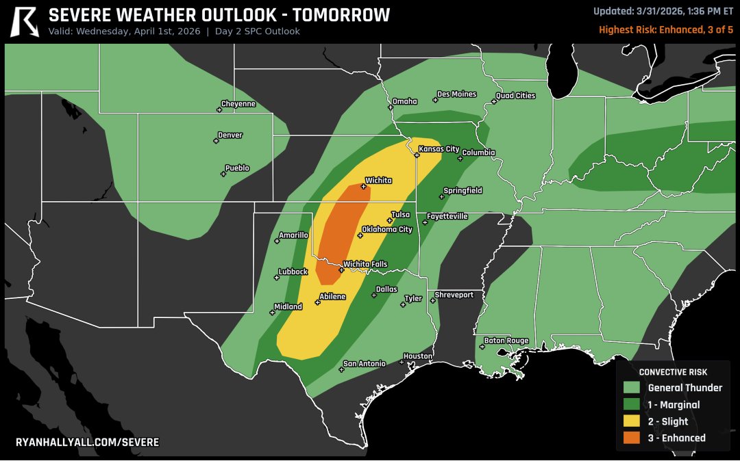
Tomorrow just got bumped to a Level 3 across western Oklahoma, north Texas, and south-central Kansas. Supercells with 2+ inch hail are expected to fire along the dryline by late afternoon, then grow into a damaging wind and tornado threat as storms push east across I-35 overnight.
Check out this radar loop time-lapse of the supercell that briefly went tornadic near Pontiac, Illinois on 3-10-26! You can see the hook develop and the chasers scrambling to get a look see. @WxWiseApp