🏙️ De mapas a vectores: Cómo la IA está empezando a entender las ciudades
El software de mapas tradicional (GIS) es excelente para visualizar, pero limitado cuando intentas aplicar modelos de aprendizaje profundo para predecir flujos urbanos, optimizar el transporte o analizar la morfología de una ciudad.
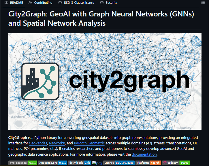
La librería de código abierto city2graph construye un puente directo entre los datos geoespaciales y la Inteligencia Artificial Geográfica (GeoAI). Transforma geometrías complejas en grafos relacionales listos para entrenar Redes Neuronales de Grafos (GNNs).
.
🧱 La infraestructura técnica detrás del proyecto:
• Modelado Morfológico: Permite conectar variables del entorno urbano (edificios, calles, zonas de uso de suelo) y convertirlos en nodos con atributos enriquecidos de proximidad y adyacencia.
• Ingesta de Transporte Eficiente: Integra consultas SQL optimizadas mediante DuckDB para procesar feeds de transporte público (GTFS), facilitando el análisis de accesibilidad y el modelado de redes multimodales en segundos.
• Análisis Dinámico de Movilidad: Traduce matrices de origen-destino (como flujos de bicicletas compartidas, peatones o migraciones internas) directamente en redes de flujo humano legibles por modelos predictivos.
• Ecosistema Unificado: Funciona de forma nativa como una interfaz integrada entre GeoPandas (análisis espacial), NetworkX (análisis de redes tradicionales) y PyTorch Geometric (Deep Learning).
.
Al final, las ciudades no son solo imágenes o coordenadas aisladas; son redes vivas de interconexiones complejas. Llevar esa complejidad al formato exacto que entienden los tensores de IA es el primer paso para diseñar entornos urbanos realmente inteligentes.
Dejo el enlace al repositorio oficial en la sección de comentarios.
Guarda este post en tus marcadores si trabajas con datos espaciales, grafos o machine learning aplicado al mundo real 🔖
Today, we're introducing Claude Fable 5 and Mythos 5, two configurations of our next major language model.
I'd normally highlight the numbers: It's SOTA on nearly all benchmarks. I want to talk about something else, because with Fable 5 out in the world, I think a third era quietly started today.
I lead Claude Code & Cowork on the desktop, so I think a lot about how people use AI to get work done. I believe we're about to see a major shift, moving from giving AI tasks to giving it responsibilities.
How to Connect Zotero with Claude Code
A step-by-step tutorial
This tutorial is written a simple and accessible language. It contains a few technical details, but you don't need any technical knowledge of coding expertise to follow this.
AI answers look right. But they’re often incomplete or just wrong.
Short answers. Few sources. Not accurate.
AnySearch pulls real-time data from multiple trusted sources into one view, so you get answers you can actually trust.
🌐 Forecast resolution has become one of the defining developments in modern meteorology.
Over the past decades, operational forecasting has progressed from grid spacings of tens of kilometres to kilometre-scale simulations capable of resolving local terrain effects, urban heat islands and small-scale weather phenomena.
Higher resolution is changing how forecasts are verified, how computational resources are allocated, how convection is represented within models, and increasingly how weather information is used for decision-making. Our latest article also explores why better forecasts depend not only on more powerful models, but equally on the quality of global observation networks, and how artificial intelligence is beginning to complement traditional numerical weather prediction.
Among the topics covered are:
➡️ the value and limitations of high-resolution forecasting
➡️ the computational challenges behind kilometre-scale models
➡️ the "double penalty effect" and forecast verification
➡️ the role of observations in reducing forecast uncertainty
➡️ the emerging role of AI in next-generation forecasting systems
Read the full article 🔗 https://t.co/pbt7CmU5TS
Codex has become a core part of how we do data science @OpenAI.
Today we’re launching a new Data Science plugin, built by data scientists for data scientists.
It helps with everything from exploring raw data and diagnosing metric changes to building dashboards, writing reports, and getting to stakeholder-ready insights faster.
The feedback has been strong:
• 100% of users said it speeds up the path from raw data to insight.
• 100% said it helps them take on more work than they otherwise could.
The best description I’ve heard is that it’s a force multiplier: getting us from 0→80% quickly, helping us make progress across multiple projects at once, and improving the quality of the final output.
Excited to share it with everyone.
https://t.co/Ou5jhCEjMi
Building autonomous agents for scientific discovery? 🧬🤖
@GoogleDeepMind Science Skills is now available on GitHub. We've open-sourced this specialized toolkit to accelerate your agentic workflows with scientific grounding and higher token efficiency.
Download now ↓
https://t.co/cwp1HOeKvo
Frustrated by traffic? 🚗💨 What if roads could tell us what's next?
Mobility infrastructure management leader @Abertis uses our Roads Management Insights to turn mobility data into powerful foresight, making your journeys smoother and safer.
RMI's unique combination of data quality, granularity, and the ability to operationalize insights through a scalable analytics environment allows Abertis to move beyond descriptive reporting toward proactive management.
See how we're making roads smarter, together → https://t.co/vjE1vbWV3i