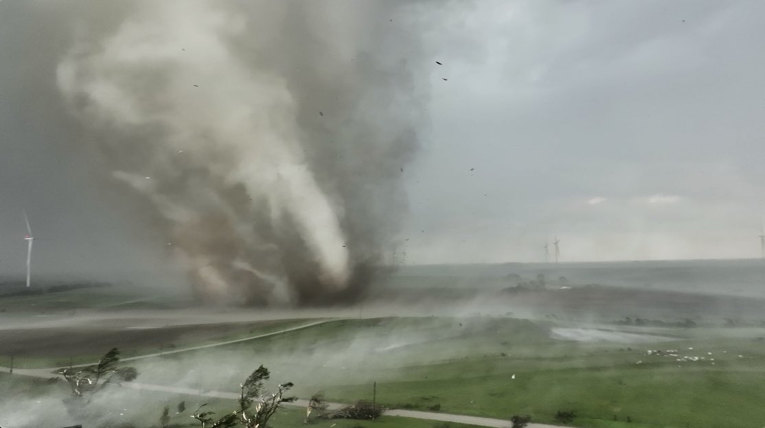
Tornado earlier near Salem, IA, second video of the tornado as it entered New London, IA doing damage to a farmsted. Multiple circulations in the New London tornado. #iawx#tornado#wxtwitter@NWSQuadCities
The most insane #tornado intercept ever with Dominator spinning 360 degrees! Full surface wind and pressure data set collected with parachute probe riding the tornado! WATCH: https://t.co/1FRbbSav1S
For severe weather, a majority of news media is less of a source of life-saving real-time information and more of a place to just watch damage footage the next day. If you want real-time information from the front lines of severe weather, follow storm chasers on social media
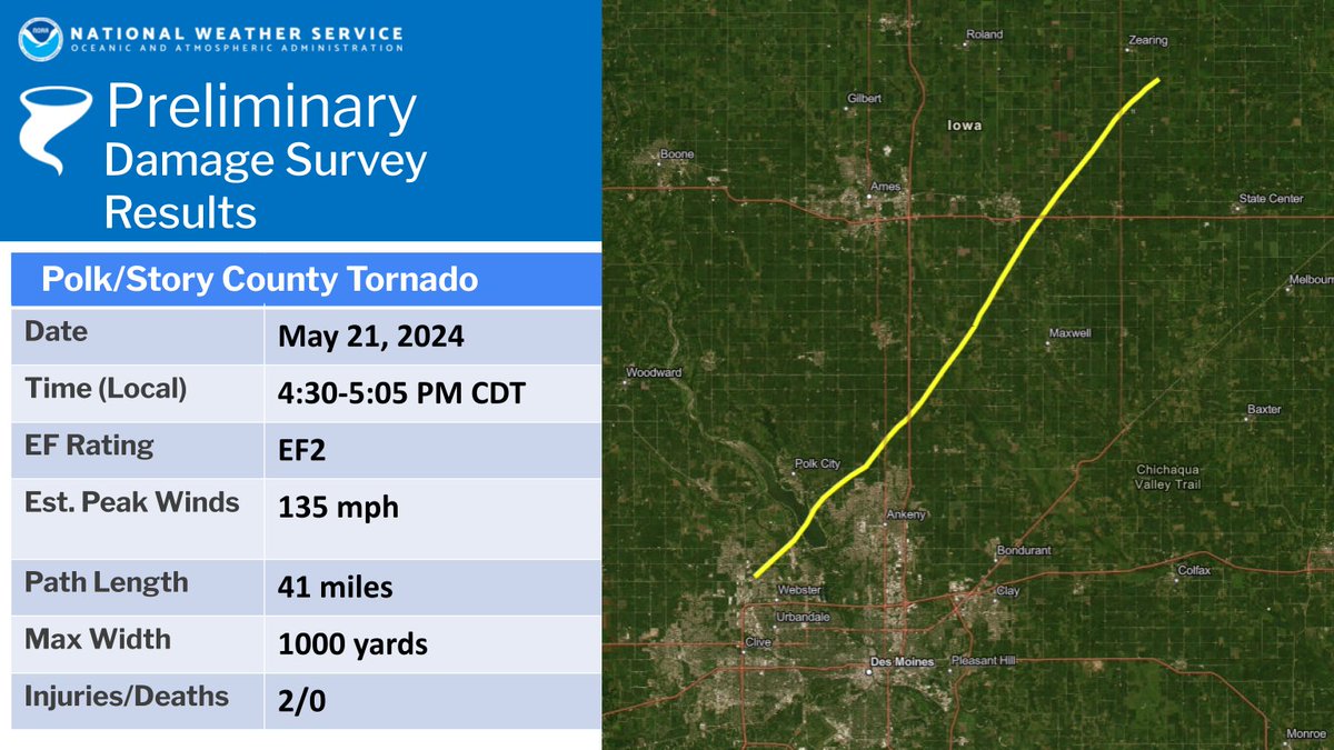
Our first survey team is back at the office. This team surveyed Polk and Story Counties, findings an EF-2 tornado tracking from Johnston to south of Zearing.
Stay tuned later this afternoon/evening for information on other tornadoes as our teams get back. #iawx
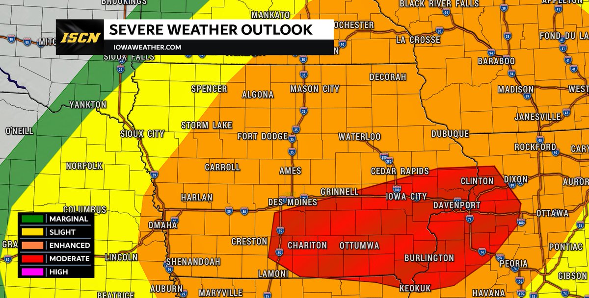
UPDATE: The Storm Prediction Center has issued a moderate risk for Tuesday afternoon east of I-35 to primarily south of I-80. This is due to a high damaging wind threat with gusts over 75-mph, but tornadoes (some strong) are also possible within this area too. #iawx