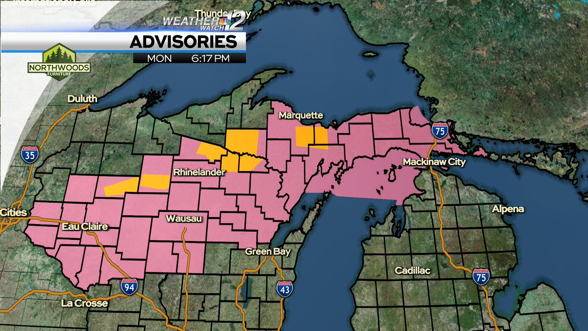
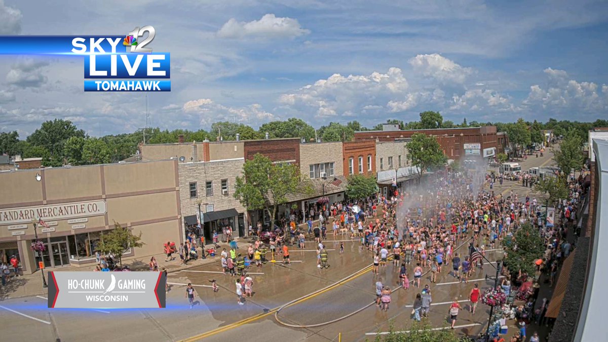
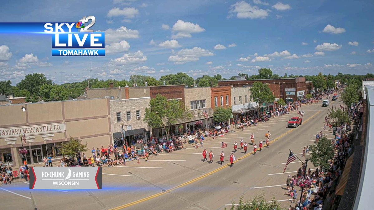
Nothing severe in here (at the moment). Just some beneficial rainfall and wind gusts around 30MPH. The severe weather threat is over for Vilas county. This is not the case further south as this line sags south into areas that saw 90° temperatures today. @WJFW12
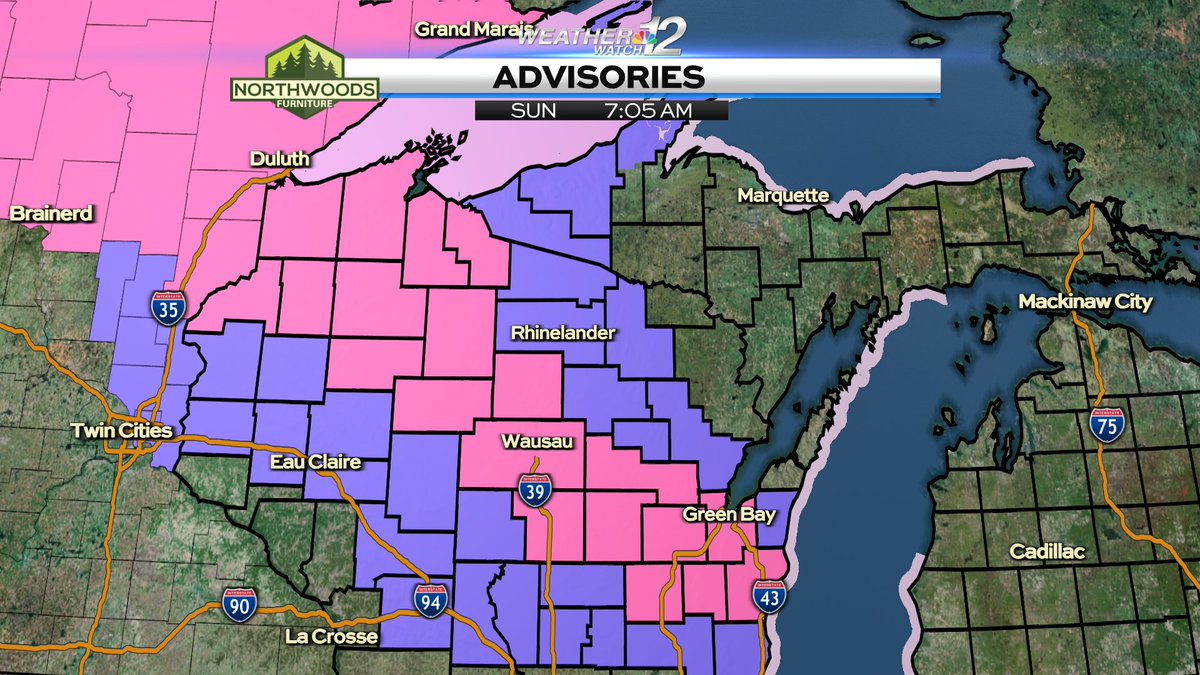
A SEVERE THUNDERSTORM WATCH has been issued for the areas in pink until 10PM. Ongoing severe thunderstorms across far northern Wisconsin will drift south into central Wisconsin tonight. @WJFW12
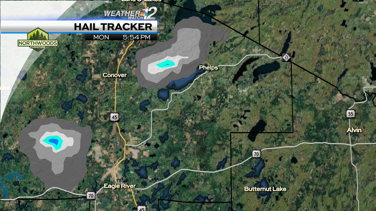
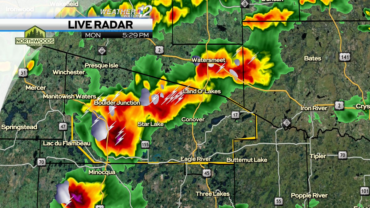
This hail core slightly northwest of Eagle River could produce hail up to the size of a quarter. Another, slightly weaker hail core is about to move into Phelps. @WJFW12
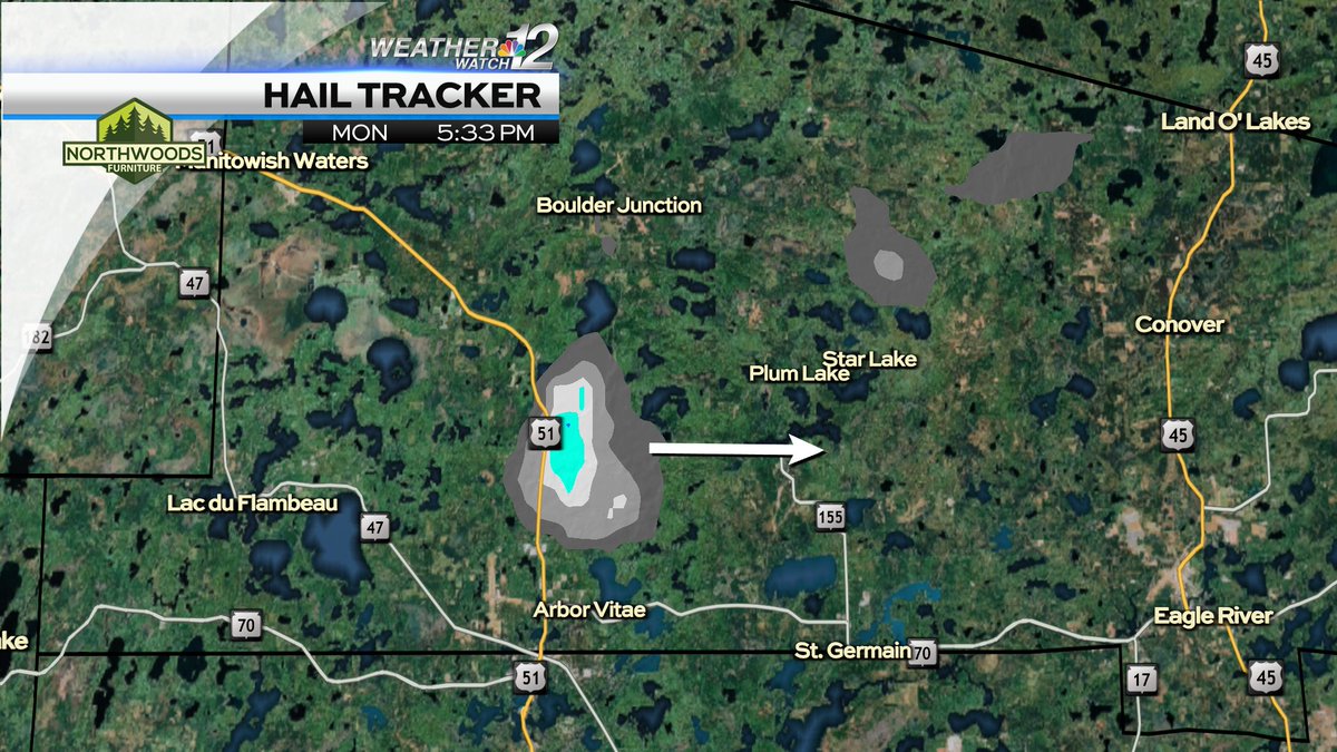
A developing large hail core is crossing Highway 51 moving east towards 155 and eventually Highway 45. Quarter sized hail should be expected with this severe thunderstorm. @WJFW12
A SEVERE THUNDERSTORM WARNING is in effect for VILAS county until 6PM. 60MPH wind gusts and quarter size hail are possible as this severe thunderstorm moves east at 45MPH. @WJFW12
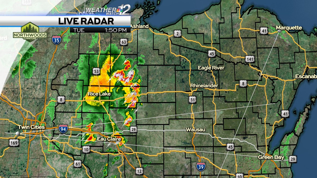
1:50PM SEVERE WEATHER UPDATE: Thunderstorms developing now in western Wisconsin are moving northeast at 30MPH. This line is currently non-severe. The thunderstorms should increase in coverage and intensity as they move into north central Wisconsin over the next 2 hours. @WJFW12
My series Where in the World is Geoff Weller starts tonight. Join me most Monday’s in May to see my live reports from interesting places all over the World. Tune in at 4, 5 and 6PM to see where in the World Delta and Skywest Airlines take me.
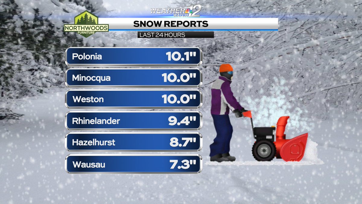
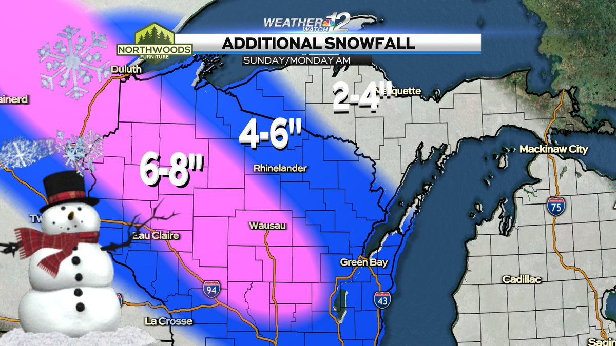
Here's a handful of snow reports. Round 1 (of 2) generally brought a 1-4" snowfall with a few exceptions north of Highway 29. Round 2 (A very strong storm) will bring around a foot of new snow and wind to most locations north of Highway 29 overnight tonight. @WJFW12
A very narrow band of moderate snow is lifting through the Northwoods now. A quick inch of snow is possible. Additional widespread snow arrives overnight with another 1-2 inches generally north of Highway 29. @WJFW12
Here's a handful of snow reports. A couple of these are an hour or two old. This snow event is winding down slowly. An additional 1-3 inches is possible through sunrise Monday. @WJFW12
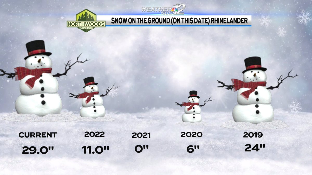
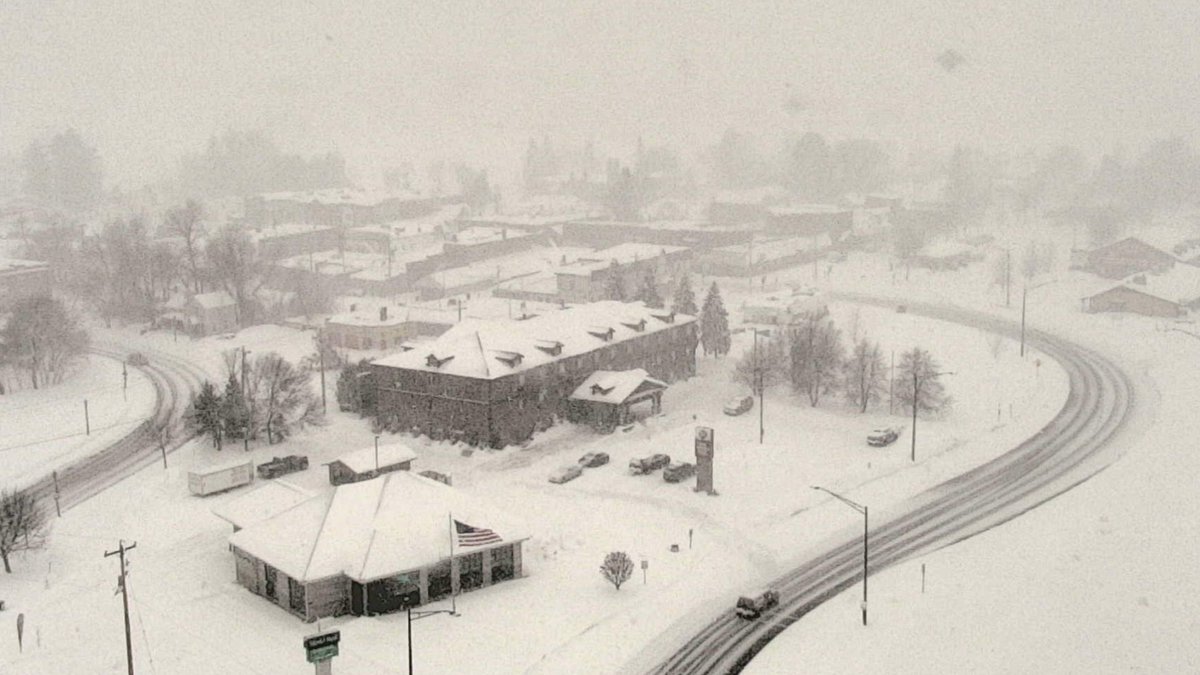
Ahhh, life in a northern town. Minocqua is showing off. Light to moderate snow will diminish to flurries overnight. Rhinelander is about to enter its 23 hour of continuous snowfall. Over 7 inches has already piled up with another 2-4" in some areas overnight. @WJFW12
WINTER WEATHER ADVISORIES have been upgraded to WINTER STORM WARNINGS for LINCOLN, TAYLOR, MARATHON, PORTAGE and PRICE counties overnight. A narrow band of heavier snowfall will set up in these areas today. Expect light to moderate to (at times) heavy snowfall all day. @WJFW12
Here's a handful of snow reports. Lake Tomahawk takes the lead with 10.5". This system is winding down. Another inch or two in a few locations before it ends. Then we get to play on all of the new snow over the weekend with highs in the 20s. @WJFW12