Finding new ways that new space can help people— @iceyefi . Former Fox13 weekend evening meteorologist in Tampa; South Jersey native/Upstate NY transplant
Our latest Flood Briefing on the flash flooding in Northeast US is available for download now. In this report, you can access insights on flood extent, depth, and building inundation levels.
Get your PDF report here 👉 https://t.co/IY8NQtt49S.
We're proud to be part of the parametric pilot program led by @SwissRe_CS & @GuyCarpenter aiming to protect low and moderate-income communities in New York City from flooding. Our joint efforts will boost financial resilience for most vulnerable households
https://t.co/JCKa2gXj3M
A SAR image with very high resolution AND large coverage?
With a scene size of 15 km x 15 km, our new Spot Extended Area image is the world’s largest #SAR imagery with a ground resolution of 1-meter. Read our latest blog.
#PersistentMonitoring https://t.co/q2OskLKBNv
Prepared for launch! @iceyefi radar satellite images with the @SpaceX#Falcon9 rocket upright from earlier today, and a prior comparison shot. #PersistentMonitoring with ICEYE #SAR satellites!
Three months of rain fell in just three days in Canterbury, New Zealand, causing widespread flooding. ICEYE's #flood analysis revealed that a total area of 68.4 sqkm was inundated on the South Island.
Read more about the analysis: https://t.co/bk0EMYW1gY
ICEYE’s analysis of the #flood in Kentucky this week indicates that over 1,250 buildings were impacted, more than half were inundated with at least 3 feet of water.
Download ICEYE’s Flood Brief: https://t.co/HtNeqXm03G
#insurance#reinsurance#underwriting#claims#natcat
Explore the ICEYE flood briefing on the Oct 2020 #TropicalStorm Linfa in Central Vietnam. https://t.co/N2C3scPxfj
Learn how ICEYE's Flood Monitoring solution can help you understand the unique characteristics of an individual #flood.
Are you at the @AGCofA conference this week? @wxmikeb is presenting with Jacobus Vrolijk from @Bechtel in a session called, "Rain Check: A Hard Look at Weather’s Impact on the Construction Process and the Granular Data Now Promising to Clarify the Risks." Stop by and say hi.
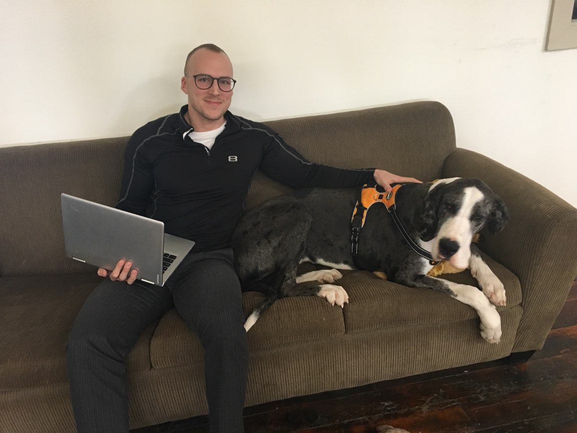
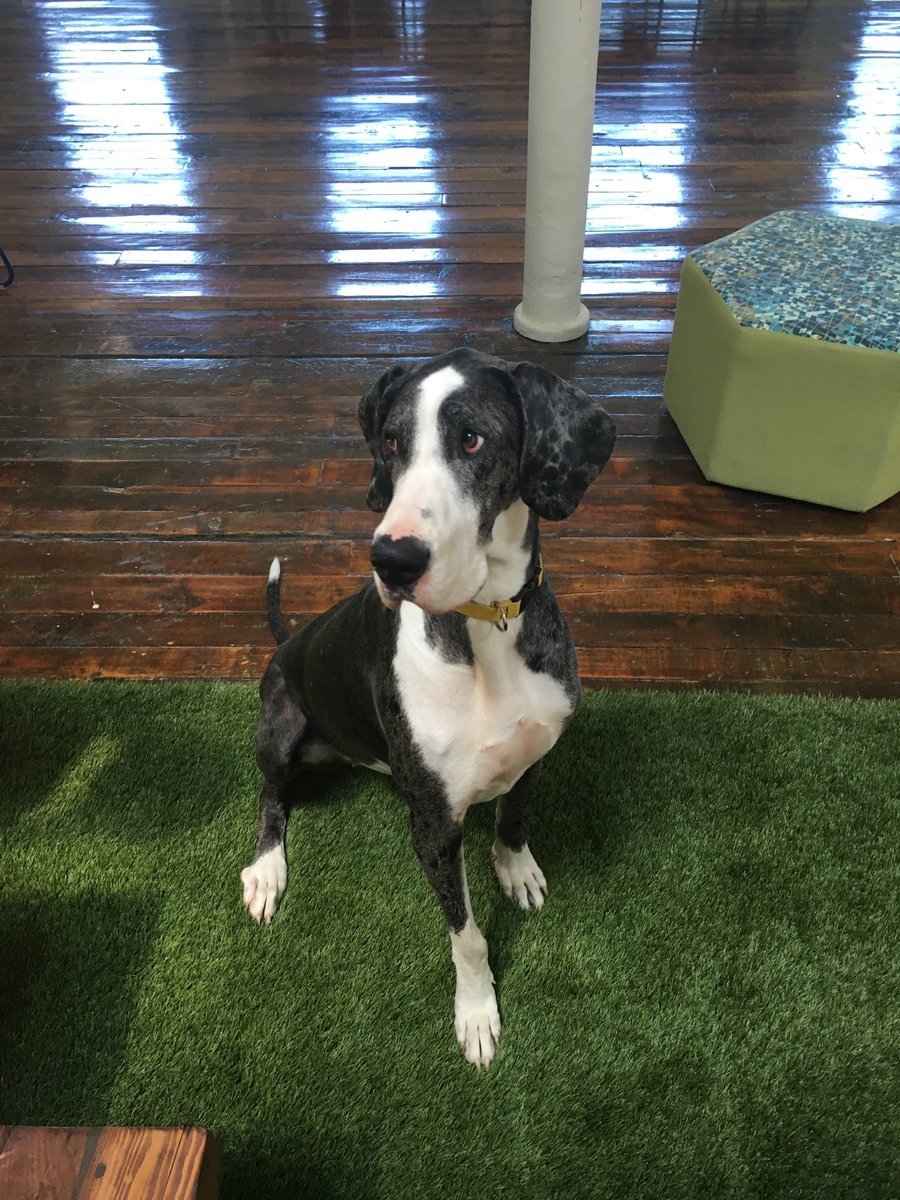
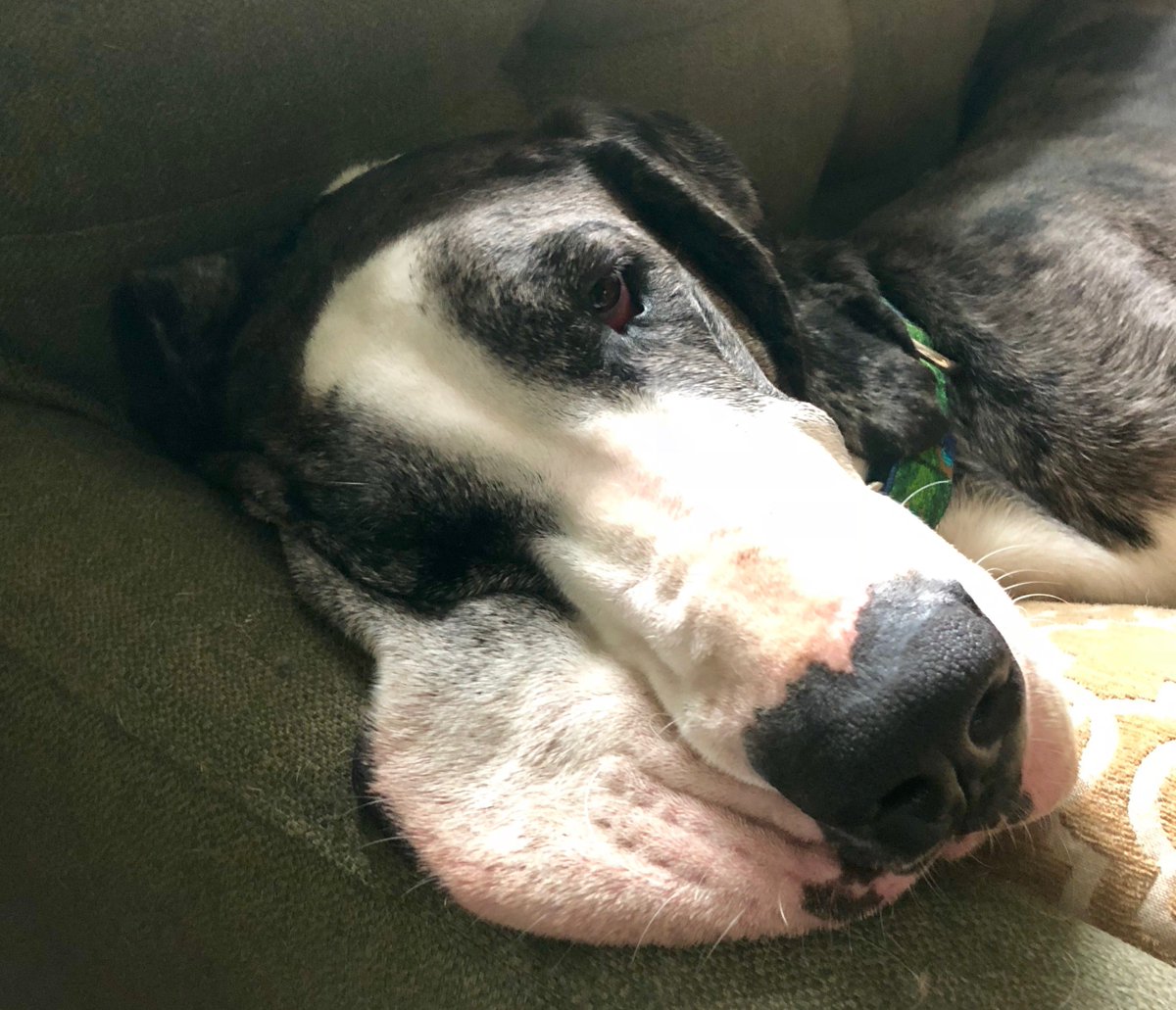
At Athenium Analytics, we take our playtime seriously – with our dog-friendly office policy for our four-legged employees! Check out all our regulars in our new #CompanyCanines blog: https://t.co/SasyBztJzC #officeculture
This week’s #CompanyCanine is intimidating at first sight, but don’t let her fool you. Venus, adopted by our director of strategic products Josh Watkinson, loves bugs. And don’t leave your coffee unattended – she loves a good dark roast with cream and sugar. #greatdane
The latest global warming data paints a dark picture for #insurance carriers. What can insurers do to prepare for the next billion dollar storm? https://t.co/d2N9BT73s5
#climatechange#globalwarming#underwriting
As #Hurricane#Dorian moves up the Atlantic coast, the lesser-known #Juliette slowly loses strength in the Pacific. Meteorologist @Zai_Wx looks at the science behind why the West Coast sees more wildfires than tropical cyclones:
https://t.co/o1bIl37Jmn
#HurricaneDorian2019
The calm before the storm. We are excited to be a sponsor and exhibitor at the AGC Safety Health & Environmental Conference! Stop by to learn how GaugeConstruction can protect your team, materials and timeline against weather-related risks during every phase of construction.
Join @WxCyrena, @wxmikeb & special guest @philklotzbach from @ColoradoStateU's Tropical Meteorology Project on a special webinar to discuss how #insurance companies can prepare for the 2019 hurricane season. May 29th at 2:00 PM Eastern. Register now!
https://t.co/2XCqMbmhCM