@RyanBurnsMN There will be intermittent drizzle/light rain through about 3-4pm. You won't be able to see much of that on composite radar due to its light nature. Isolated showers are possible after 4pm, but will be few & far between. Wind gusts will increase to 25-35mph by the end of the game
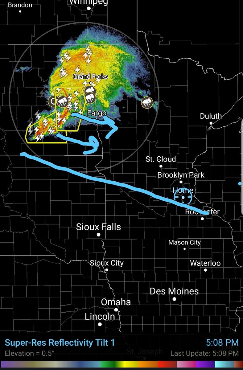
Intense line of thunderstorms with a history of 65-90 mph winds looking to impact the Twin Cities between 10pm-11pm tonight. Arrival in the west Metro looks to be around 10:15pm and east/south Metro around 10:45pm.
Watching the ongoing development of a severe complex of storms over E. North Dakota. This complex should follow a thermal gradient (blue line) into the Twin Cities tonight. Most mature & strongest storms should impact the N. Metro. Strong storms possible in S. Metro as well.
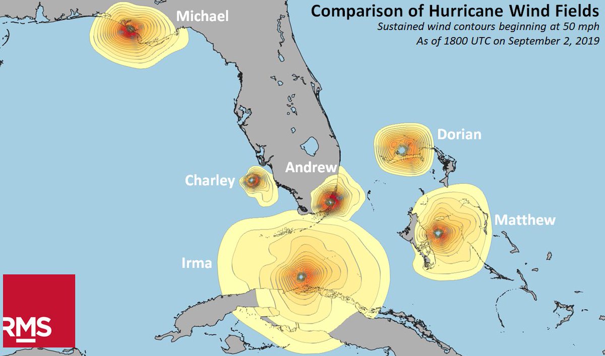
@VerstegenWX IBM's model showing landfall or near landfall around Cape Canaveral. I believe the HWRF is also making landfall around there it a bit further north. I really hope ppl aren't letting their guard down.
@jgkfan ...In other words, hurricanes transport significant amounts of latent heat as means of accomplishing heat equilibrium. You stop that transfer, you likely create larger issues that are unforseen.
@jgkfan We have no means of up welling that much water in the short amount of time we have in front of hurricanes. Even if we could up well that much water, the bigger issue is the Earth's natural heat transfer. Hurricanes are a major source of heat transfer...
@jgkfan In all seriousness, Bill Gates actually had patens in hopes to up well water in front of hurricanes to weaken them. Problem is, hurricanes are the size of states like Alabama and Mississippi combined.
@NWSTwinCities What's it take to get a report to show up on SPC? I've made 2 reports now, with today's being more significant, haha. A lot of tree damage in a localized area of Lakeville and no report? The map is the general area, with the hashed area most sig. May want to survey