Here's our team's snowfall forecast for the snowstorm tonight into Saturday for the Mid-Atlantic and Northeast regions. Areas under the heaviest banding will see the higher end of snowfall amounts! Stay tuned for updates!
It's been a day since this post.. let's break down the main change that has occurred since.
It's the decrease in uncertainty. Most model guidance has converged on a minor to moderate snowstorm, mainly from Northern Virginia to Central New Jersey. Sorry, folks in SNE.. this just isn't the snowstorm for you.
The storm is expected to be fast-moving and weak, so snowfall totals will likely not be very high. A general 1-3" is possible from the DC to Philadelphia metros, with isolated amounts of 3-5".
General timings seem quite certain; the storm will move in Friday night and end Saturday morning. Yep.. very fast moving. The passage of the storm overnight will allow for much more cold air. This snow will stick.
Exact details remain unknown, however this should bring some snow to the aforementioned areas.
Extra note: NYC could definitely get in on this; you'd just need some extra shifts north.
Stay tuned for updates!
As today's major snowstorm moves out, we begin to monitor the next Eastern United States snowfall threat, which is in the short to medium range.
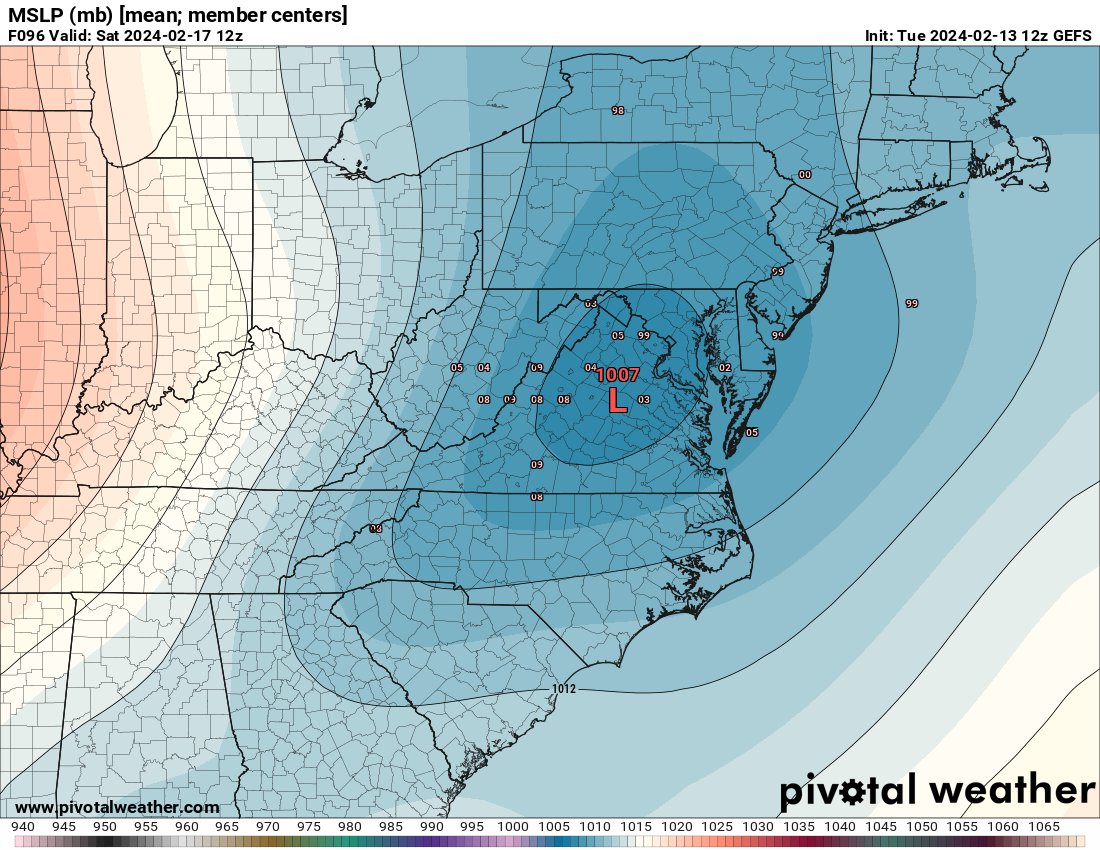
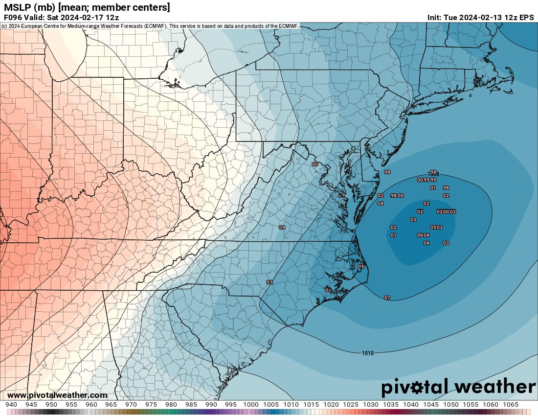
Decent support is present on ensemble and global models for a weak storm around the 16th-18th timeframe. Exact details are still unknown, but there is a chance for a light to moderate snowfall event for anywhere from Virginia to Massachusetts.
Stay tuned for more updates!
While the possible Saturday snowstorm is still the main topic of interest right now, there is another moderate snow event possible for areas of New England in the forecast. This snow event, beginning on Friday, would likely bring light accumulations to many; probably around 1-3" of snowfall in lower elevations with 3-5" in higher elevations.. that is, if temperatures allow.
Unfortunately for folks in Southern New England, it will be a battle between mid-level and surface temperatures. While it is cold enough at 850 mb (the mid-levels) to snow, surface temperatures are too warm (explained in the gif)
This should drop a few inches of snowfall, however it will likely favor Northern New England instead of Southern New England. Interesting system nonetheless.
Stay tuned for updates!
As today's major snowstorm moves out, we begin to monitor the next Eastern United States snowfall threat, which is in the short to medium range.
Decent support is present on ensemble and global models for a weak storm around the 16th-18th timeframe. Exact details are still unknown, but there is a chance for a light to moderate snowfall event for anywhere from Virginia to Massachusetts.
Stay tuned for more updates!
Over the past 24 hours model guidance has significantly shifted south with tomorrow’s winter storm system. What originally looked like a primarily interior snowstorm is now looking like a classic I-95 snowstorm. We will be posting a detailed snow forecast early this evening. Stay tuned for updates!
The past 24 hours have featured one of the most dramatic short-term model adjustments that I can remember with a Northeast US winter storm in over a decade. The location of heavier banding within this system has trended southward by easily 200 miles.
Yes! Model guidance has trended much farther south within the past 24 hours. It’s probably one of the more extreme short term failures by guidance in recent history. It seems like this mornings guidance is finally converging though. A snowfall map will be posted early this evening.
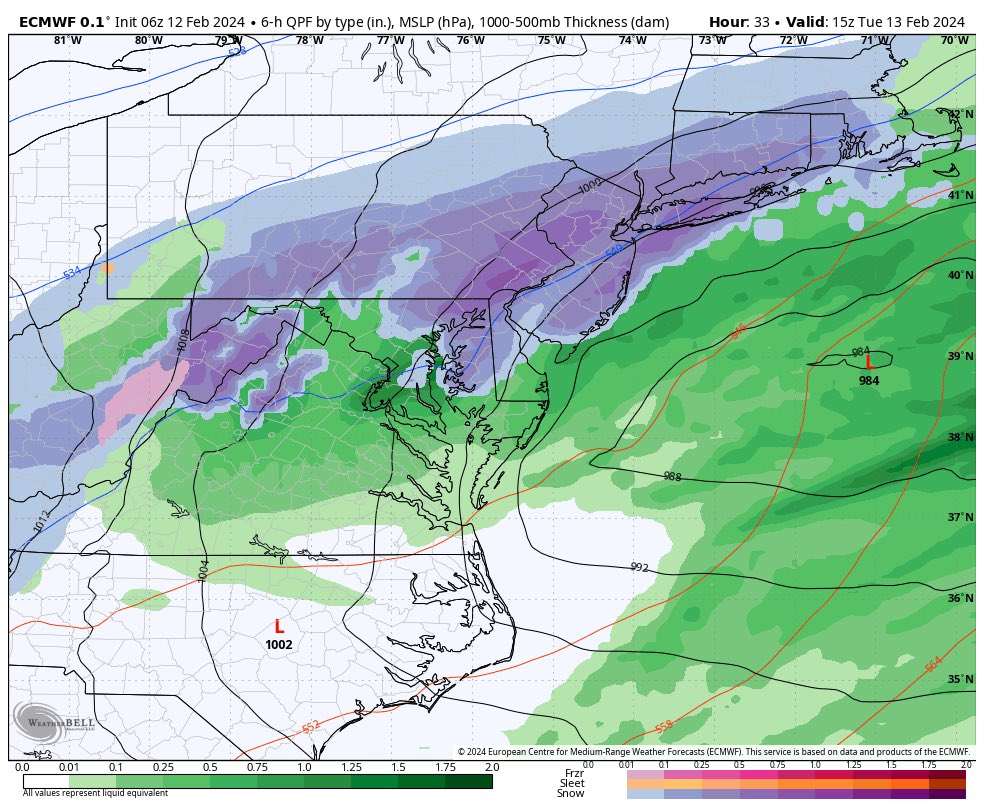
Based on real-time observations, the low pressure system of our Tuesday storm is weaker than modeled. As a result, the storm is beginning to shift slower/southwest on models. This is shown on the 18z HRRR, where the low pressure center is much further southwest compared to the 12z run.
Based on real-time observations, the low pressure system of our Tuesday storm is weaker than modeled. As a result, the storm is beginning to shift slower/southwest on models. This is shown on the 18z HRRR, where the low pressure center is much further southwest compared to the 12z run.
Following the 00z/06z models closely and the first model of the 06z run, NAM has appearingly come more amped with both the sfc low and 500mb..another north bump is possible this run..
Latest 01z NBM run. The area that is outlined has a >70% chance for >6" of snowfall. Areas to the south of this will probably get lower amounts due to mixing concerns. We continue to watch.
10:00PM! Will also share my snowfall map that I made this aftn though it will not be posted so be in the live to see it (I'll show it towards the end).
Why did NWS issue Winter Storm Watches earlier than the 48hr before a storm criteria?
Well a lot of it has to with high confidence in meeting the Winter Storm Watch criteria and thus, releasing a watch earlier than usual provides more public awareness/lead time.
Winter Storm Watches have now been issued for areas extending from central Pennsylvania up into New England, as confidence grows regarding the likelihood of a significant winter storm in the Northeast.