We have just announced with the European Commission that the @CopernicusEU#Sentinel1 B satellite can no longer deliver radar data.
This were the conclusions of the Anomaly Review Board:
https://t.co/N1CBYtxZw3
Huanrui’s #TheLostTomb: #ExploreWiththeNote (Heavenly Palace on the Clouds) officially announces leads in Bai Shu, Zhang Boyu, Zhao Dongze, & Zhao Ruihan, with Siqin Gaowa, Liu Xueyi, and more, as it gears up for premiere
#云顶天宫
Global coverage and free InSAR product of single orbit, with line of sight displacement product as well as the vertical one (assuming no horizontal deformation occured). Definitely worth it for the preliminary results before doing more complex InSAR measurements!
(1/4)⭐️On Demand Sentinel-1 #InSAR Products Now Available in Vertex!⭐️
InSAR is a powerful tool for detecting changes in the Earth's surface, useful for detecting deformation or motion of any kind at the millimeter scale.
How can we better predict volcanic eruptions around the world?
NISAR, an upcoming Earth science mission, will see through leaves and vegetation to measure changes in the Earth’s surface and help answer one of volcanology’s biggest questions. 🌋🛰
Cant wait for this NISAR Satellite with S and L band onboard! Definitely will be the first one of its kind with global-free-public access! So excited 😆🙏🏼
✈️📦 Special delivery! The S-SAR (synthetic aperture radar) instrument just arrived at JPL for installation on the NISAR satellite. It's one of two radars on this joint @NASAEarth-@isro mission to help us study hazards and global environmental change. https://t.co/1O1CS1rbcK
Radar satellite startup @umbraspace plans to capture imagery with a resolution as high as 15 centimeters per pixel thanks to a @FCC license. https://t.co/7iIYR0ODiB
Currently doing the same, but with C-band SAR combined with GRACE satellite observation for groundwater perspective. Both InSAR and GRACE measurements will be validated with available ground measurements. 🙏🏼😁📡🛰️🗺️
Land subsidence in Jakarta is predicted to aggravate widespread damage whenever a flood or storm surge occurs. JICA is applying Japan’s experience in dealing with land subsidence in Tokyo to combat the subsidence in Jakarta. See the link for more details.
https://t.co/Q2jjKtdIZ8
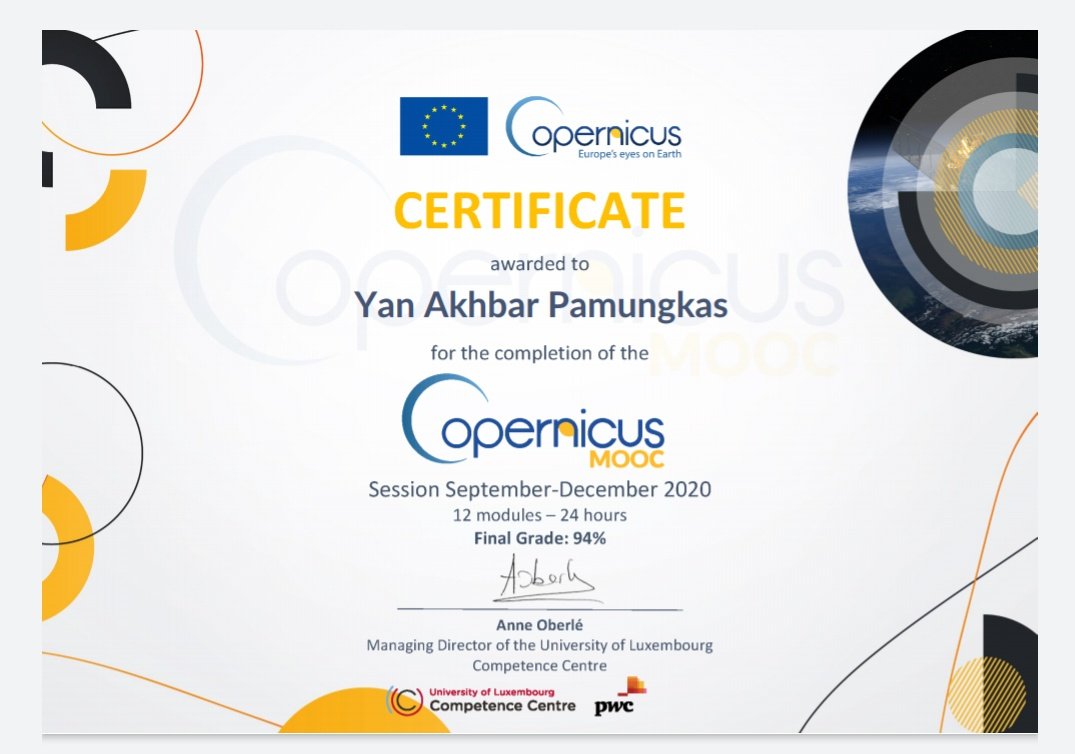
From science perspective of earth observation satellite, into many insightful companies utilizing global-free satellite product within this meaningful course #CopernicusMOOC@CopernicusEU
Did you know that scientists have essentially “weighed” Earth’s ice by measuring its gravitational pull on a pair of satellites called GRACE. The satellites make it possible to estimate ice loss and its contribution to sea level rise. https://t.co/vOE8qgzD1g #SeeingTheSeas