The Best Maps Lie Ahead
I want my favorite material culture to live.
I want people in 2130 to cherish a map made in 2030.
I want to see another Turgot-level map produced before I die (pic related).
In 1910 you could buy a 5-cent rail route pamphlet that looks better than nearly any map you can buy today. This couldn't be otherwise, considering who makes today’s maps:
• Atlas cartographers: mostly gone, those who remain can’t pick colors (exception: @ClarkGeomatics@BenchmarkMaps ).
• GIS managers: their job is to manage the sewer pipe database and make maps for 8.5x11" PDFs, can’t design or don’t have time.
• Editorial cartographers: under tight deadlines, editors don’t care, art directors don’t know how to shape or commission nice maps (Exception: Laris Karklis, Carl Churchill).
• Government cartographers: almost all GIS managers, the maps just gotta reflect the database, nobody cares how they look (exception: Anna Eshelman).
• Nonprofit cartographers: too busy with GIS tasks, boss doesn’t care about nice maps.
• Big tech cartographers: Google/Apple’s maps are database outputs, too constrained by people poking at the map to make them look nice (exception: Nat Slaughter).
• Academic/critical cartographers: not rewarded for making nice maps, rewarded for writing recondite PDFs about maps.
• Capital A Artists: too into deconstruction to make a sincere attempt (exception: Ido Michaeli).
• Biz intelligence cartographers: who’s gonna cherish a bunch of hex bins and choropleths?
Everyone likes old maps because olde timey cartographers started with a blank page and built up; the computer inverted this, letting you start with a cluttered page full of someone else's data and toss what you don’t want to show.
So the computer grants insane leverage to mapmakers (drafter, illustrator, scriber, letterer, colorist, engraver used to be separate jobs) but at an aesthetic cost:
1) You have to actively fight your tools to make the map look like you care about how it looks (████ Esri)
2) A good map requires attention over every square inch. This was built into pre-computer maps because a cartographer couldn't make his/her marks without looking over every bit, but now it’s an extra step that no one’s getting paid for, so it's relatively rare.
There are still dozens of excellent cartographers working today, on and off the computer. In my opinion the best contemporary mapmakers are commercial illustrators; they still start with a blank page, they care about gestalt and composition first, and they don't just affirm software's idea of what a map should look like. Cf. the work of @thisismikehall , Rodica Prato, Neil Gower, Kevin Sheehan, Alex Hotchin.
What is to be done?
Every beautiful map that makes you think "they don't make 'em like they used to": it can be made right now, and better. They had "time, strength, cash, patience," but while attenuated, those things are still around. A patron could pay an illustrator to walk around a city for years and draw every building he saw, like the Prévôt des Marchands of Paris did in 1734.
The bad news is there is no living memory of this art, no old hands to teach how the past's rich maps were constructed. We start from scratch. The good news: we know exactly what to aim for. A time and money problem sounds tractable to me.
The best maps of the future, computer-mediated or otherwise, will require 1) people who care enough to make them and 2) close-range instruction.
Unfortunately there’s no building in the U.S. to combine those two, where the enthusiastic meet the skilled and learn to make beautiful maps. Formal cartographic education does not exist in America; I have a (free) M.S. in cartography and all of the looks-nice mapmaking I did was extracurricular.
Today’s talented anglophone mapmakers taught themselves. The autodidacts are my favorite, but you shouldn't have to bootstrap your own training to make nice maps.
I'm a pro cartographer and I learned the trade by sitting at Daniel Huffman’s elbow and asking 2 years of stupid questions. There's no substitute for sharing a desk with a great cartographer.
This is solved with one building, a few million bucks and ten instructors, i.e. a school with a 1:1 instructor ratio, i.e. map apprenticeships.
Provide a nice space for pro mapmakers to work, students with extant art/design chops pick their mentor do their scut work (shoving around thousands of labels is a rite of passage) and receive a bite of their mentor's project fees. The teacher gets a useful helper and thus can accept more ambitious projects.
If you know a pile of money who wants the future to have great maps, tell them to DM me, I got plans.
Pictured: 1739 Plan de Paris, commissioned by Prévôt des Marchands Michel-Etienne Turgot, an ~8x10 ft. print made from insanely detailed engravings, took six years to complete. Money-fine, enormous, you'd go blind before you counted all those trees someone had to scratch into brass...
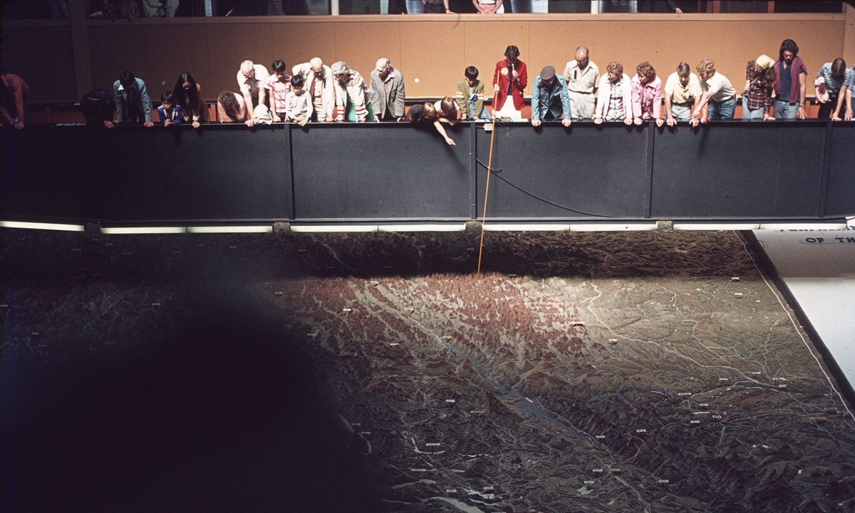
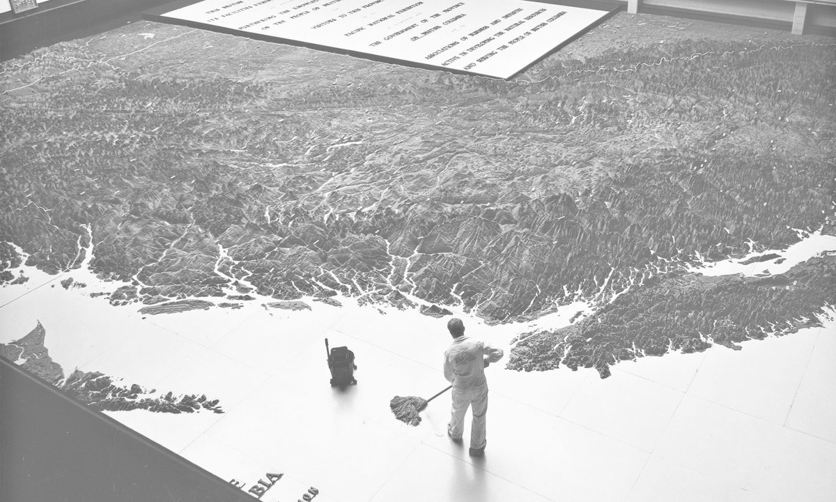
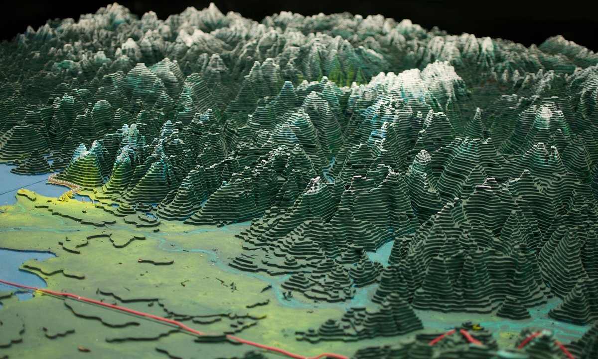
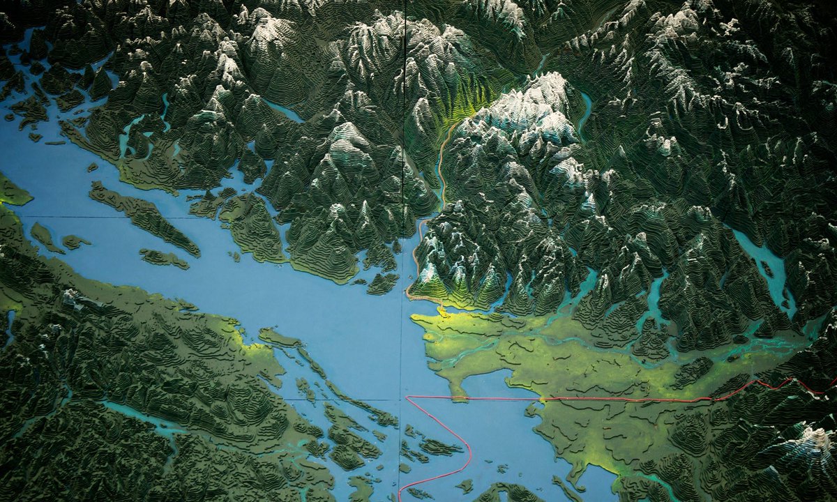
From 1947 to 1954 George Challenger and his family made an 80x76 ft. topographic map of British Columbia; ~1 million jigsawed + painted pieces of plywood
We're hiring a Senior Mechanical Design Engineer - Robotics & Automation.
You will quite literally be building the machines that build the ships, alongside a talented team of robotics engineers and naval architects.
https://t.co/76lR41wF7r
If you like making stuff and want to be mentored by one of the best fabricators in the world at a shop with every tool you might need to rapidly prototype at the speed of thought, then shoot me a DM. I'll explain how this isn't an empty offer or just marketing slop
Your tl needs this beautifully-lit 35mm Techniscope film about making cryogenic gases at Karlsruhe Institute of Technology’s Institute for Technical Physics
https://t.co/zv0wLyRlrS
Currently doing a job where we have to peel the paper masking off 12,000 pieces of acrylic (24,000 peels).
One of our guys decided to have some fun with it and made a trash can from the masking to throw the masking away in.
Quite impressed by the engineering here it has inner supports and everything.