For when you need to look deeper.
Every satellite operator faces the same blind spots after launch: confirming they are communicating with the right satellite, whether the spacecraft deployed as designed, and what operational mode it is in.
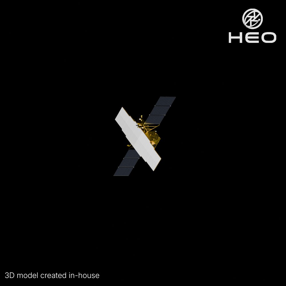
This image of ALOS-4 is an example of how HEO helps close that gap when the stakes are highest. Through non-Earth imaging, we identify the satellite, confirm the solar arrays and PALSAR-3 antenna are fully deployed, and verify its operational state, all from another satellite flying by.
We're routinely expanding this capability, partnering with more satellites and launching proprietary sensors to extend coverage and improve image quality to read finer detail on configuration and behaviour.
At first glance, it's just a satellite. Look closer, and you may find the answer you need.
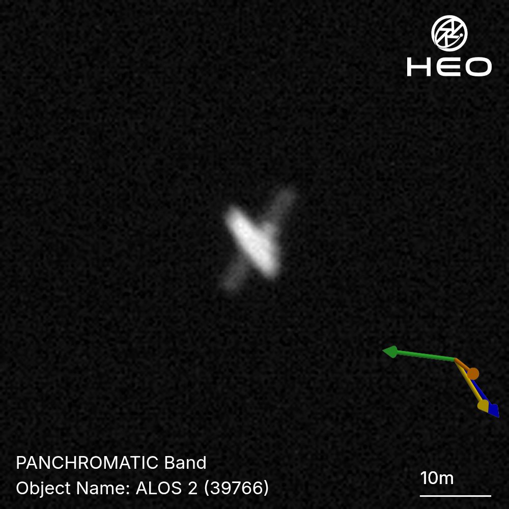
This is ALOS-2, Japan's flagship L-band SAR satellite, captured by HEO during a close flyby.
Telemetry tells you what a spacecraft reports about itself. Imagery provides a new layer of mission awareness, verifying deployments, configuration, and revealing details that telemetry alone cannot.