Satellite remote sensing passionate. Mother, scientist, @NatGeo Explorer. Searching for innovative ways to use Earth obs to better understand our world
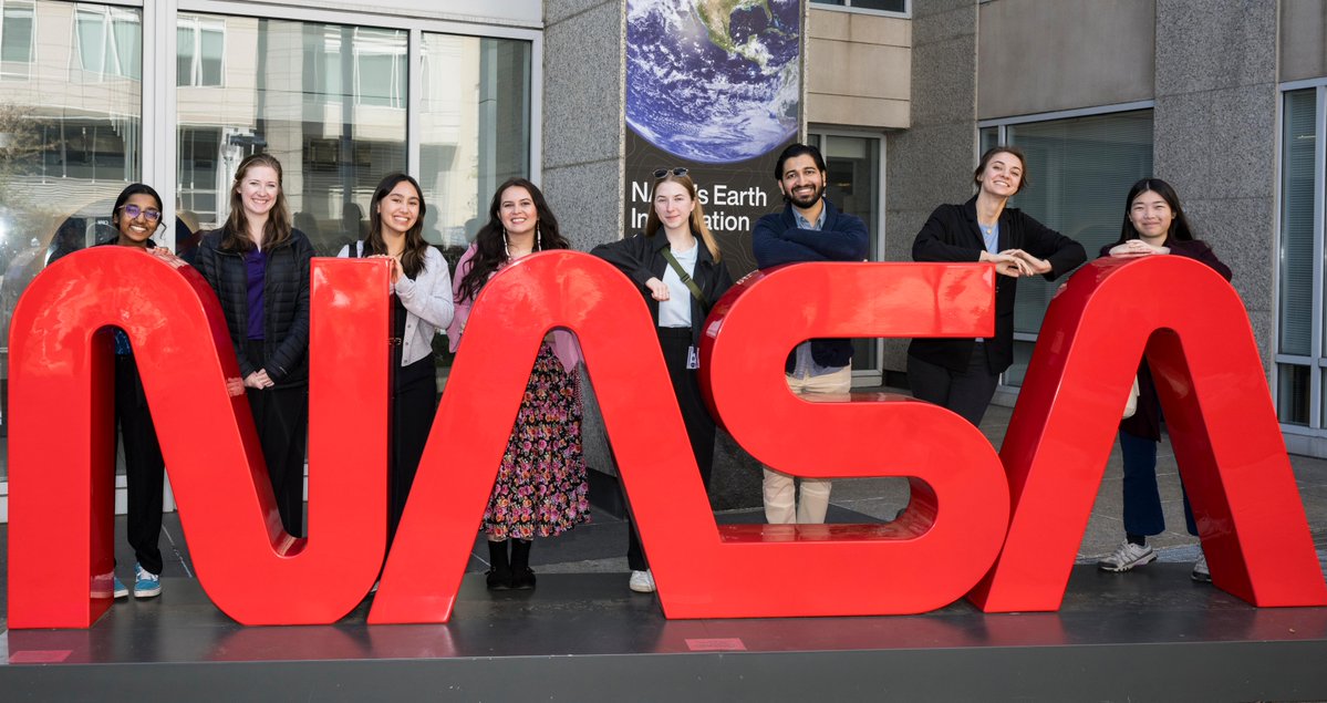
College students—want to spend this summer working at NASA?
Now’s your chance to gain out-of-this-world work experience alongside agency professionals as a NASA intern! Applications for the 2026 summer session close on Feb. 27. Explore our opportunities: https://t.co/xmq93hoBql
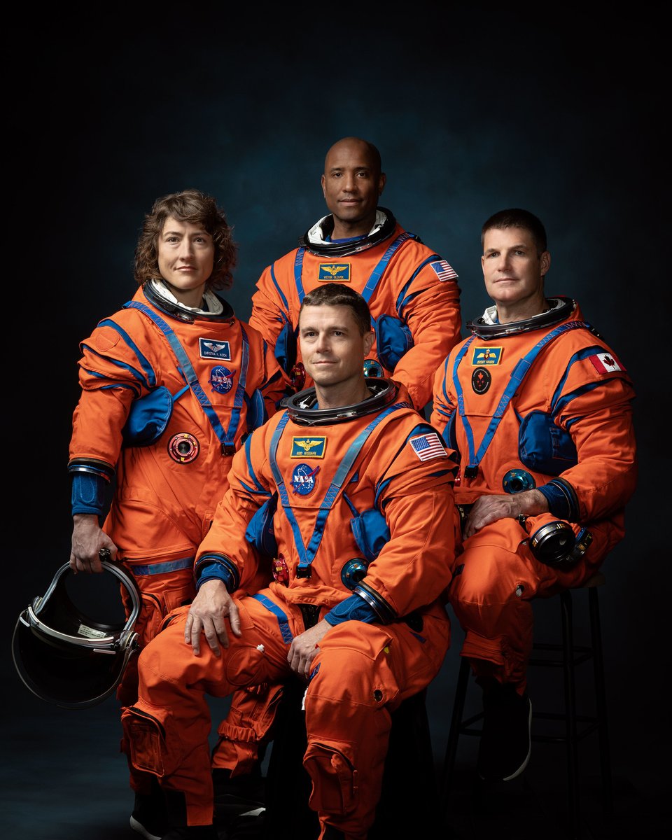
We are just weeks away from Artemis II, where we will send astronauts around the Moon—farther than any crew has traveled before.
The mission’s press kit is now available! Check it out: https://t.co/R3JaaG8lQU
If you're interested in the integration radar and optical data, check our new publication:
https://t.co/m3Z1oMpUG2
This work holds significant relevance for upcoming missions like #NISAR, which will provide freely accessible-analysis-ready L-band SAR imagery globally!
LIVE: We're launching an Earth-observing satellite with @ISRO to map surface changes in unprecedented detail. NISAR will help manage crops, monitor natural hazards, and track sea ice and glaciers.
Liftoff from India is scheduled for 8:10am ET (1210 UTC). https://t.co/M5cECyAAFg
NISAR Launches today!
We have been waiting for the high temporal availability of global L-band data, the time has come!
The science and applications these new datasets will enable will revolutionaze satellite remote sensing. It is truly exciting!
https://t.co/Tjon3jYrNY
McGill has been named the #1 university in Canada — and ranked 27th in the world — in the QS World University Rankings 2026. 🏆
This achievement belongs to every student, professor, researcher, and staff member who shapes McGill.
🔗 Read more: https://t.co/ljip8rcK2P
Our algal bloom forecasting system for Lake Atitlán continues to provide information. Thanks to NASA's Earth Observatory for featuring it:
https://t.co/JX241H13Ue
#NASA#EarthObservations
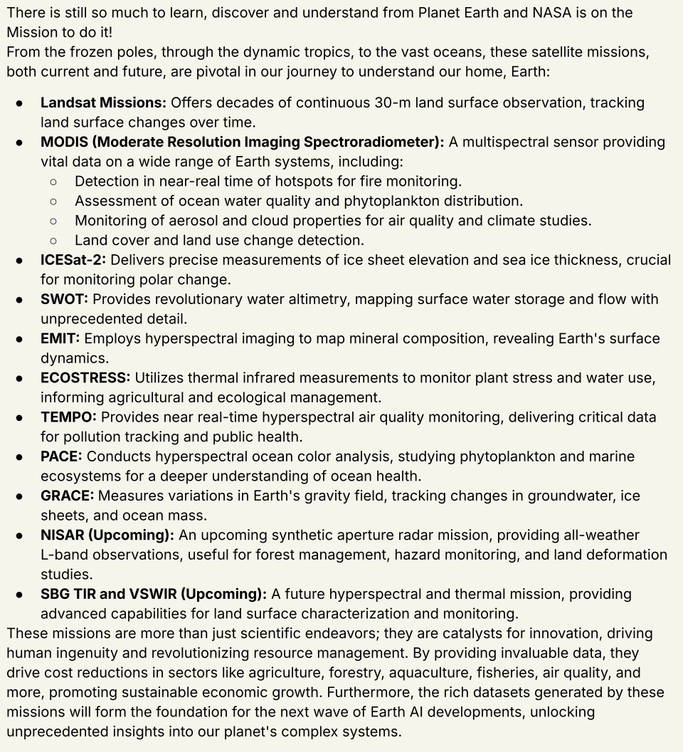
About #NASA Earth Satellite Missions, and the contribution to societal benefit and how they drive innovation:
BTW, there are more missions...running out of space here...
NASA’s #LPDAAC and the ASTER Science Team @NASAJPL announced a final data processing campaign that will make the entire ASTER data archive freely available and easily accessible to users around the globe.
➡️Learn what this means for data users: https://t.co/FNIDRZAM5C
Exciting NASA-funded postdoc opportunity at UF Geography! Join my research team investigating historical land use and fire regime dynamics using advanced satellite imagery. Apply by 2/15. https://t.co/fmRQmb49wW
Submit your abstract to #IGARSSS25
Synergistic Applications of VSWIR Hyperspectral and Thermal Infrared Data in Support of Future Earth Science Satellite Missions https://t.co/ChQwPFT6w2
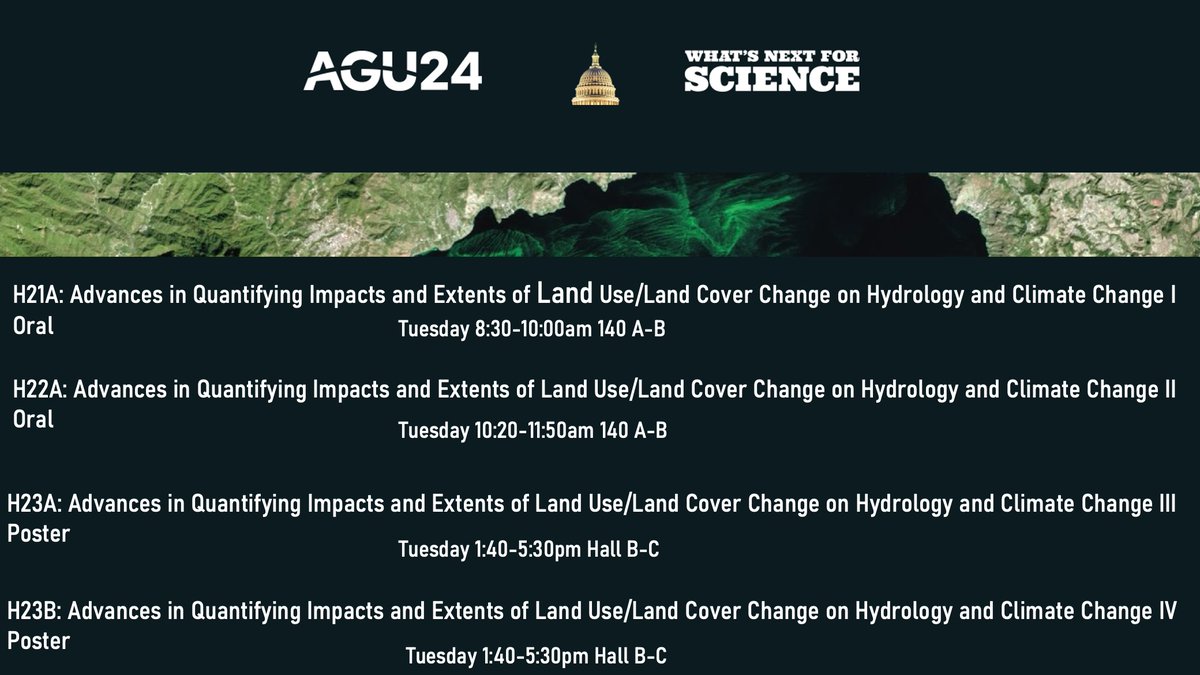
At #AGU24? Join us tomorrow bright and early for a marathon on Advances in Quantifying Impacts and Extents of Land Use/Land Cover Change on Hydrology and Climate Change ❗️
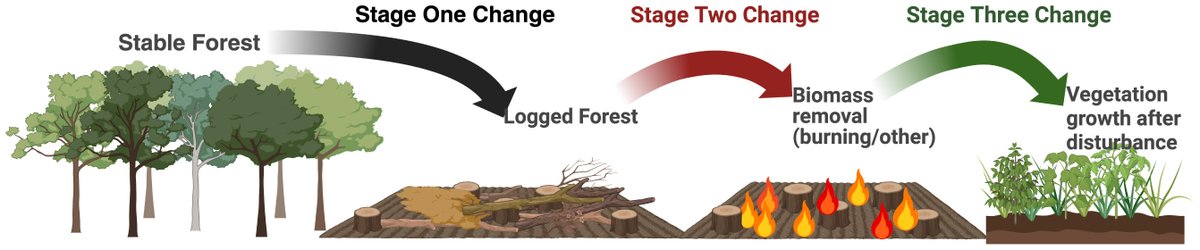
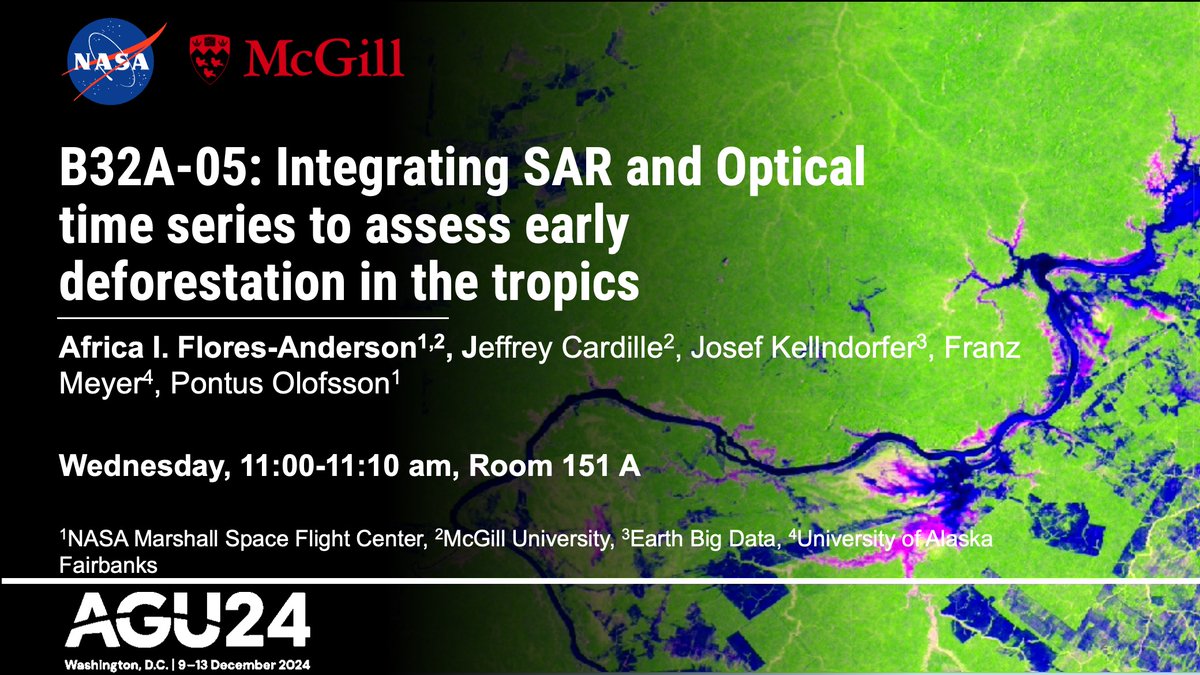
Are you #AGU24 and would like to learn how to combine SAR and optical data to monitor deforestation? Check out my talk on Wednesday!
https://t.co/ymwvuVriMo
#Advancing deforestation monitoring in the tropics 🌳🛰️ using remote sensing
Mark your calendars! Join @NASA, @WRIClimate, @SilvaCarbon_ and more at the upcoming #GFOI partner session for #AGU24 on land cover change and its impacts in #GreenHouseGas fluxes.
📅 12 December 2024
⏰ 13.40-17.30 GMT+1
📍 Washington, D.C., USA
🔗 https://t.co/DuaICznTHw