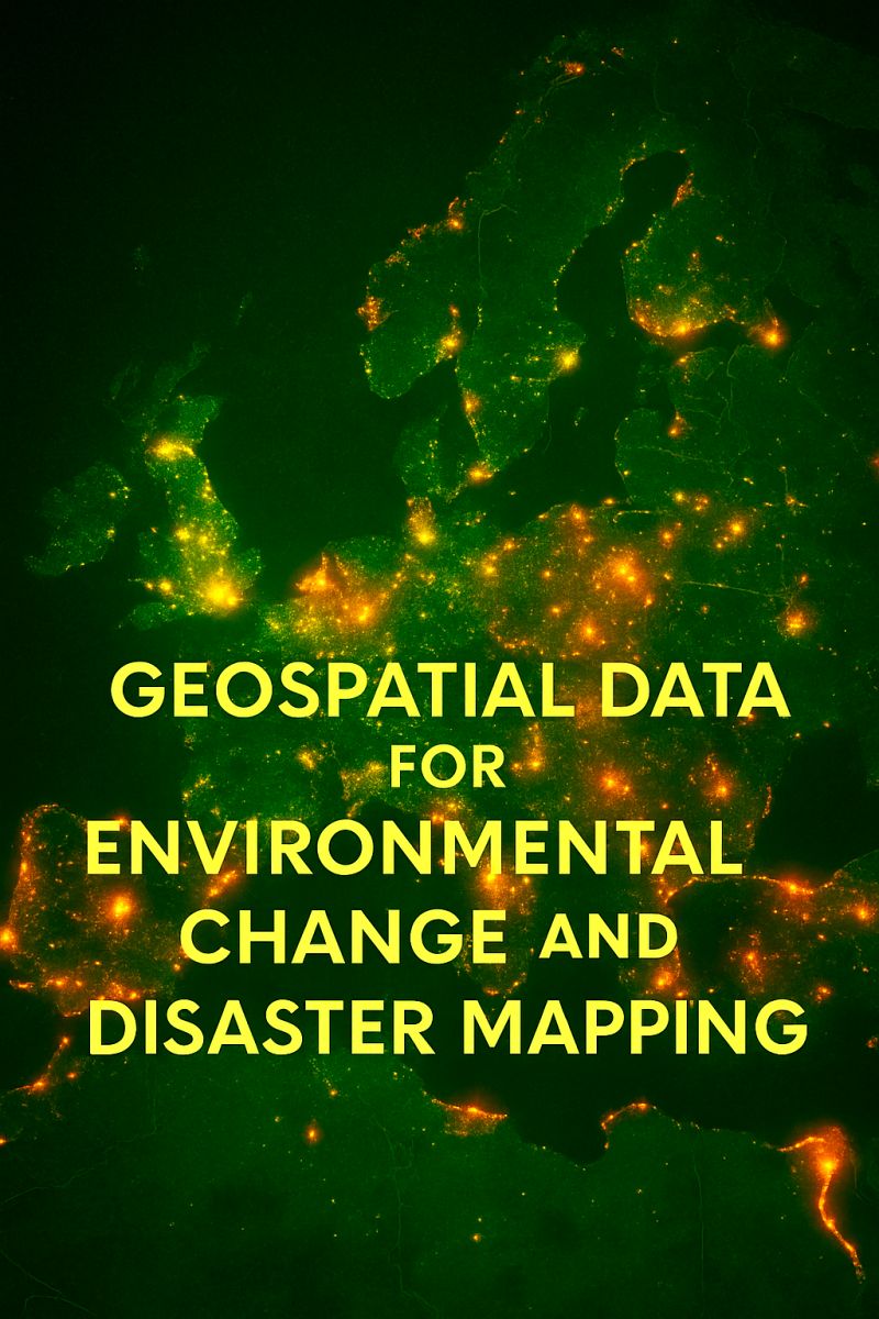
Geospatial data science has one of the best toolsets to tackle one of the greatest challenges of our time - environmental risks, from flash floods to wildfires, to deforestation and wildlife conservation.
From analyzing satellite images, training ML models, to do systhematric literature review over 100k papers, you will find plenty of inspiration a,,nd learning materials in the publications below:
𝐆𝐞𝐭 𝐬𝐭𝐚𝐫𝐭𝐞𝐝 𝐭𝐨𝐝𝐚𝐲: https://t.co/wkTOfUQdYA
𝐋𝐞𝐚𝐫𝐧 𝐦𝐨𝐫𝐞:
1. How Nepal Regenerated Its Forests between 1992–2016 - https://t.co/9DIQQIw9qO
2. Defining priority areas for blue whale conservation and investigating overlap with vessel traffic in Chilean Patagonia, using a fast-fitting movement model - https://t.co/5Zjuu2Mkmo
3. A Collaborative and Scalable Geospatial Data Set for Arctic Retrogressive Thaw Slumps with Data Standards - https://t.co/l8q6LDYhxM
4. Modeling Urban Air Quality Using Taxis as Sensors - https://t.co/uyVpDjrXyn
5. DeltaCAN – A new data set of Canadian Arctic and subarctic coastal deltas - https://t.co/13YncFpFLp
6. Optimizing survey conditions for Burmese python detection and removal using community science data - https://t.co/kARqIJfiY9
7. Analyze Tornado Data with Python and GeoPandas - https://t.co/sI0hYnxNJ3
8. Forest fires under the lens: needleleaf index – a novel tool for satellite image analysis - https://t.co/CSYSr8jPeK
9. Effectiveness of the world network of biosphere reserves in maintaining forest ecosystem functions -
10. A fire deficit persists across diverse North American forests despite recent increases in area burned -
....
𝐅𝐮𝐥𝐥 𝐥𝐢𝐬𝐭: https://t.co/ZUVb7wScEW
𝐓𝐡𝐞 𝐍𝐞𝐰 𝐒𝐜𝐢𝐞𝐧𝐜𝐞 𝐨𝐟 𝐌𝐚𝐩𝐬 - https://t.co/qRwV1ryEG1
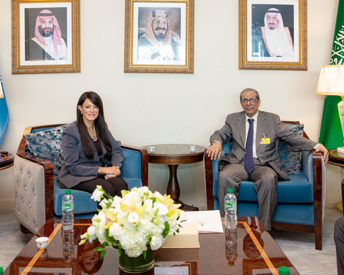
#نيويورك | سعادة وكيل وزارة الخارجية للشؤون الدولية المتعددة والمشرف العام على وكالة الوزارة لشؤون الاقتصاد والتنمية الدكتور #عبدالرحمن_الرسي يلتقي معالي وكيلة الأمين العام للأمم المتحدة والأمينة التنفيذية للجنة الاقتصادية والاجتماعية لغربي آسيا (الإسكوا) السيدة رانيا المشاط، وذلك على هامش أعمال الأسبوع رفيع المستوى للجمعية العامة للأمم المتحدة في دورتها الحادية والثمانين.
#المملكة_في_الأمم_المتحدة 🇸🇦
📢 Now available: 5 new Jupyter notebooks for the #C3S Climate Atlas. Computation of Potential EvapoTranspiration (PET) and Standardised Precipitation-Evapotranspiration Index (SPEI), demonstration of the Paris urban heat‑island analysis ⬇️
GeoLibre has a new Satellite Embeddings plugin!
Search, visualize, and download satellite embeddings using just a browser.
It supports AlphaEarth Foundations, Tessera, and EarthIndex. No installation, no account setup. Just a few clicks.
Try it out:
- GeoLibre Web: https://t.co/8gMtkVtfnm
- Docs: https://t.co/7VA2AQoCUc
- GitHub: https://t.co/VXq8c1o2Nd
#GIS #Geospatial #OpenSource #AI #WebGIS
As of Sept. 22, it's officially fall in the Northern Hemisphere…while spring begins in the Southern Hemisphere. 🍁 🌎 💐
That's the September equinox, when the Sun is directly above Earth's equator and day and night are close to equal in length around the world.
Google's new weather model cuts short-range temperature error by up to 40% at weather stations it never saw during training.
Every six hours, forecasters stitch millions of observations into one atmospheric analysis. Collecting the observations and publishing the result takes time, so by the moment a forecast can start, the newest starting picture is always between 6 and 12 hours stale. Almost every AI weather model built so far learns from and starts from those same pictures, so it inherits the delay and any errors baked into them.
Google DeepMind and Google Research have published the paper behind WeatherNext 3, which tries to get around both problems by reading observations directly.
The first fix is speed. Geostationary satellites photograph the planet continuously, and Google combines their feeds into an hourly global mosaic that arrives about an hour after capture. That's at least 5 hours fresher than the latest analysis. The model takes the last 12 satellite frames alongside the older analysis, so it can produce a new 15-day forecast every hour instead of every six. For rain in the first hours, that's worth 2 to 3 hours of extra warning.
The second fix is what the model learns to predict. Rather than copying the analysis's rain estimates, which are known to be biased, it's trained against satellite-derived rainfall, including a new Google product built from space-borne radar. Compared with WeatherNext 2 and the European Centre's physics-based ensemble, early rain forecast error falls by up to 60% against satellite rainfall, 30% against US ground radar and 10% against rain gauges. The 60% needs a caveat: the model was also trained to predict that satellite product, so it isn't a fully independent test. Its rain probabilities also match how often it actually rains more closely, where earlier models tended to be overconfident.
The third fix is probably my favourite. Temperature forecasts usually live on a grid, then get corrected against real thermometers in a separate step. WeatherNext 3 learns from roughly 5,000 airport stations, around 15,000 regional stations and thousands of ship and buoy readings every hour, and can then predict temperature and humidity at any point on Earth using its elevation and whether it's land or sea. The researchers held out 5% of stations during training, and on those unseen stations, short-range temperature error drops by up to 30% against WeatherNext 2 and 40% against the European Centre's physics-based ensemble.
Station coverage is thin in places like the Andes and the Himalayas, so the team filled gaps with 2,000 made-up "pseudo-stations" per hour drawn from the analysis. Individual forecast runs also show hexagonal patterns from the model's internal grid and jumps at six-hour boundaries, although averages across the 64 runs are largely clean.
A roughly 5% gain on upper-air variables over WeatherNext 2 is worth about 6 extra hours of useful lead time. Forecast skill traditionally improved by about a day per decade, so finding a quarter of a day in the year or so since WeatherNext 2 is quick progress. In a six-week live test this summer, it beat the European Centre's AI ensemble by around 10% on upper-level variables in the first week.
The traditional pipeline had three separate stages: build the analysis, run the forecast, then correct it against stations. This model folds much of that into one system that can learn from satellites and thermometers directly.
link to full article: https://t.co/yXdLxwPg3T
101 خطوة عملية لبناء GeoAI من الصفر! كتاب "GeoAI 101" يعلّمك PyTorch خطوة بخطوة: من U-Net وCNN لاكتشاف التغيرات، حتى بناء وكيل ذكاء اصطناعي مكاني يحاورك. 460 صفحة و14 دفتر Jupyter مع بيانات حقيقية. عيّنة مجانية 👇
https://t.co/XnVS3AcAPq
ما تقوم به ميليشيا الحوثي من تكثيف الاستهداف لمدن المملكة وإصابة المدنيين والمنشآت الاقتصادية والمدنية هو أقصى حدود الرعونة لأنها لا تفهم كيف تبني الدول سياسياً وقانونياً ملفات الدفاع عن مقدراتها أولاً، ثم تتحرك عسكرياً. الصواريخ الحوثية/الإيرانية لا تمثل شيئاً أمام القوات السعودية المتطورة، التي ستتحرك في التوقيت المناسب
10,000 OPENAI AGENTS SOLVED A $1 MILLION PROBLEM IN 88 HOURS
For nearly 90 years, mathematicians could not determine whether the Navier-Stokes equations can break down while describing fluid motion.
-> Now OpenAI says it has found the answer.
The company deployed around 10,000 agents powered by an internal model significantly more capable than GPT-6 Astra.
They worked in parallel, exchanged 2.7 million messages and generated roughly 130 billion output tokens.
The digital team produced a proof in 88 hours.
The system showed that an initially motionless fluid can develop a singularity under certain conditions. Its velocity grows without bound within a finite amount of time.
GPT-6 Astra then spent another 17 hours formalizing and verifying the result in Lean.
The computation cost millions of dollars, but the company does not plan to claim the prize.
The proof must also survive independent scrutiny from mathematicians.
OpenAI just demonstrated a new model for scientific discovery.
A single AI is no longer trying to replace one scientist.
Thousands of agents can now form a digital research lab and compress decades of human work into days ↓
We’re sharing a solution to the Navier-Stokes Millennium Prize Problem, one of the deepest problems at the frontier of mathematics.
The proof was produced by a group of agents, using an OpenAI next-generation model significantly more capable than GPT-6 Astra.
The problem concerns whether the description of smooth three-dimensional fluid motion modeled by the Navier-Stokes equations can break down. It has remained unresolved for roughly 90 years.