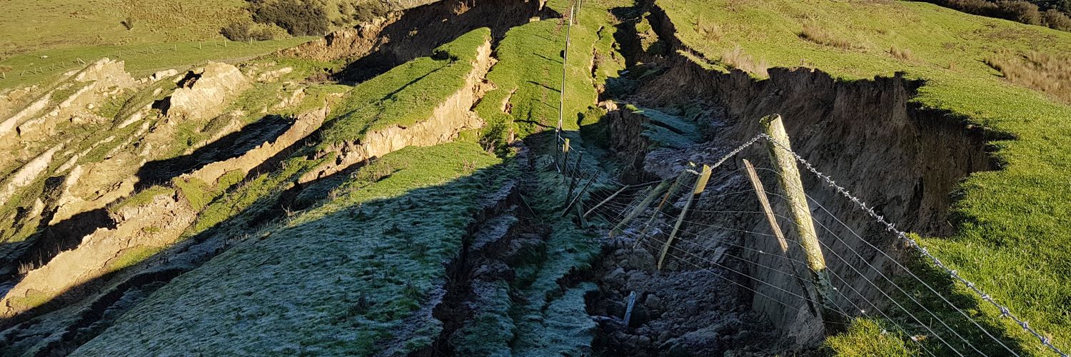
Our paper comparing methods of landslide data acquisition and susceptibility modelling is now out in Geomorphology, looking at semi-automated vs manual mapping, machine learning vs linear regression, and event vs multi-temporal datasets
https://t.co/wpwJ7XWro7
@DrHGSmith @mwlr_nz
Our new #openaccess paper in #geomorphology uses high resolution rain radar to explore the #spatial relationship between rainfall and shallow #landslides in New Zealand.
https://t.co/AtKWHLcECy
It was a pleasure to catch up with our New Zealand friends from @mwlr_nz at the #EGU23 to discuss the progress of the STEC (Smarter Targeting of #Erosion Control) project and to socialise after work!
@Z_GIS1@AndrewNeverman@loreabad6
We're looking for a #geomorphologist interested in #erosion and #sediment processes and mitigation, with skills ranging from field-based data collection to #spatial numerical #modelling, to join our erosion team at @mwlr_nz in Palmerston North
https://t.co/Lp2FLhetae
The latest news from our Smarter Targeting of Erosion Control (STEC) research programme, including updates to our work using rain radar to understand shallow landslide occurrence
https://t.co/jKMrOExI08
#erosion#landslide#rainradar
Really excited to announce the release of my article "Intersection of fluvial incision and weak geologic structures cause divergence from a universal threshold slope model of landslide occurrence"! Access it for free for the next 50 days here: https://t.co/G3CjJXyNeY
It was great to get out in the field for our first survey with the new Phantom 4 RTK. Using our Trimble R10-2 base station we had std devs between 1.5 - 3 cm H and 2.2 - 4 cm V. Looking forward to processing the SfM model and seeing how few GCPs we need to deploy now.
Significant nationwide updates to S-Map, the digital #soil map for NZ. Latest release includes access to soil hydrological properties, soil chemistry (pH, C, P), and to land management tools. Richer soils data, better modelling, better decision-making
https://t.co/YOaH1X8Rkj
Just published in RRA early view: https://t.co/bza2PZLVYp
Trying to make geomorphology useful and accessible for river practitioners to make the right decisions in river restoration - understand what we've come from so we know what to get back to.
Visitied the Haunui research catchment yesterday, but wasn't prepared to be driving through snow! Luckily it stopped snowing and the sun came so I could carry out upgrades to the earthflow telemetry system. Releived to see the data being sent consistently back at the office.