THEORY THREAD | What happened in Pensacola, Florida during Hurricane #Isaias.
The strongest winds in a tropical cyclone is typically seen in the NE Quadrant of the cyclone. However, Isaias strongest winds near landfall occurred in the NW & SW quadrants. So what happened?
⛈️ WEATHER WHIPLASH 🥶💨
A strong cold front looks to make its way across the Northeast Friday afternoon and evening (10/16/2026), bringing an unusual severe weather setup for mid-October.
Behind it, some areas may see the first flakes of the season, with the coldest air mass impacting our area since April! A reminder that winter is just around the corner!
Here’s Joe with the latest. #weather #forecast #snow #storm #severeweather
Tracking Severe Weather ⚡
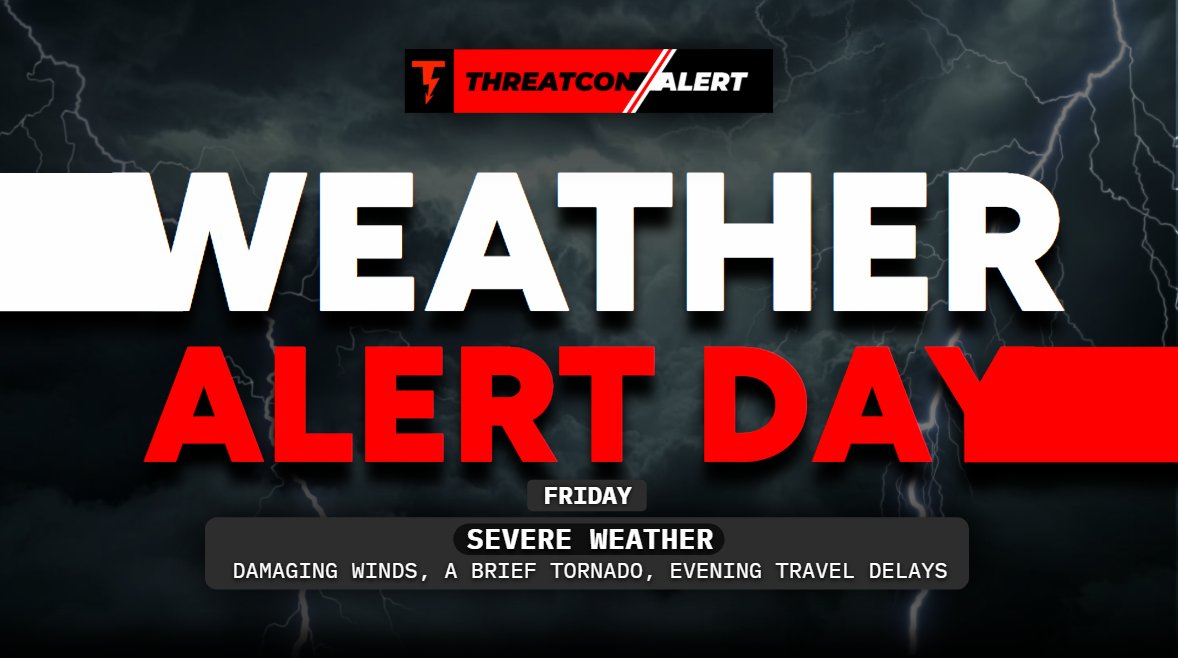
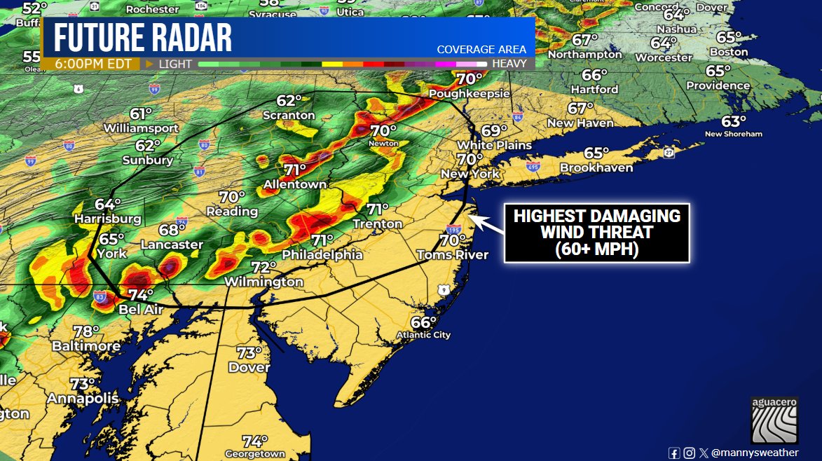
A squall line will develop along a cold front Friday afternoon. With a sufficient environment in place, damaging winds (60+ mph) are the main concern, and a brief tornado can't be ruled out. Stay Tuned!
#NJwx#PAwx#NYwx#MDwx#severewx#wxtwitter
A Civil Emergency Message is in effect for all of Los Angeles County in California, due to the threat of fast spreading wildfires.
Dangerous Red Flag conditions will result in fires spreading very quickly. If you feel unsafe near a fire, leave ASAP, do not wait for official guidance or evacuations orders.
🚨Severe Weather Update 🚨
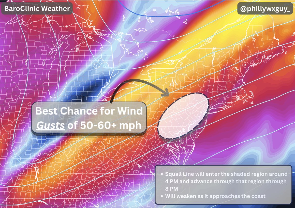
As a cold front approaches tomorrow, a squall line will develop and bring some gusty winds along with it. The highlighted region has the greatest chance to see wind gusts upwards of 60+ mph (not everyone will, but this area has the highest chance)
1/3
Friday 10/16 is a classic low CAPE, high shear setup which is common in the Northeast and during cool season. This favors a fast moving QLCS with enough horizontal rotation to produce a couple supercells.
Mainly looking at damaging winds but an isolated tornado or two is possible
Scattered damaging wind gusts are possible across portions of the Northeast tomorrow (Fri, Oct 16).
A thin line of storms will move quickly eastward, capable of 40-60mph wind gusts, with a brief tornado not being ruled out.
Solid severe weather threat for tomorrow. This will be provided by an amplified cold front right ahead of a positively tilted trough! SPC is going with a 30% unhatched risk.
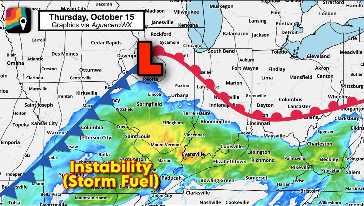
If I was chasing, I'd be in Mt. Vernon, Illinois at the highway intersection and having a Casey's chicken sandwich.
Differential heating/outflow boundary nearby, a bit more solar heating/instability (storm fuel), and solid wind shear. Probably a tornado within 50 miles.