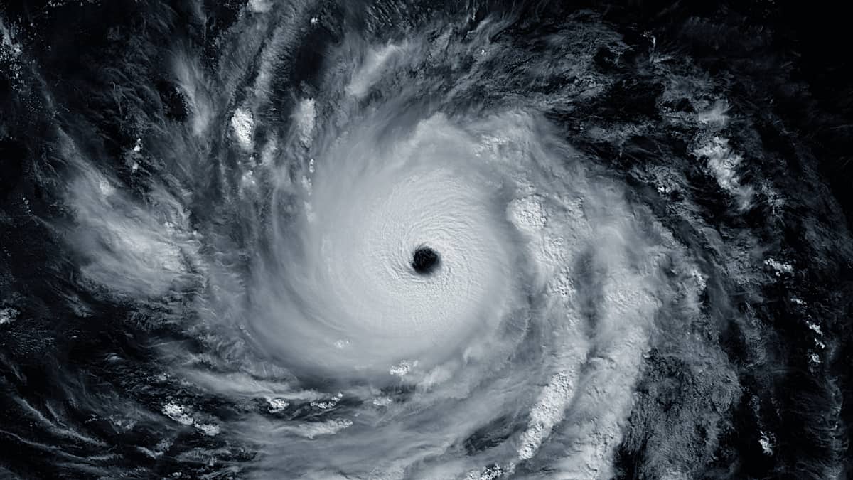
Experience the power of Typhoon Man-yi (Super Typhoon Pepito), a record-breaking #Cyclone in Nov 2024.🌪️ Satellite imagery and an animation take you straight into its eye! Explore detailed data and visuals in our latest #BCEarthGallery blog post! 🌊
👉 https://t.co/8W8p5ybJOg
#Volcano Lewotobi Laki-Laki on Flores Island, Indonesia 🌋 Explosive activity since early Nov peaked with a major blast on Nov 8, captured by Sentinel-3. Pyroclastic flows, ash clouds, and lava have disrupted lives and infrastructure.
Visit https://t.co/kEX9kt4ZFI
#BCEarthGallery
Our 200th post in the Satellite #BCEarthGallery!
👉 https://t.co/6ztypvdoPP
Over the years, we’ve showcased fascinating events, phenomena, and natural or man-made features from Earth’s surface and atmosphere. This map shows the places that caught our eye in the last 200 posts!
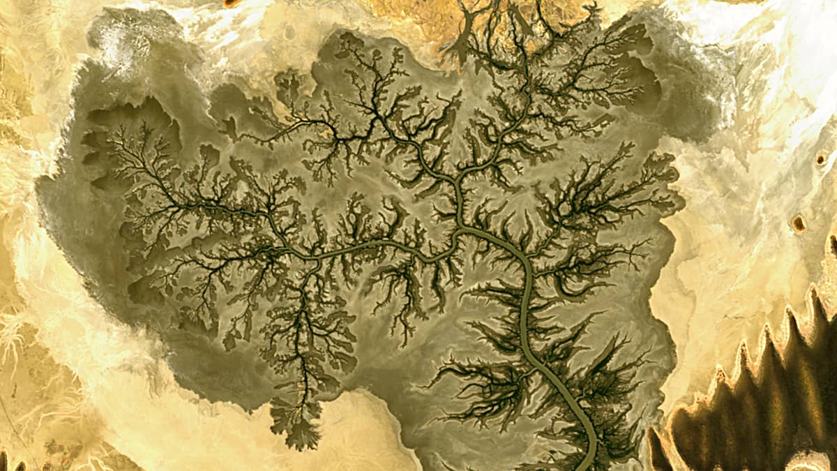
Explore the stunning fractal delta of Australia’s Fraser River, where tides sculpt a tree-like structure in King Sound! 🌊🌳 See it shift from bare branches to leafy growth in our new post, with images & an animation spanning half a year! #BCEarthGallery
👉https://t.co/ULwLqShN2x
Rare heavy rains in southern Morocco in September 2024 filled Lake Iriqui for the first time in 50+ years. A new reservoir formed in Wadi Tighzert, and ancient rock art suggests a much wetter climate thousands of years ago. Read more here: https://t.co/4tv4E0nLPT
#BCEarthGallery
🚀 Join our ESA GDA mid-term webinar!
📅 4 Dec | 13:00 CET
✅ Celebrate 124 EOIDs, 68 projects, 65 countries
✅ Insights from the 2024 mid-term eval. by @caribou_space
✅ Learn how to mainstream EO solutions w/ IFIs
👉 Register: https://t.co/JMiL7hBBUM
#AcceleratingImpact
This NASA visualization shows the CO2 emitted into the earth's atmosphere + clarifies who is responsible for the climate crisis: we, the Global North.
There is not time to wait. #ActOnClimate#climate#energy#renewables
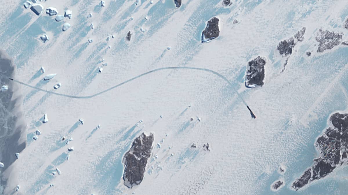
Explore the frozen path of RSV Nuyina, Australia’s icebreaker, in the Antarctic! 🚢❄️ Sentinel-2 captures its track to Davis Station in the Vestfold Hills. See Sentinel-2’s view of this icy expedition and learn about the ship’s journey! 👉 https://t.co/JBtbF1DltV
#BCEarthGallery
Today we explore the Waimakariri River’s journey from New Zealand’s Southern Alps to Pegasus Bay. Discover unique sediment plumes —rare double formations & pulsating patterns— observed via 11 years of Landsat & Sentinel-2 data. #BCEarthGallery📡
Dive in: https://t.co/pz94wLRnMd
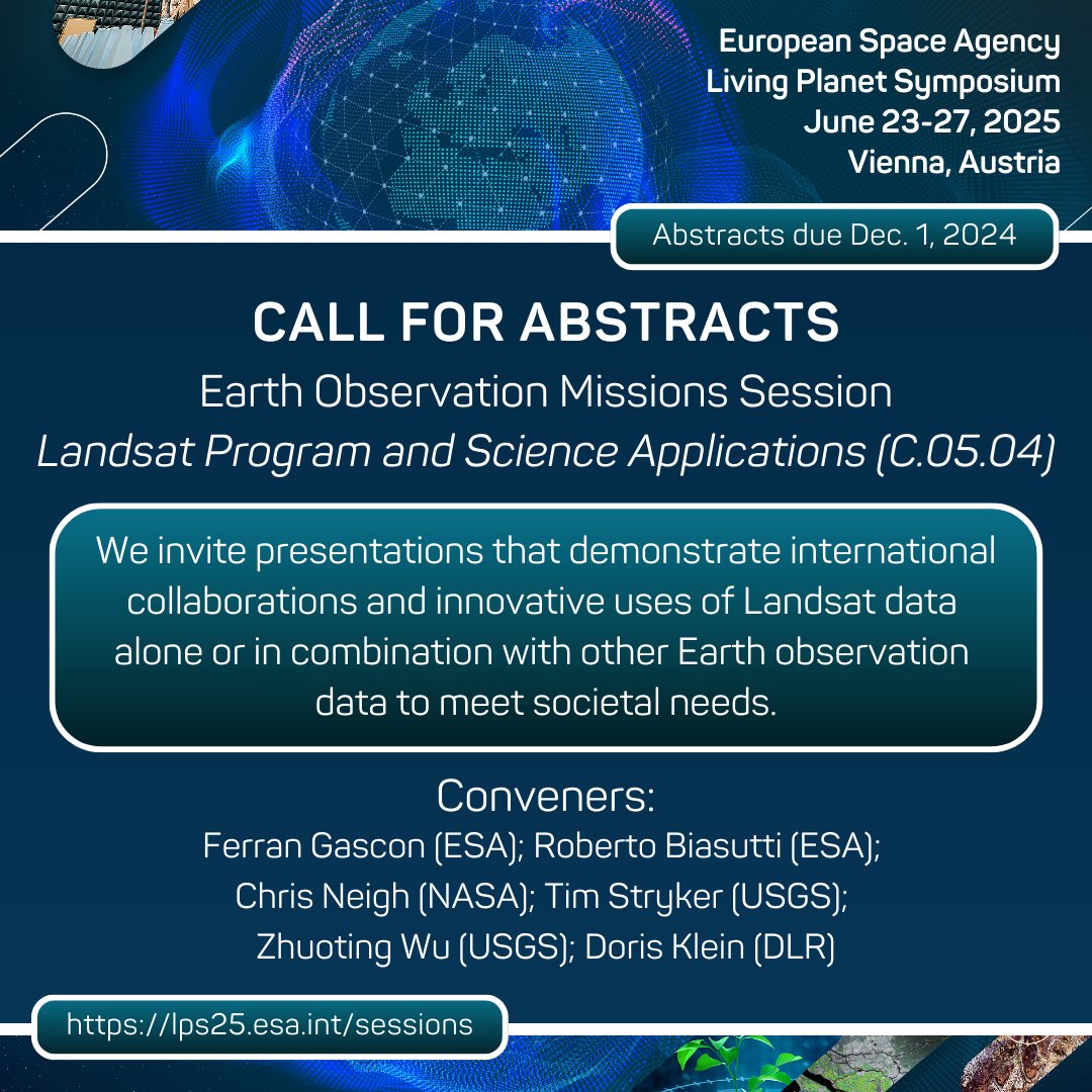
The next @esa Living Planet Symposium is set for June 23-27, 2025, in Vienna, Austria. Call for abstracts are open! Consider submitting an abstract under Session C.05.04 – Landsat Program and Science Applications. Learn more here: https://t.co/UotyX23b3n
#LPS25#Landsat
As the Arctic warms faster than the rest of the planet, permafrost in that region is thawing and releasing carbon dioxide and methane.
A new international study shows the thawing permafrost has been a net contributor to global warming in recent decades.
https://t.co/yCZG64q4YK
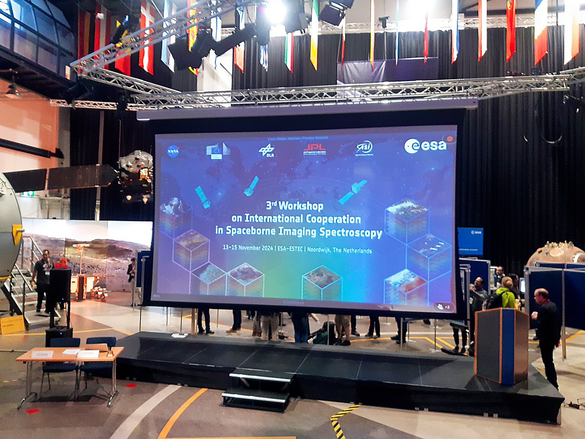
🌍 Major advancements in #RemoteSensing are underway at the ESTEC workshop, Nov 13-15! Carsten Brockmann and Grit Kirches present their poster on atmospheric correction for hyperspectral data. The event brings global experts together to push imaging spectroscopy forward.
Ever seen clouds swirl like this? Learn about Karman vortices and how these stunning patterns form around the volcanoes of the Uniiĝun Islands in the Aleutian Arc! Visit our new #BCEarthGallery blog post:
👉 https://t.co/XDX3GgqXf7
Did you know can you assess #water quality from space?🌍💧 Check out the upgraded #CLMS Global #Lake Water Quality products! As of September 2024, Version 2 is available in 300m and 100m resolutions!
More info here: https://t.co/H42ZH2ncNf
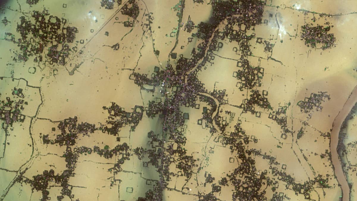
🌧️ As severe floods grip Spain, our latest #BCEarthGallery blog post examines “Deep Depression BOB 05” and its impact on West Bengal, India. Sentinel-2 images reveal a 500 km² flooded area around the Mundeswari & Dwarakeswar Rivers. Discover more here:
👉 https://t.co/OvSxMIOc5S
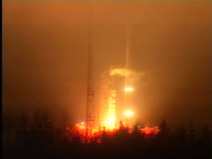
#OTD 1⃣5⃣ years ago: 2 November 2009, a joint launch of 2 #ESA missions on one rocket: the @ESA_Tech#Proba-2 technology demonstrator & the Soil Moisture and Ocean Salinity Satellite #SMOS 🚀🛰️🛰️
@ESA_EO
🔗https://t.co/i39RUIG1F2 & https://t.co/nQrQ88LZNL
Soil moisture anomalies, biomass changes, drought index, hurricane wind speeds: over the course of its long mission, @esa's SMOS satellite has delivered data on tons of different variables.
SMOS was launched on 2 November 2009: happy launch day!
On Germany’s northern coast, the rising levels of the North Sea pose a threat to nearby communities and ecosystems.
In the village of Harlesiel, as in many places along the shore, sea dikes are being built to protect the area from coastal erosion.
https://t.co/a7rytkpB4j