Center for Advanced Land Management Information Technologies (CALMIT) - a leader in remote sensing research & applications for ag. & natural resource since 1972
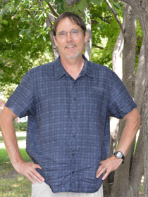
Congratulations to Dr. John Gamon on his retirement from @CALMIT_UNL and @SNR on July 1st. John will be an emeritus faculty member for CALMIT and continue work with the Center's remote sensing program.
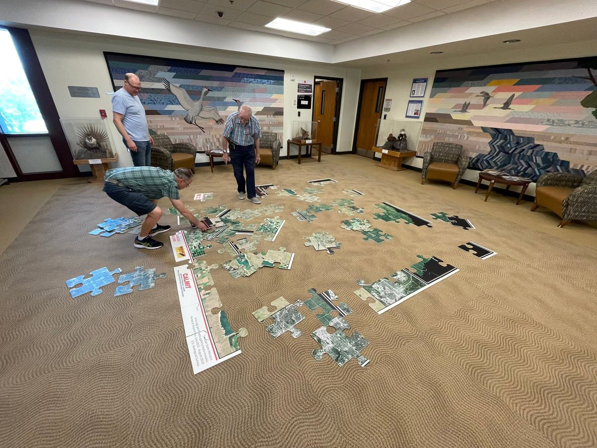
The Nebraska satellite image puzzles have arrived & are a great learning tool to promote the state's geography and natural resources. Thanks to @NebraskaClimate, @CALMIT_UNL, @SNR for supporting this effort. Puzzles are available for outreach & educational events.
@UNL_IANR
Congrats to Dr. Hugh Ellerman, a post-doctoral researcher @CALMIT_UNL, for receiving the 2026 UNL Postdoctoral Excellence Award. Job well done!
@UNLSNR@UNL_IANR
Great work by @CALMIT_UNL graduate student, Catherine Chan, studying grasslands in the Sandhills using advanced remote sensing techniques.
@UNLSNR@UNL_IANR@UNLresearch
https://t.co/XK14ZJWWMK
NASA in town for Harnessing the Heartland workshop. Participants from @UNLincoln@UNL_IANR@UNLSNR and from Oklahoma to Wisconsin. Can we coordinate our data collection efforts in innovative ways?
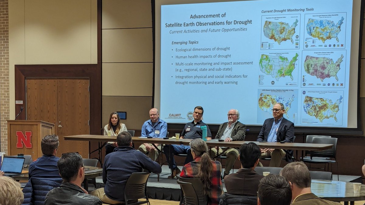
@BrianDWardlow & John Gamon of @CALMIT_UNL presenting the Center's drought, airborne remote sensing and ecological research activities at the Harnessing the Heartland conference with NASA, @unmc, @waterforfood & @UNLSNR.
New article published by John Gamon of @CALMIT_UNL looking at the linkage between biodiversity, ecosystems & carbon & perspectives on ecological opportunities for C sequestration.
@UNLSNR@UNL_IANR@UNLresearch
https://t.co/MSnfX9ZVSy
CALMIT's airborne hyperspectral imagery over Indian Cave State Park is available through the NASA LP DAAC. CALMIT is applying these observations to better understand plant function, stress response & biodiversity of forests.
@snr @UNL_IANR@UNLresearch
https://t.co/OUXRPvfver
@CALMIT_UNL's NebraskaView program was awarded the USGS' PECORA Award as part of the national AmericaView program. It recognizes efforts that advance the use of satellite r.s. to better understand & educate society about the changing Earth.
@BrianDWardlow@UNLSNR@UNL_IANR
@CALMIT_UNL's urban forest mapping project in collaboration with the city of Lincoln and NET was highlighted on this month's USGS Eyes on Earth Podcast as part of the Center's role with the national AmericaView program.
https://t.co/69w4vHkWGp
@UNLSNR@UNL_IANR@UNLresearch
@CALMIT_UNL is proud to be a member of the @AmericaView consortium helping to advance the use of remote sensing imagery to document, understand & tell the story of global environmental change. A great day of learning at day 2 of AV annual meeting.
@UNLSNR@UNL_IANR@UNLresearch
NebraskaView & @CALMIT_UNL at the @AmericaView Annual Meeting in Lafayette, LA. NEView is a charter member of the national AV program & has worked to advance the practical use of satellite remote sensing within Nebraska for 20 years.
@UNLSNR@UNL_IANR@UNLresearch
Contrasting photoprotective responses of forest trees revealed using PRI light responses sampled with airborne imaging spectrometry
Gamon et al. @ForestGEO@UNLsbs@UNL_PSI@CALMIT_UNL
📖https://t.co/tRHKXB9x8o
Happy Statehood Day for Nebraska!!!
Below is the first statewide land cover/land use map generated from satellite-based ERTS (Landsat) imagery in 1973 by CALMIT. 🛰️🗺️
@UNLSNR@UNL_IANR@UNLresearch
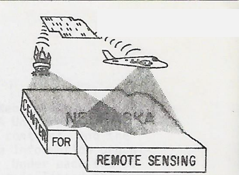
In honor of CALMITs 50th anniversary as global leader in remote sensing science, innovation & application in ag & natural resources, key contributions will be featured in Throwback Thursday spotlights. First up, founding of CALMIT as the Nebraska Center for Remote Sensing in 1973
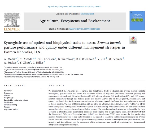
New publication @TasosMazis et al. on the analysis of remote sensing & biophysical traits to assess pasture performance under different management practices. @CALMIT_UNL@UNL_IANR@UNLSNR @NebENREC
https://t.co/Rsq1YO98CX
A composite #drought indicator makes it possible to monitor conditions even in data-scarce regions. “It’s about using whatever resources and data a country has access to that they trust."
Learn more about our efforts to develop CDIs for southern Africa: https://t.co/N386f1rZC9
A composite #drought indicator makes it possible to monitor conditions even in data-scarce regions. “It’s about using whatever resources and data a country has access to that they trust."
Learn more about our efforts to develop CDIs for southern Africa: https://t.co/N386f1rZC9