Thunderstorms were moving northward over the Sacramento region. Thunderstorms will contain hail up to half an inch and heavy rain. The heaviest rain will be over Folsom, Granite Bay and Rocklin. #CAwx
Someone let Dave Bender near the monster trucks at the #castatefair, so he decided to do a live weather forecast.
This is the face of a man in his element.
WATCH: https://t.co/xU75VCK4Ky
We're sampling some of the finest food the @CAStateFair has to offer, whether it's wrapped in bacon or surrounded by a doughnut. #castatefair
FULL VIDEO: https://t.co/AnpxQNThuy
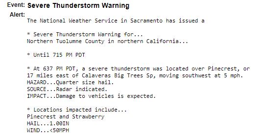
SEVERE THUNDERSTORM WARNING
Issued for Tuolumne County
Through 7:15 p.m.
Storm located over Pinecreast, 17 miles E of Calaveras Big Trees, moving SW.
https://t.co/NBQe9tM7BS
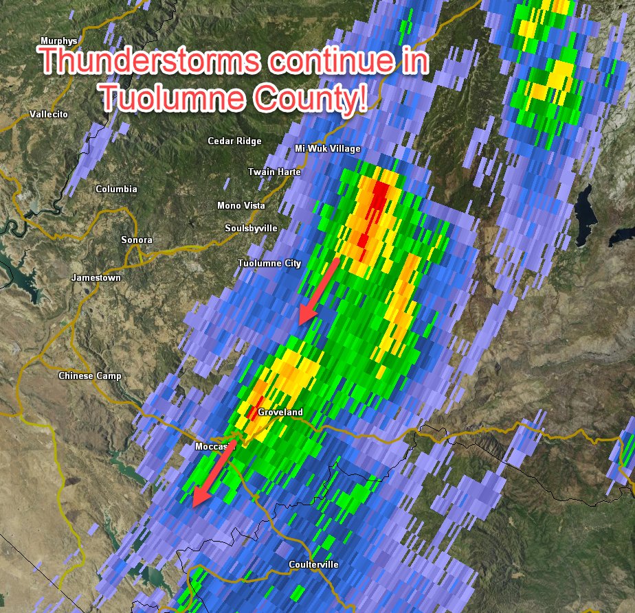
At 5:40 om Thunderstorms continue over portions of Tuolumne County between Mi-Wuk Village and highway 120 near Groveland. Expect small hail and brief heavy rainfall. #CAwx
Cosumnes River at Michigan Bar is predicted to reach the 7.0 foot monitor stage around 3 a.m. on Thursday morning and later reach flood stage of 12 feet around 8 p.m. Thursday night. Follow at https://t.co/et4IO3ufDc . https://t.co/Qvfr3NVsi3
At 9:45 pm: A line on thunderstorms over parts of western and central Shasta County is producing hail up to half and inch and very heavy rainfall. Localized flooding will be possible. #CAwx#CAstorm
Even a weak tornado shouldn't be taken lightly.
"Anything can become an airborne missile and can be dangerous, especially if you're outside exposed to it."
https://t.co/o1kZcxpSwu
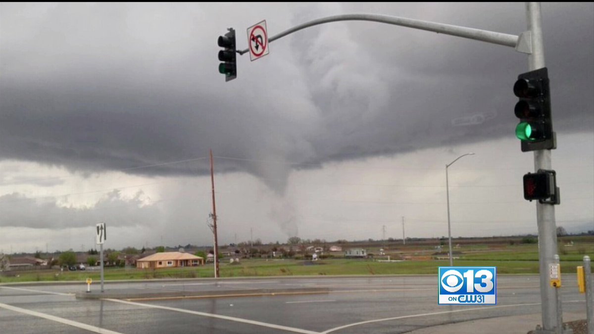
ICYMI: Yuba County tornado warning allowed to expire, but not before storm spawns tornado #cawx
(Photo courtesy @SacWeatherPix)
https://t.co/RZdOFEmkNw
5:50 pm: A line of strong thunderstorms has developed across the valley. Dime sized hail, frequent lightning, & funnel clouds are possible with this storm. Have reports? We'd love to see them! #CAwx