The official Twitter page for the Sac Co. Dept of Water Resources. This site will be for timely, accurate public information and not political purposes.
Sacramento County is updating its Local Hazard Mitigation Plan (LHMP) to reduce risks from floods, droughts, and other natural hazards. We need your input! Go to https://t.co/63Bz4LnFim to learn how to get involved.
We're protecting our water supply by checking for mussels weekly through inspections & collecting samples at our Sacramento River intake system. Samples are sent to California Department of Fish & Wildlife to be analyzed for the DNA of golden mussels. So far, no infestation.
Golden mussels pose a serious and fast-growing threat to California’s water infrastructure and require a sustained and coordinated response. DWR is deploying a comprehensive strategy with our partners to mitigate the impact of golden mussel infestation and prevent further colonization. By combining science, engineering, prevention, and collaboration, we are working to slow the spread of golden mussels, protect California’s water infrastructure, and maintain reliable water deliveries for the millions of Californians and hundreds of thousands of acres of farmland.
Learn more about these critical strategies at
https://t.co/HL1QEVTZd9
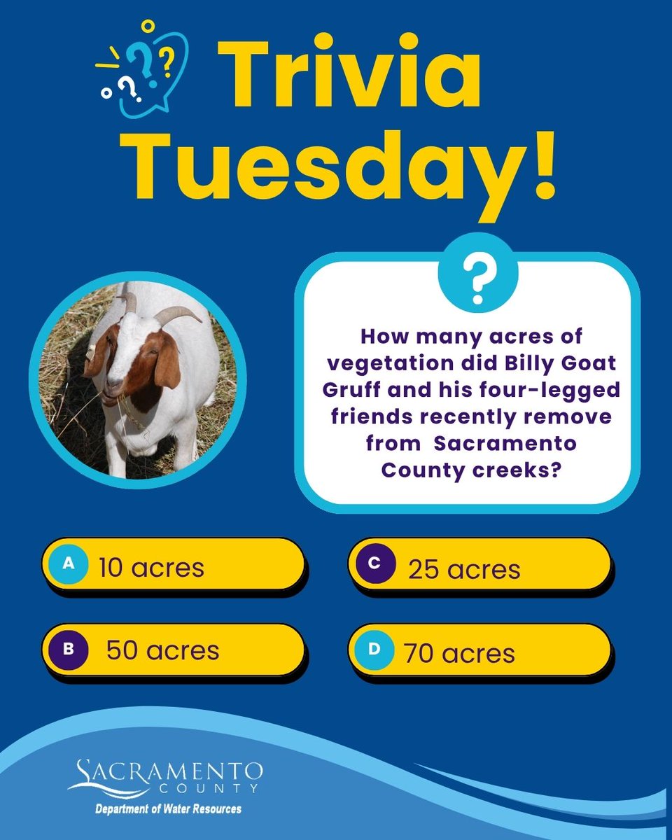
It's Trivia Tuesday! Billy Goat Gruff and his four-legged friends have been munching their way through Sacramento County creeks. How many acres of vegetation did they remove from local creeks? We'll share the answer by the end of the day!
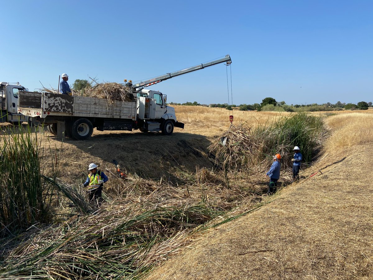
Flood protection starts long before the rain. Our Storm Crews work year-round to keep creeks and channels flowing freely, helping to reduce flood risk. Learn more: https://t.co/z8pdIw1dri
As you enjoy the sunshine with your furry friends, please remember to pick up after your pet. Waste left behind can pollute our waterways. Let’s keep our trails, parks, and waterways clean and healthy for everyone this spring and summer.
#ScoopThePoop#CleanWater
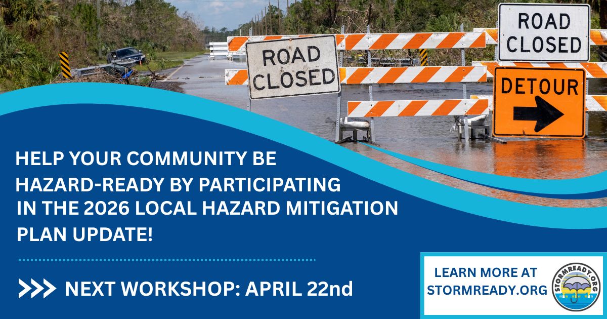
Join Sacramento County and partnering cities on April 22 to discuss the 2026 Local Hazard Mitigation Plan. Learn about risks—floods, drought, wildfires & extreme weather—and share input to strengthen community resilience. For more info, visit https://t.co/63Bz4LnFim
SacDOT has closed the following roads due to flooding.
Cherry Ln. from Elkhorn Blvd to Curved Bridge Rd
Curved Bridge Rd from Dry Creek Rd to Oak Ln
Call 311 if you see flooded roads. Turn around don't drown.
D-15 Natomas East Main Drainage Canal (downstream) at Dry Creek has reached monitor stage at 31.30 ft. Flood stage is 40.50 ft. Follow at https://t.co/ii6nsauED7
SacDOT has closed the following road due to flooding.
* Sorento Rd * between Elverta Rd & Rio Linda Rd
*Kiefer Blvd* between Jackson Rd. (HWY 16) to Kiefer Landfill
*Scott Rd* between Boys Ranch Rd and Latrobe Rd.
Call 311 if you see flooded roads. Turn around don't drown.
Thanks to the @sacsheriff hundreds of filled sandbags are available at our Branch Center location. 3847 Branch Center Rd. Come and get them while they last. 20 bags per visit.