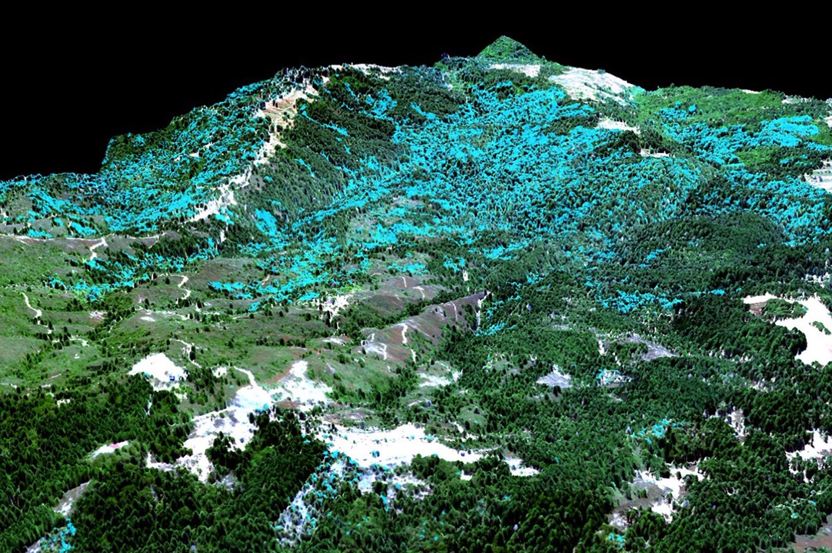
Automated system for converting satellite imagery through sophisticated algorithms to derive high-resolution forest maps that can be searched for deforestation.
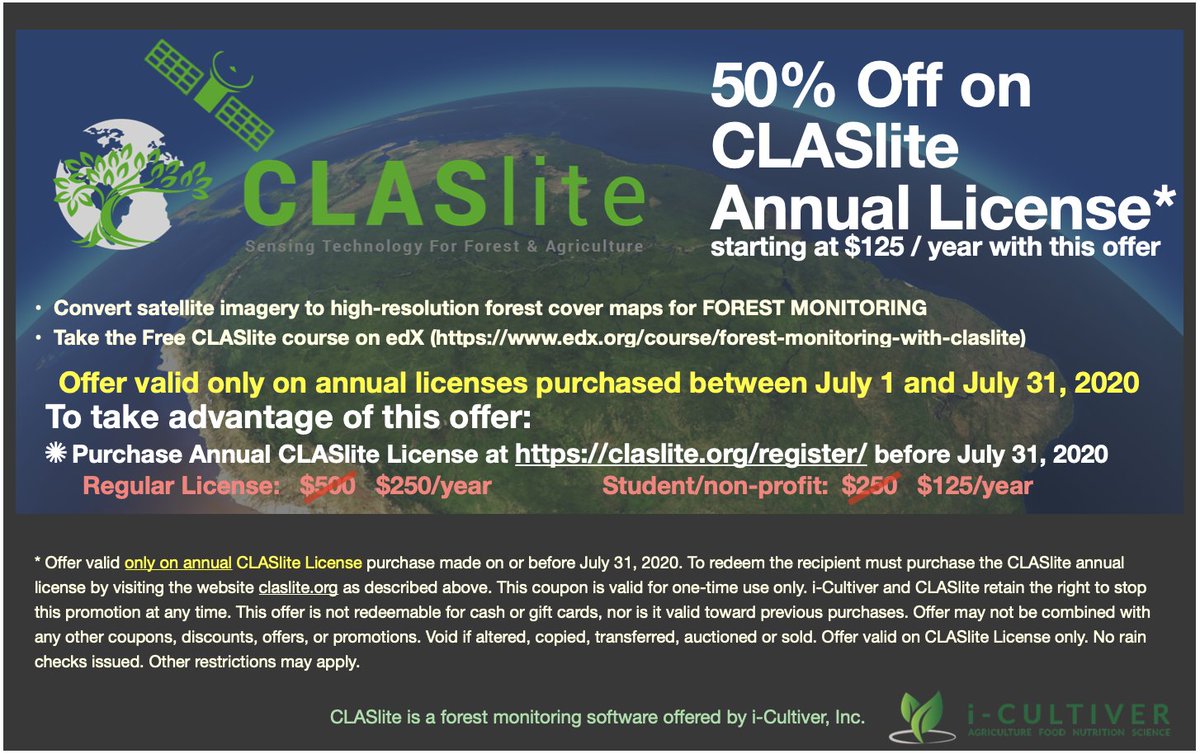
CLASlite is available for 50% off (July 1-31, 2020) the regular retail rate. For only $125 USD per year for non-profit and student subscribers. We look forward to assisting you with monitoring forest cover! Visit https//claslite.org
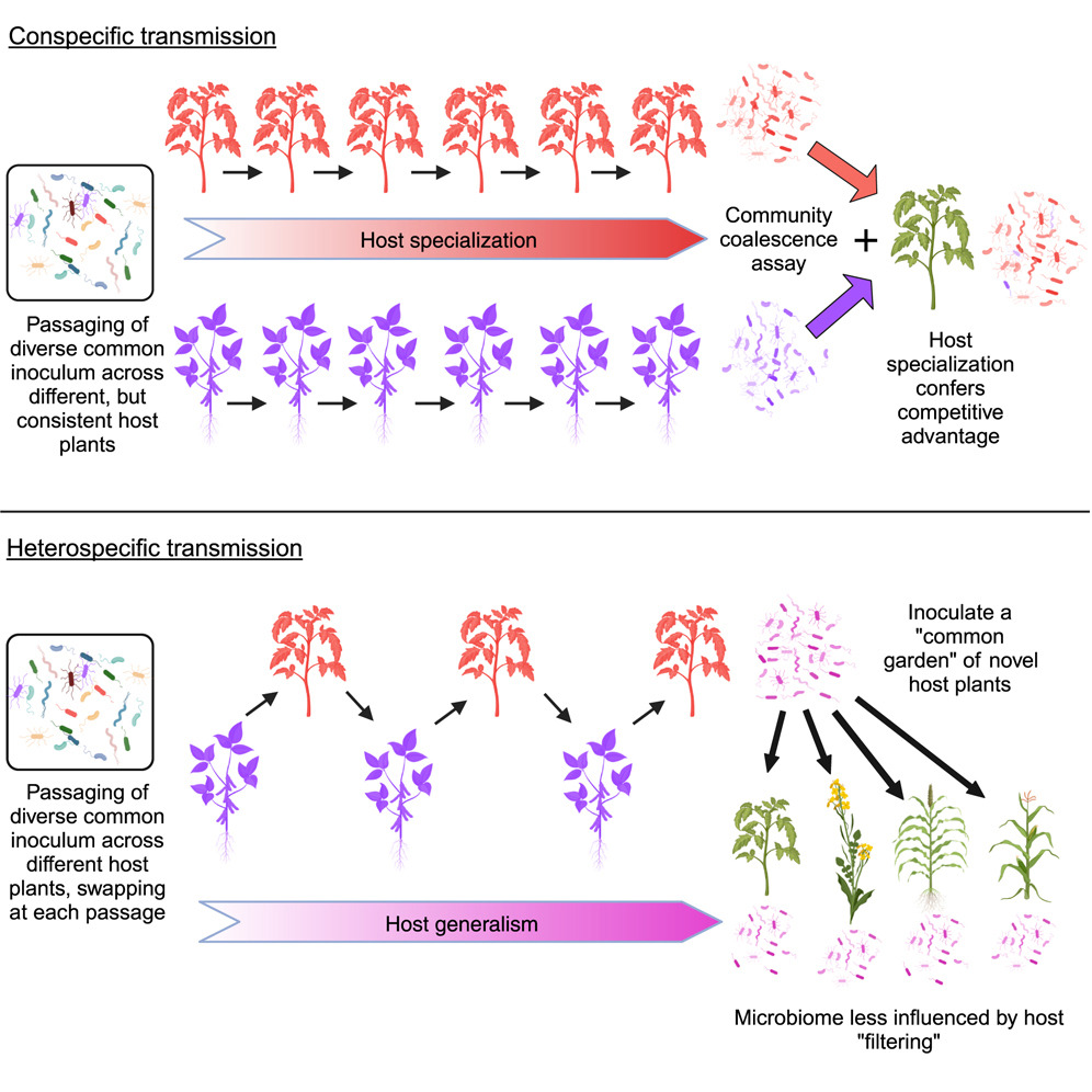
Shaping of the phyllosphere microbiome: @bkoskella & Co manipulate plant #microbiome transmission over multiple generations to show how microbiome host specialization and generalism can arise without impacting plant fitness or gene expression https://t.co/vs9YqP7XMt
This week, Dr. Greg Asner (@greg_asner) traveled to meet Pope Francis and discuss how science and faith can work together. Faith as a compass, science as a tool. Learn more: https://t.co/RajS4uRaym
📸 Asner shows the @AllenCoralAtlas to Pope Francis, Credit: @VaticanMedia
Satellite imagery contains valuable data, which is not accessible visibly. CLASlite inventor @greg_asner@DeepakChopra @ThePoonacha and @RajnishArt explore the importance of such methods to improve ecological, personal, social and planetary wellbeing. https://t.co/StHnnYfnv5
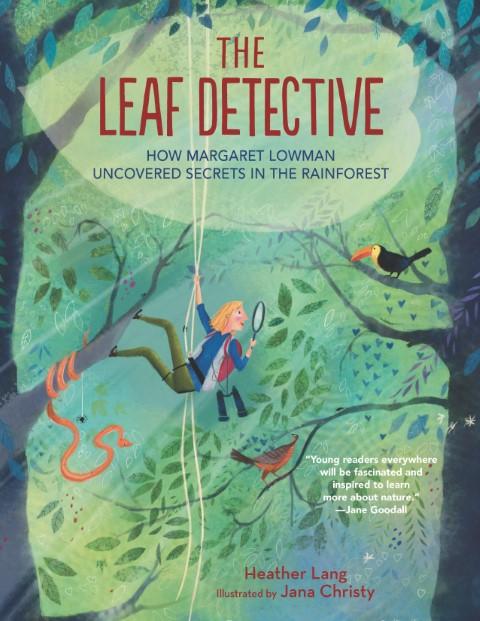
Checkout this wonderfully illustrated children's book by Heather Lang about Meg Lowman (Canopy Meg). Highly recommended for young tree and forest enthusiasts.
Anyone can use CLASlite for remote monitoring, take the free course and try it for a month.
Forest Monitoring Software https://t.co/ALY5t2EiOc via @FacebookWatch
Thrilled to announce the 1st-ever detailed maps of #coralreefs & ocean habitats throughout the #CaribbeanBasin in partnership w/ @nature_org, @planetlabs, & @VulcanInc — representing cutting-edge tech from space, sky, & sea. Learn more & explore the maps: https://t.co/4Wsm7d2RvT
New pub out today in Remote Sensing: "Coral Bleaching Detection in the Hawaiian Islands Using Spatio-Temporal Standardized Bottom Reflectance and Planet Dove Satellites," https://t.co/l49gR0IUJ9
Our open access paper led by @ShawnaFoo combines more than 500 coral outplant efforts with global sea surface temperature to reveal where outplanting works best (and worst). This is temperature only. Stay tuned for the followup study on multiple land and sea factors.
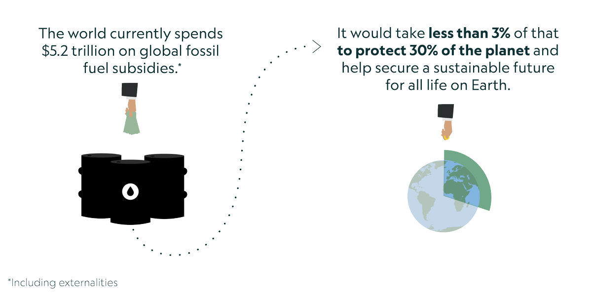
In a new report, scientists including @greg_asner have shown that at least 30% of the planet must be protected to help address mass extinctions and climate change. This effort would also help the global economy. Read the report: https://t.co/9eFry4Xpt2 #30x30
New airborne study led by colleague @E_J_Francis, with collaborators @chrfield, @katharine_mach, highlights importance of land-climate interactions for the future of #California coast redwood trees. https://t.co/FQj7hV7ipm
The GAO is an airborne laboratory developed by @Greg_Asner housing advanced Earth mapping tech. It gathers vast amounts of ecosystem data at scales humans can't measure, over regions humans can't reach, such as deep in the Amazon rainforest. Learn more at: https://t.co/mQowlvofWf
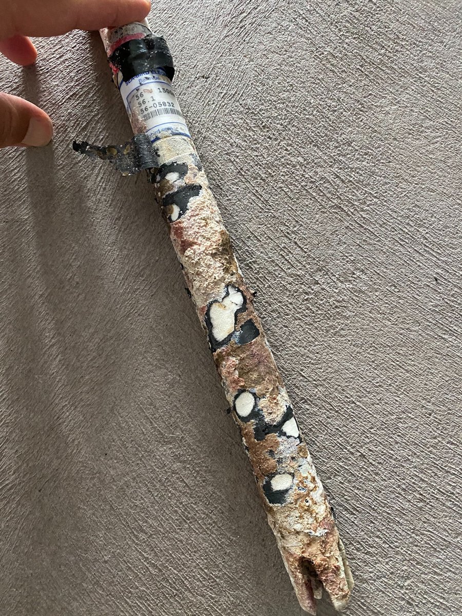
Who can guess what those odd white marks are on the side of @greg_asner 's reef temperature sensor? (Hint: we posted about this colorful creature yesterday!)
Bryant and Patrick after another training dive in preparation for the upcoming Asner Lab South Kona Intensive Reef Survey. Six feet of separation when off scuba regulator.