Pres. Lance Huffman here ---
A great year for the Storm Chase Team/Meteorology Club at BSU has unfortunately come to an end with the semester. This club has been like a family to me this year, so a huge thank you to my fellow club personnel.
The club will be back next semester!
6pm at Frozen Boulder is where we will have our final club meeting of the year! We'll do some mini golf along with officer elections! Hope to see all of you there at 6.
Address: 3501 N Briarwood Ln. Muncie, IN 37304
Good morning, chasers!
We are closely monitoring the potential risk for severe weather for western Indiana for Tuesday. A lot of uncertainty remains in terms of specific threats and timing. We will keep a close eye on how the risk progresses. #INwx#bsuwx#severewx
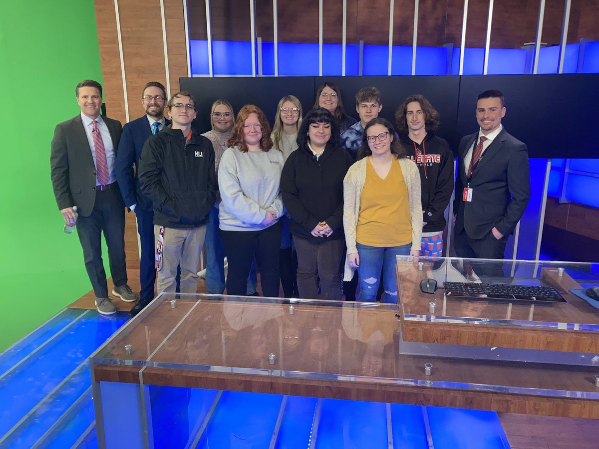
A huge thank you to @WTHRcom, @SeanAshWX, and @standridgewx for letting us to tour the station today and to go behind the scenes with their amazing Broadcast Meteorologists!
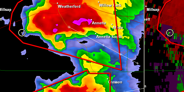
Thunderstorms will move through central Indiana this afternoon and evening. Large hail, damaging winds, isolated tornadoes, and heavy rain with resultant flooding are all possible. Stay weather aware! INwx #nwsind
As many have noticed. The @NWS has been experiencing a network outage for many of the weather forecast offices across the country. Data is slowly beginning to flow with our ability to issue products like warnings continue to work. Techs continue to work on resolving this issue.
Update from the club Treasurer:
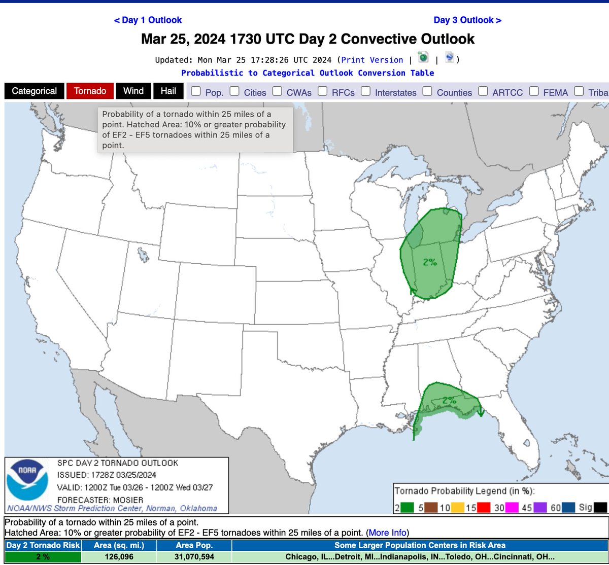
An ENHANCED to MODERATE risk of severe weather from Muncie and points east. There is a 10% chance of tornadoes for the Muncie areas, in which it is possible within the hatched area that those tornadoes could be on the stronger side. #inwx
Attention Ball State chasers!
There will be an emergency meeting with @NLIWeather and us for the discussion of tomorrow's severe weather potential. It will be held at 7:00pm in the classroom across from Unified Media Lab above the Atrium!
Natalie Taylor, club Treasurer
Tomorrow is the 1-year anniversary of the powerful March 31st-April 1st, 2023 tornado outbreak that indelibly affected #INwx & the Midwest, and President Lance Huffman (@LanceH_Wx) wrote an incredible @cardinalwxserv blog about, which you can read here: https://t.co/IaOGfym3q3
A huge shoutout to @NWSIndianapolis for giving us a tour of their office today! We learned about the process of a forecast, how warnings can get issued, and so much more! Thank you all so much for this opportunity!
We have a thin line of storms that will be arriving in the Muncie area by around 3:15-3:25pm time frame. Non severe at this point, but they are still worth watching. #INwx
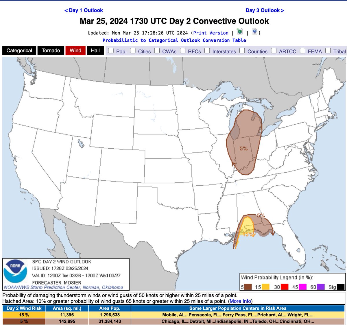
Good evening chasers! Your club Treasure, Natalie Taylor, here with a glance of Tuesday's severe weather risk. A level 1/5 (marginal risk) for severe weather is in play for much of Indiana, with primary threat of damaging winds, and an ISOLATED spin-up cannot be ruled out. #INwx
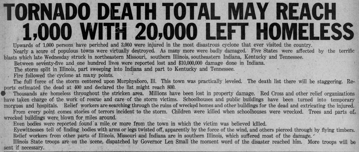
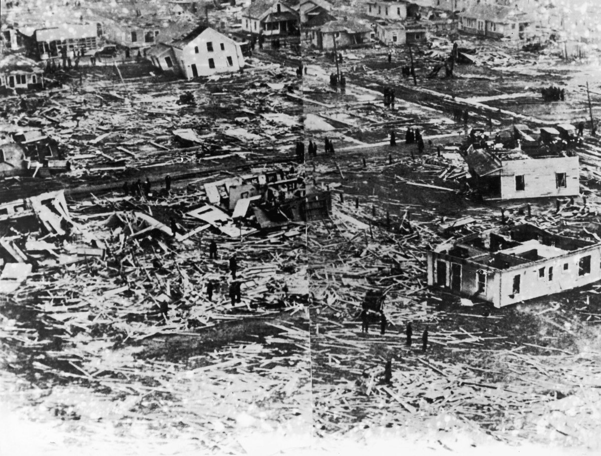
March 18, 1925:
The worst tornado in American history slammed Missouri, Illinois, and Indiana. Dubbed the "Tri-State Tornado", the estimated F5 had a path length of over 215 miles, was on the ground for ~3.5 hours, and had an estimated forward speed over over 60 mph.
#wxhistory
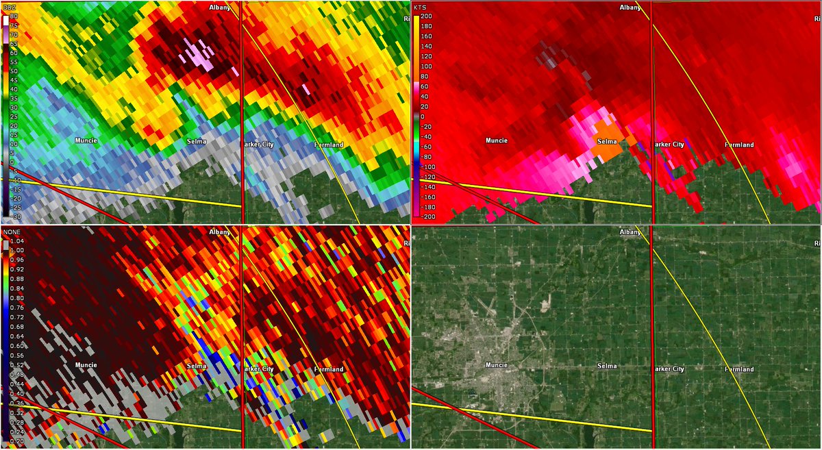
This time of March has a past with long-track 🌪s in #INwx! Historian @ryanhjersey here with a #TodayInWeatherHistory. Last Thursday, the Selma-Winchester-Western OH EF-3🌪 tracked 25 miles & March 18th, 1925 had the 219-mile track of the Tri-State F5! https://t.co/W6iY1YRXik
Good morning, Cardinals and storm chasers in Indiana!
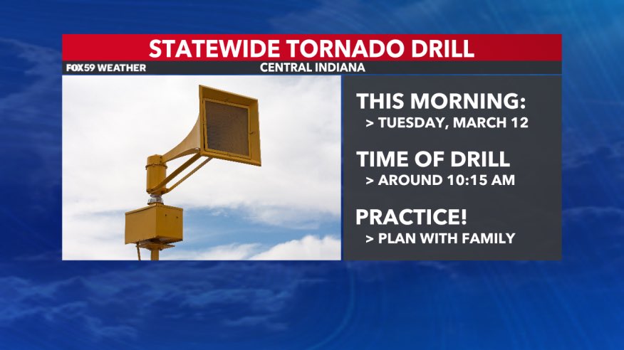
As some of you may know, it is #INSevereWxPrepWeek and today is the Indiana Statewide Tornado Drill, which will happen at 10:15 am EDT. Ball State University will sound the outdoor warning sirens at the time. IT IS A TEST!
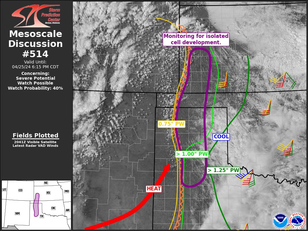
There is potential for severe weather across parts of central Texas into the ArkLaTex this coming Thursday (3/14). Check back for updates in the coming days as forecast details are refined.
Talk about history!! According to research, the phrase goes back to the 1600s and has something to do with the constellations according to this article here: https://t.co/vfXUgNwNfH
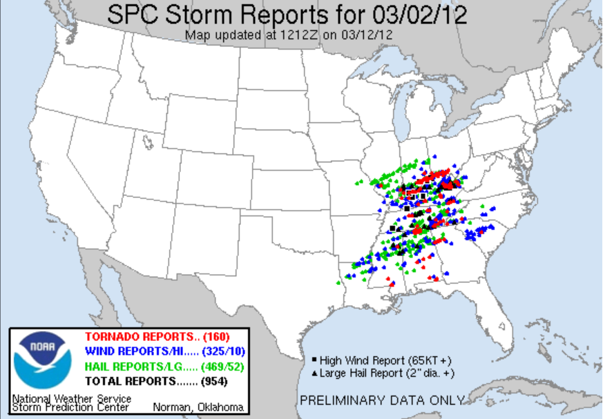
Historian @ryanhjersey here! March can be active for severe ⛈️ & next week is #IndianaSevereWeatherPreparednessWeek. A reminder: March sometimes comes like a lion! Last Saturday=anniversary of one such potent reminder, the Henryville #INwx 🌪️of March 2nd, 2012, a 175 mph EF-4.
Stats provided by the awesome @BrianWilkes59wx at FOX 59 on that🌪️ & the counties affected that day 12 years ago. We had ⛈️ today, but thankfully, not as ferocious as this one. Anyone wonders about the origin of "March comes in like a lion, and out like a lamb" though, #INwx?