The Canadian Research and Mapping Association (CRMA) is a non-profit and Veteran led organization specializing in Historical Geographical Information systems
Trooper M.E. Lucy of The South Alberta Regiment examining a Panzer IV near Xanten, Germany, 7 March 1945. Follow us as we map the @CanadianArmy as they fight through
Germany on the Road to Liberation. https://t.co/ut1yABaL2l #VE75#RoadToLiberation#WW2
In 1943 #RCAF Warrant Officer Alan Foote's #LancasterBomber was shot down near Vorden, Netherlands. Vorden’s Liberation Committee is searching for his family as they prepare to unveil a monument for the 75th anniversary of the #DutchLiberation. If you can help, please DM or email
What do you know about the Battle of Iwo Jima? Check out our new web map: https://t.co/7pkg8EgBPN built by the team @project4_4 to explore this infamous battle. Let us know what you think of it. 75 years since the @USMC stormed Iwo Jima supported by the @USNavy#Marines#iwojima
Today is the 75th anniversary of Operation Veritable a FCA plan to clear Gmn forces between the Rhine and Maas rivers, east of the German/Dutch border. This aerial photo provides an excellent perspective of the landscape which the 3rd Canadian Infantry Division fought. #project44
Our @project4_4 team will be leveraging our innovative technologies and data to support this project. The CRMA continues to lead the way with our historical initiatives!
Over the next 3 months, we'll be proudly leading this national commemoration @Moments_Canada for all Canadians! Be sure to follow us for our teacher resources, digital media & story-mapping tools - and mark #VEDay75 on your calendars @project4_4@JunoBeachCentre@VeteransENG_CA
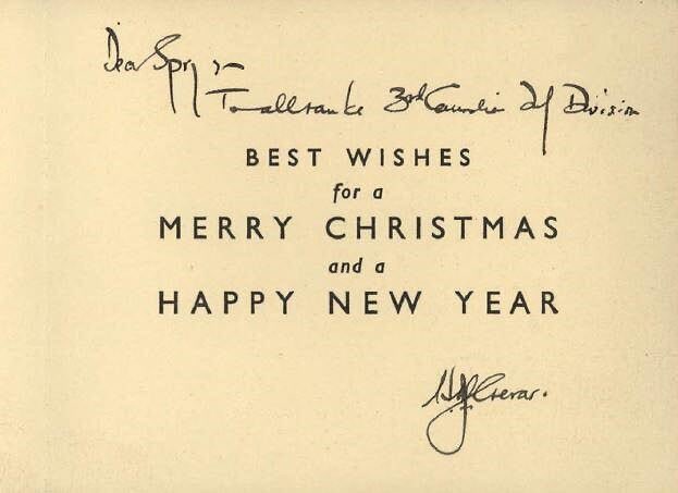
75 years ago, as the world was entering the final months of the Second World War, holiday tradition was still in full effect. Some wonderful Christmas cards that were sent to Major-General Spry, DSO of the @3CdnDiv Division during Christmas 1944. @LibraryArchives#project44
Amazing site sketch by an artist/Rifleman G.A. Sales who was w/ the Regina Rifles. This is the Reginas overlooking Carpiquet Airfield on the 1st of July '44. Might print this for my wall... Courtesy of @CRMA_ACRC
Are you an educator looking for engaging content for your next history class? Then make sure to check out our free education package which explores the Normandy campaign and provides teachers with an easy to use lesson plan. #education#history
Presenting @project4_4 with @Moments_Canada on behalf of the @CRMA_ACRC. Excited to share our digital project and the impact we have had on Canadian Military History!
Préservation numérique des cartes de planification et d’approvisionnement illustrant les points d’approvisionnement et les réseaux routiers en Normandie, 1944.
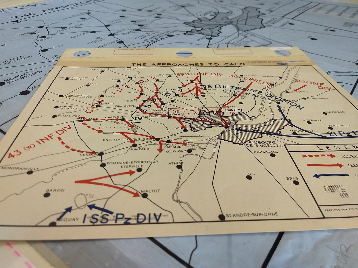
The team was exploring the War Diaries of the 3 Field Survey Company RCE. Some fantastic maps were found that our partnering archivists and historian believe had not been seen or handled in close to 75 years. #project44#theroadtoliberation#mappingmonday
Mapping the North-West Europe Campaign. As always Canadian units in red, UK in orange, USA in olive, Polish in purple, French in blue and German in grey.
https://t.co/BUGnOfnDmm
#project44#northwesteuropecampaign#liberation75
Aerial imagery is available now on the web map. We want to thank @IGNFrance (Institut national de l'information géographique et forestière) for collaborating with Project’44 and I hope all enjoy the new feature.
#project44#theroadtoliberation#Juno75#liberation75