Proposed World Air Routes, 1946
"Air-Age Education" researchers @AmericanAir developed this US-centered, azimuthal projection. A line from the center of the US to any other part of the world represents a great circle route (shortest flight path).
🗺https://t.co/7ivckHmbVd
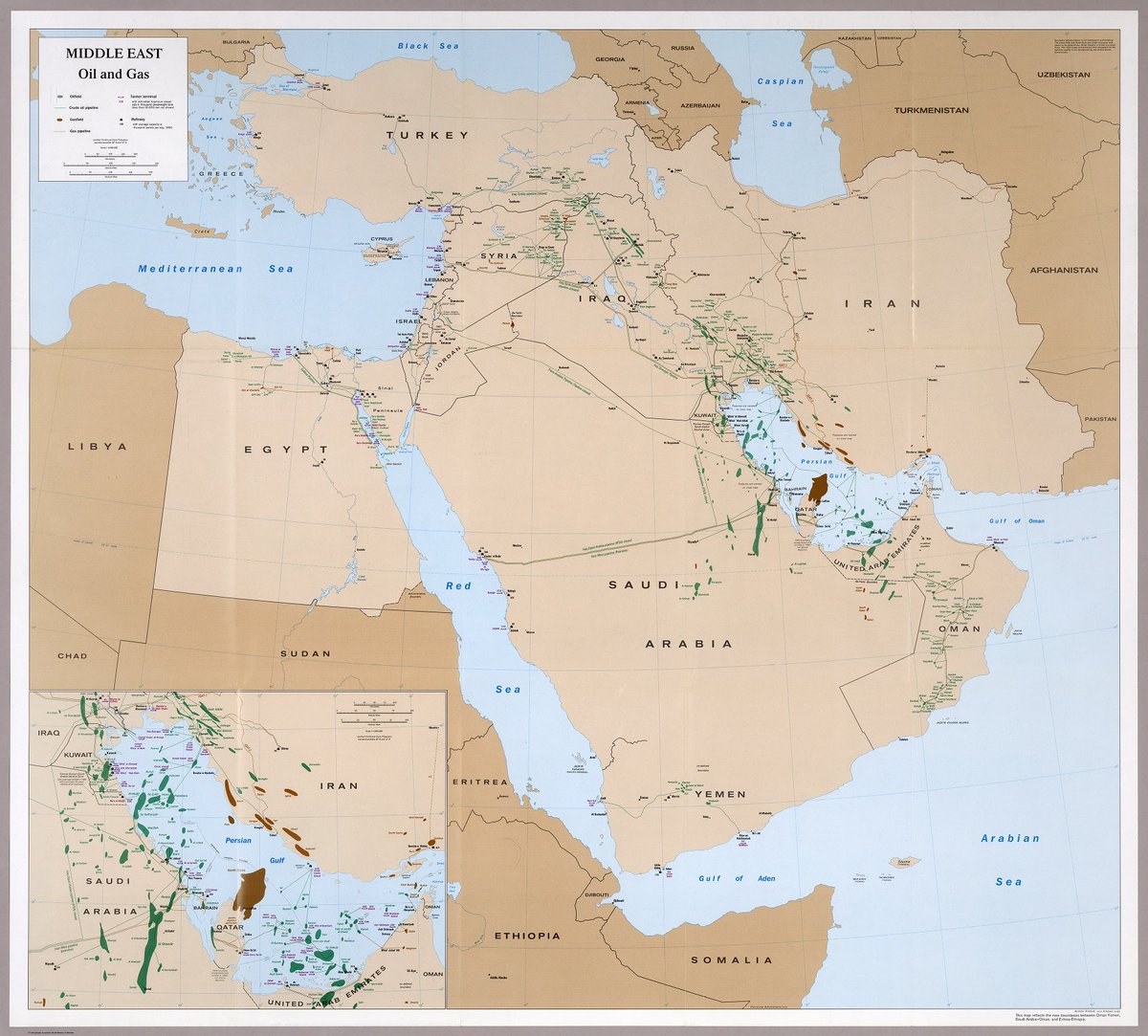
Middle East, oil and gas, 1993
from the CIA's "Atlas of the Middle East"
Showing oilfields, gasfields, pipelines, refineries, and tanker terminals.
🛢️https://t.co/fCaAro0bU7
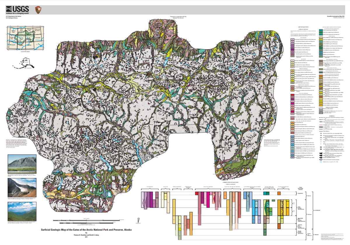
It's #FreeMapMonday! Retweet and follow us for a chance to win the Geologic Map of Gates of the Arctic National Park and Preserve, AK!
#USGSStore (U.S. residents only)
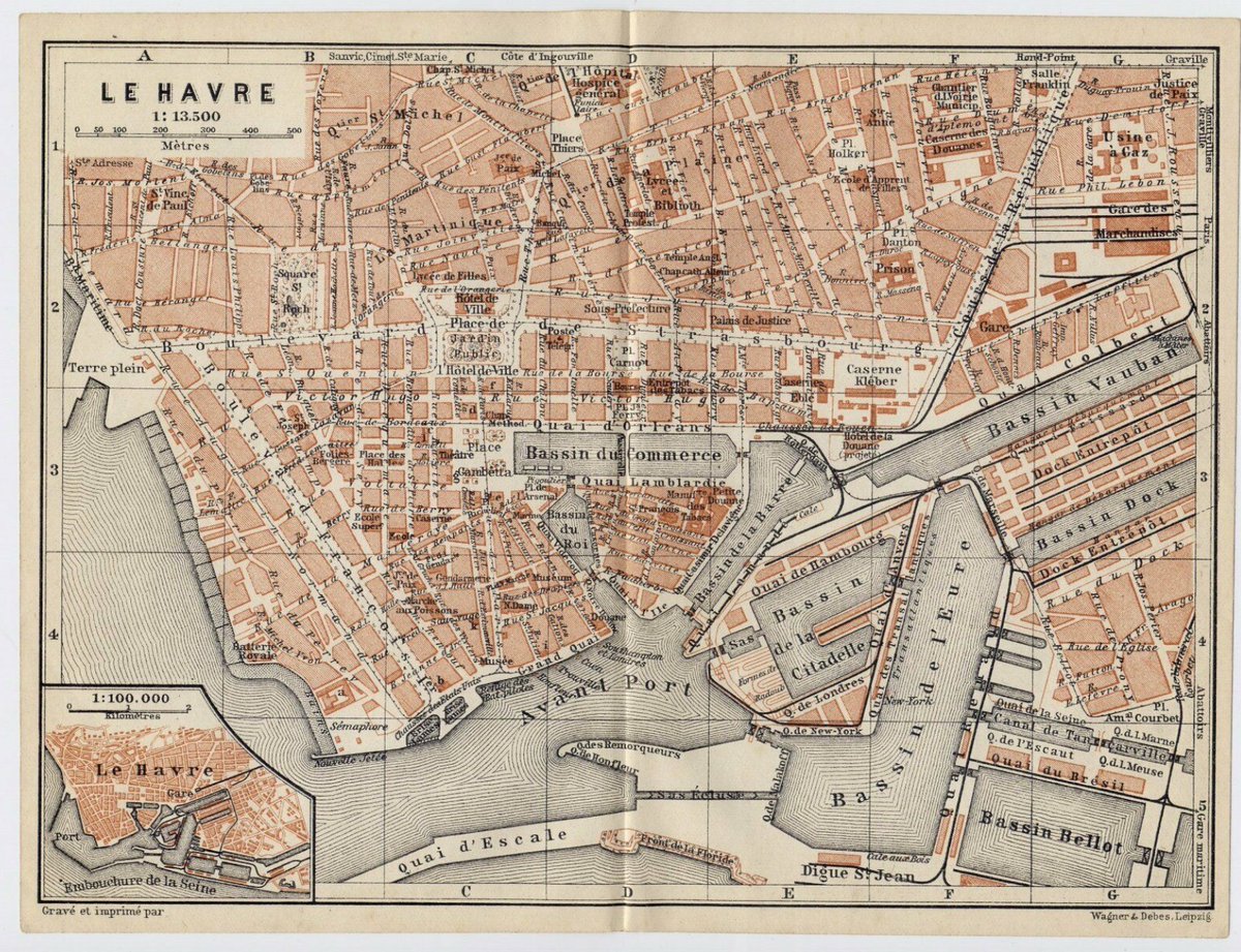
Great #GLAM (Greater Los Angeles Area Mappers) meeting today. Excellent turnout. Thanks for the wonderful talks! #mapsathome @DigitalGallery0 #Baedekerguides
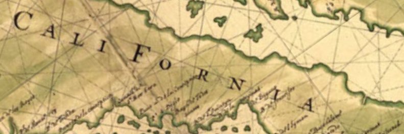
The California Map Society had a wonderful virtual spring meeting with a wonderful talk on historical Paris by @cspikes#mapsathome. Image courtesy of Library of Congress, Geography and Map Division @DigitalGallery0
Bay Area Map Group had a great virtual meeting this past weekend. Excellent turnout from all across California and the US. A first for @CalMaps#mapsathome#GLAM
Given we're on an indefinite stay at home I thought I'd share some of my home with the world. Every day I'll tweet a map I have on my wall, or in a drawer, with some background details. Join in if you like. Let's call it #mapsathome. First one coming up shortly.