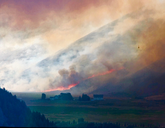
Additionally, @EPAMichaelRegan is working with state and local governments to continuously monitor air quality and providing critical updates for impacted zip codes.
You can find the current air quality and updated public health guidance in your area at https://t.co/D4mQzhQUbO.
@deborahjonesnz @SamNZed @LexRegina72 It’s okay. There are several Chris Wilkes’ around. I just got on twitter first. I knew about EMF, but I have now googled and learned what the “beehive” is in New Zealand. Thanks!
Is there a wildfire in your area? Check out #AirNow’s Fire and Smoke Map at https://t.co/diALvLk6tK. We’ve added data from low-cost #sensors as part of a pilot project to expand the air quality info the map shows.
Our Fire and Smoke Map shows you current air quality, smoke plumes, and fire locations all on one map. Our new pilot project with @forestservice adds air quality info from low-cost sensors to the map too. https://t.co/diALvLk6tK
Are you in the area of the Lightning Complex Fire? Check air quality info and the locations of fires and #smoke plumes on our updated Fire and Smoke Map at https://t.co/7Y69e1iLD6.
#TriviaTuesday: Data from low-cost #sensors on the #AirNow Fire and Smoke Map adds air quality information in areas with no particle pollution monitors as part of a joint @EPA-@forestservice pilot project. https://t.co/diALvLBHSk
Is there a #wildfire in your area? Check out the @AIRNow Fire and Smoke Map. We’ve added data from low-cost air pollution #sensors as part of a pilot project to expand the air quality info the map shows => https://t.co/3NlLmpEkq1
Is there a wildfire in your area? Check out #AirNow’s Fire and Smoke Map at https://t.co/diALvLk6tK. We’ve added data from low-cost #sensors as part of a pilot project to expand the air quality info the map shows.
.@EPA and @forestservice have launched a pilot project to show low-cost #sensor information on the #AirNow Fire and Smoke Map. Check it out at https://t.co/diALvLk6tK