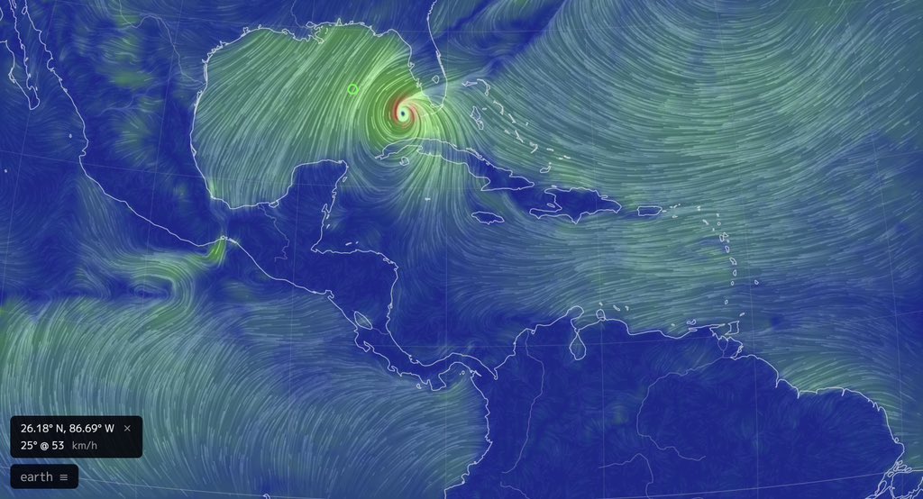
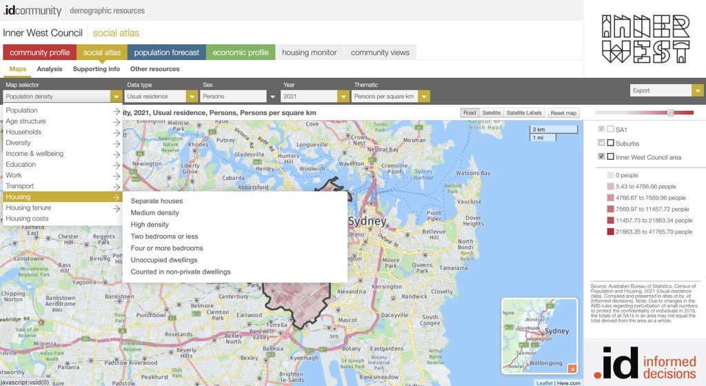
I'm going to start sharing ideas and activities that use spatial tech and can be done remotely to help teachers jazz up their online lessons. I'll add to this thread so follow along.
#geographyteacher#GeoEd
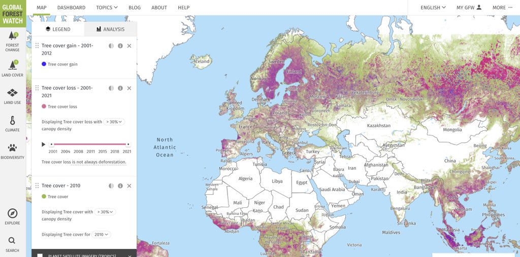
Earth observation and geospatial techniques have improved the ability to measure nitrogen dioxide at ground level.
#gis#geospatial
https://t.co/WP8WyO0cJO
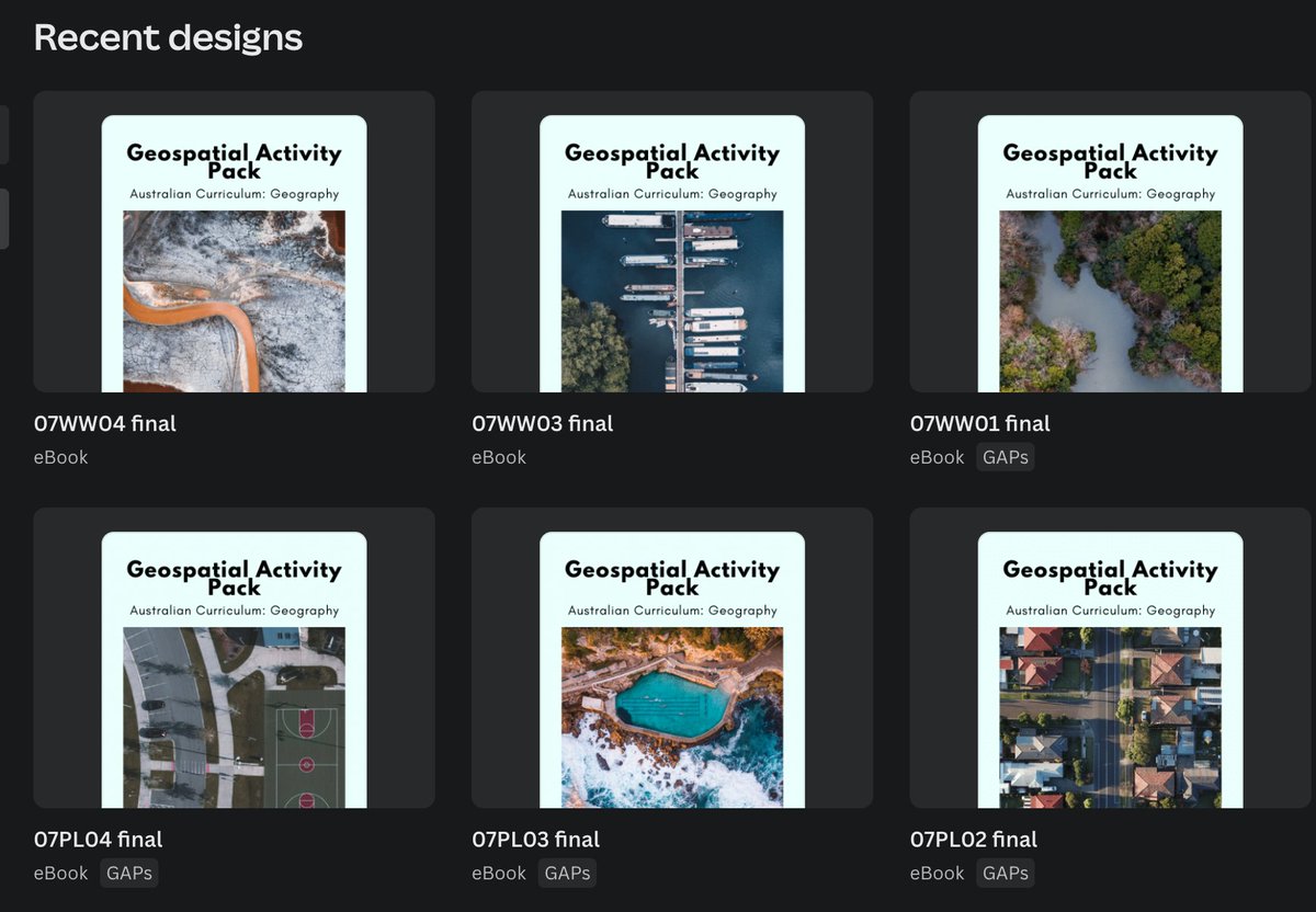
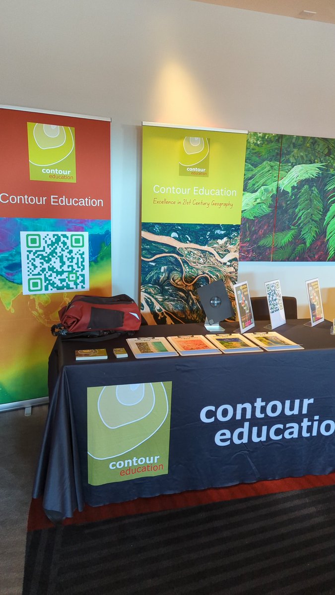
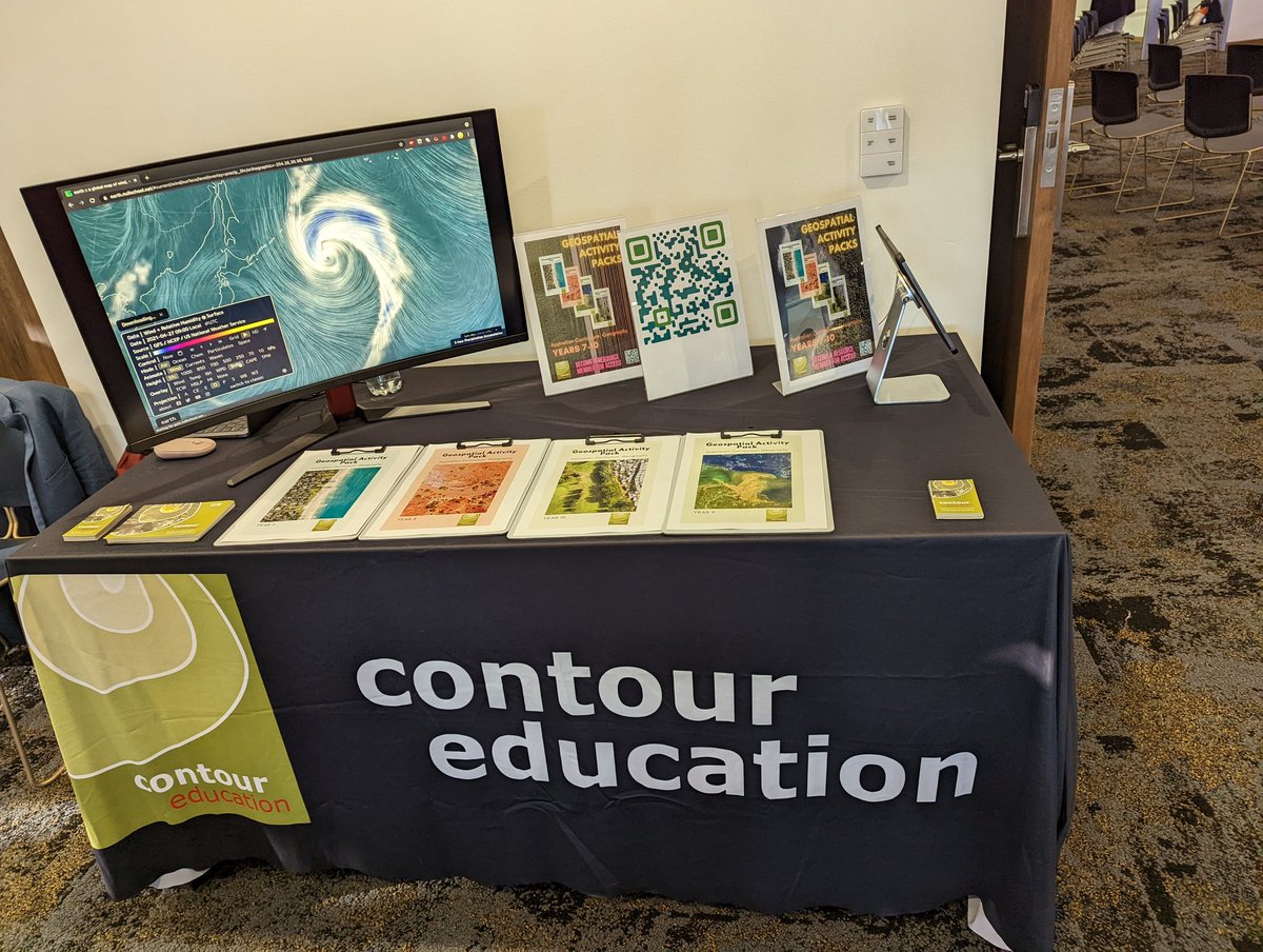
They're coming!
Geospatial Activity Packs are rolling out on our website now for Resources members. Log in online and go to the new Resources tab.
Exciting!
#geographyteacher#geospatial
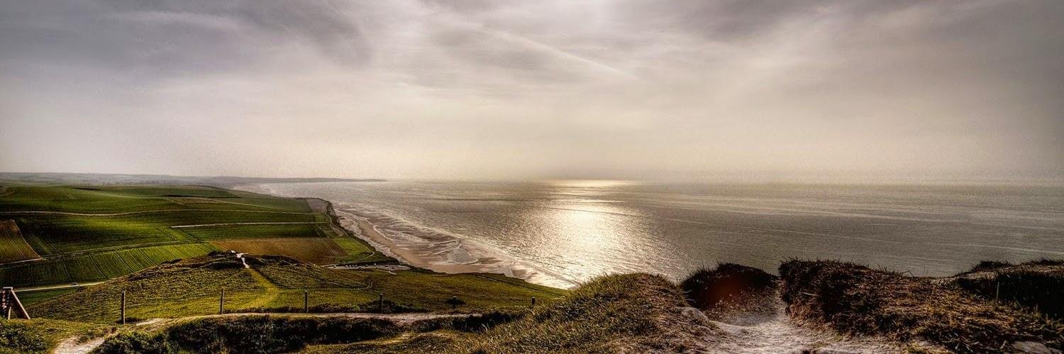
Colorful patterns are seen in Lençóis Maranhenses National Park, a 380,000-acre protected area in northeast Brazil. It contains miles of sand dunes, the valleys of which fill with freshwater lagoons during rainy season and are prevented from draining by impermeable rock beneath.
This treasure trove of Earth science data is available for public use, too! 🌐 In fact, YOU can even monitor Earth’s vital signs in real-time with our interactive data visualization, Eyes on the Earth: https://t.co/5Nt1AnU548 (7/8)
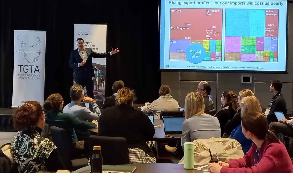
In Hobart I argued to 150 geography teachers that they are teaching a crucial subject. Geography is a systemic discipline. The big problems we face are al systemic in nature (climate change, housing affordability, even the skills shortage).
Top story: @JessPendley: 'The unbreakable @adavidpglass has a Ko-fi gallery stuffed with fat stacks of awesome maps like the one below, free of charge.
Grab some for your games, hit that follow button, and throw him so… https://t.co/zwUZy5vlLe, see more https://t.co/qsSTWd54pk
It was great to present and MC the STEM panel at today's #gtaq22 conference on the Gold Coast.
Another great conference team, well done to all involved!
To the undiscerning eye, an unreliable map may look just like an authoritative one. That’s why ethics in mapmaking and #cartography is such an important conversation to be having right now. https://t.co/GBQXz8yOXC