Providing timely, relevant, targeted satellite-based data for maritime surveillance to MS&EU bodies. Managed by @EU_Commission, implemented by @EMSA_EU.
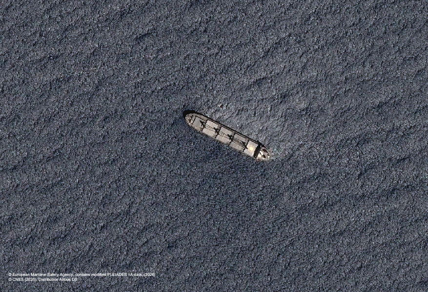
🛰️@CopernicusCMS Earth Observation imagery, combined with the Enhanced Vessel Detection Service (EVS), helps authorities identify vessels such as this cargo ship.
EVS provides additional information on vessel type, size, speed and heading.
By combining Earth Observation imagery with vessel detection, @CopernicusCMS helps identify vessels that may be involved in AIS spoofing activities.
#CMS supports law enforcement authorities in timely monitoring and response actions.
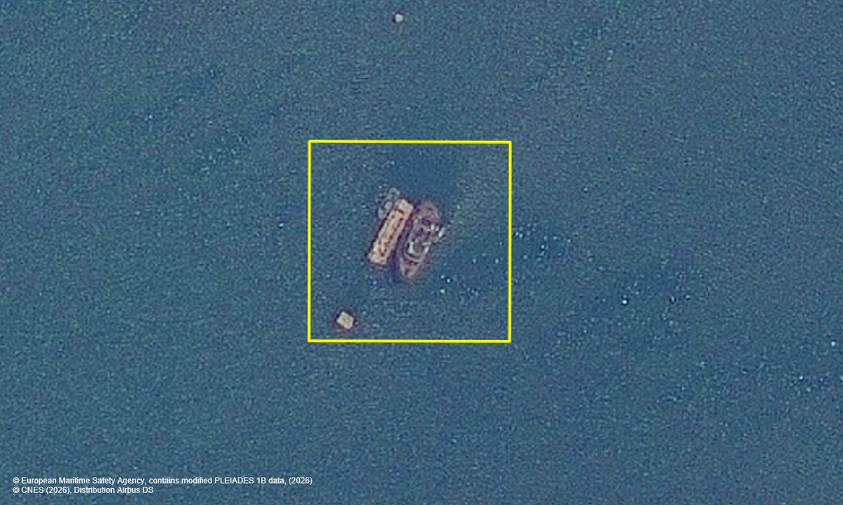
Can you see the vessels surrounding these fish cages?
@CopernicusCMS#EO imagery supports competent authorities in monitoring aquaculture activities and detect potential irregularities.
Through high-resolution optical satellite images, @CopernicusCMS can support national authorities in monitoring vessels of interest, such as this merchant ship.
#CMS contributes to safe transport of goods over waters of EU🇪🇺 interest.
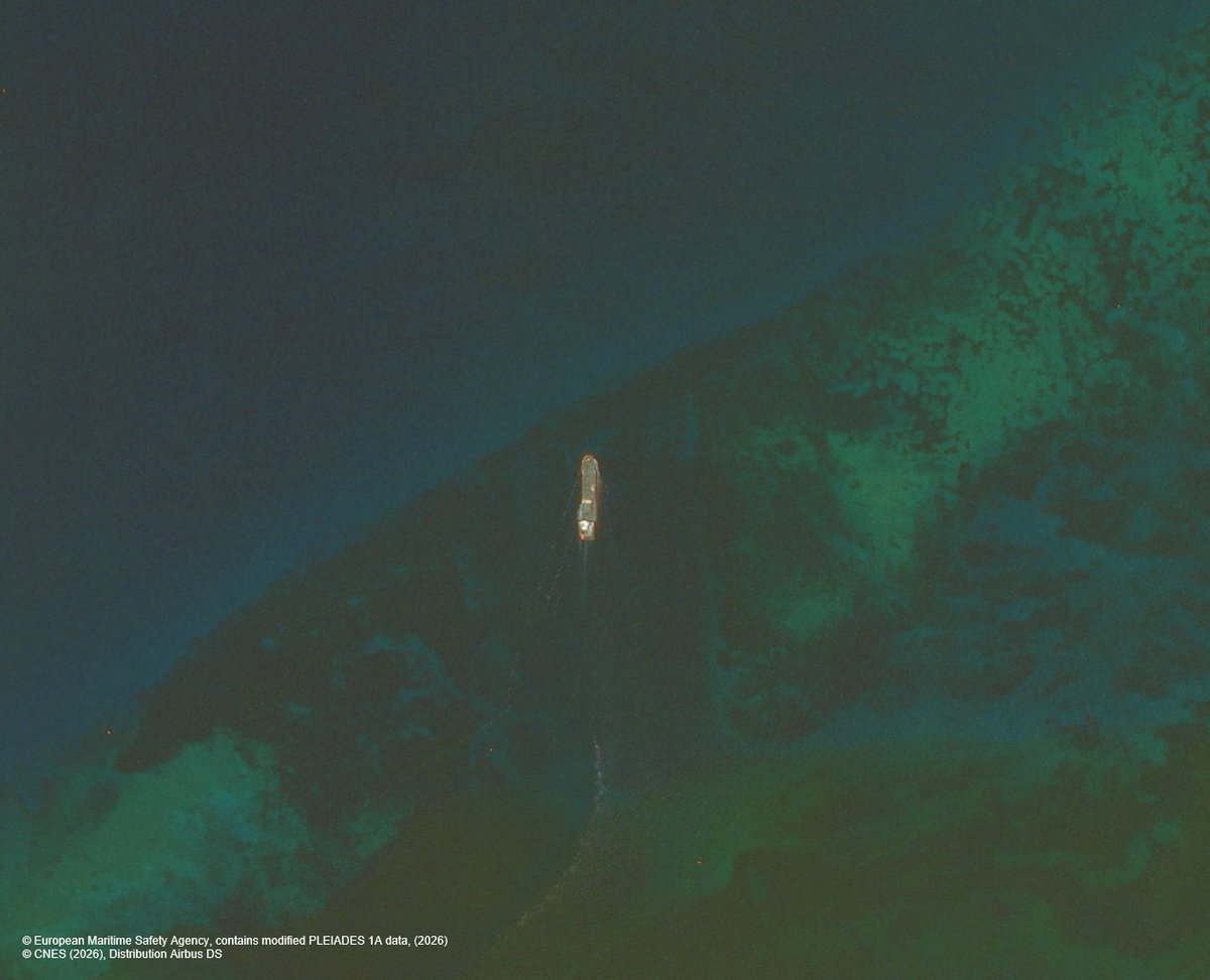
By delivering timely, high-resolution optical satellite imagery, #CopernicusCMS helps authorities identify ships of interest even when they are not transmitting their position.
Can you spot the fish cages and the nearby vessels?
With the help of @CopernicusCMS#EO very high-resolution imagery, competent authorities can enhance the monitoring of fish caging activities and respond promptly to any potential non-compliance!
By combining Earth Observation imagery with the activity detection service, @CopernicusCMS enhances maritime situational awareness by identifying vessel behaviour that warrants further investigation.
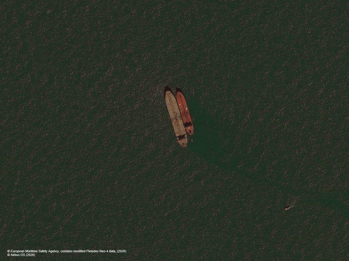
.@CopernicusCMS Earth Observation imagery and vessel detection service support the detection of small vessels operating in close proximity to larger vessels, helping authorities identify potentially suspicious behaviour at sea.
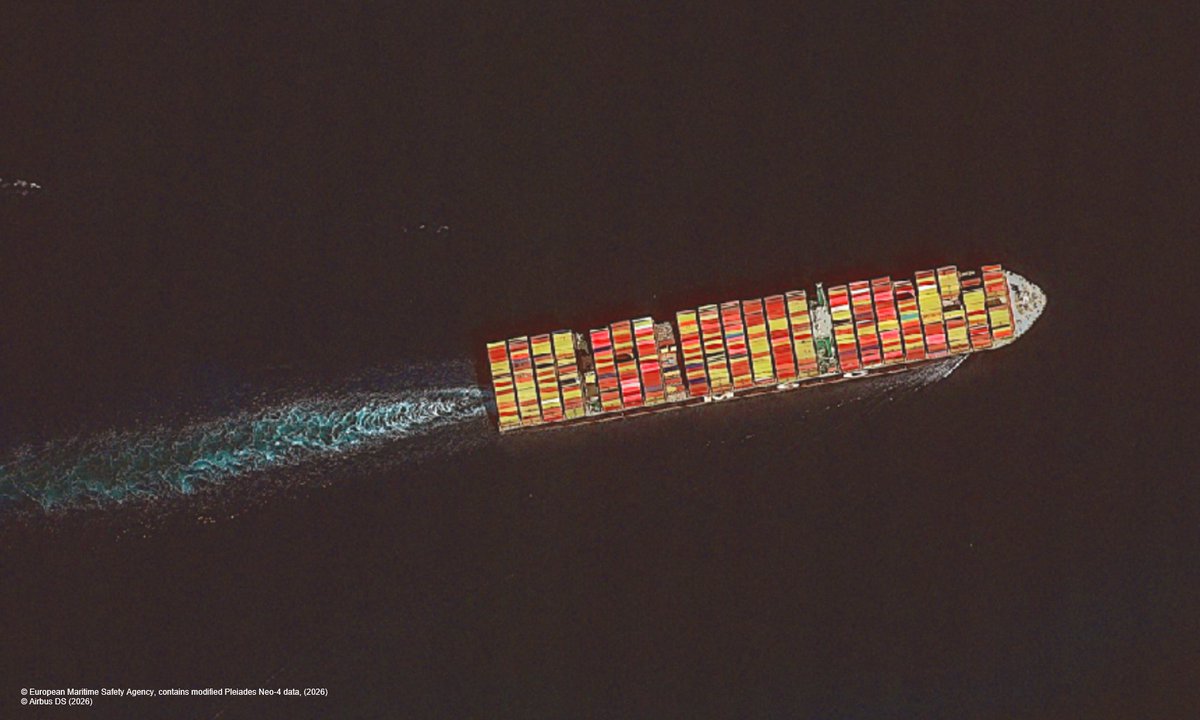
Very high-resolution optical satellite imagery provided by @CopernicusCMS enables the rapid detection of vessels of interest,such as this container vessel,& confirms their position.
These are acknowledged by our users as a key tool in supporting activities such as customs control
Through the combination of @CopernicusCMS Earth Observation images & activity detection service,law enforcement officers can detect vessels conducting rendezvous at sea, where one or more vessels are not reporting their position & may potentially be engaged in unlawful operations
🛰️@CopernicusCMS Very-high resolution Earth Observation images and value-added products help national authorities to identify vessels of interest not reporting their position.
🎤Tune in to hear key insights from a senior European Commission Copernicus expert on how the Copernicus Maritime Surveillance Service #CMS bridges operational delivery and research & innovation, supporting future service evolution to address emerging user and policy needs 🇪🇺
We are delighted to welcome our users to our annual @CopernicusCMS training, hosted at @EMSA_EU. The sessions are being held today and will continue on 27th May.
Building on real-word cases and engaging discussions on maritime surveillance, participants shared valuable insights and highlighted challenges and opportunities to further enhance the #CMS service.