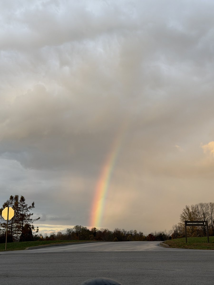
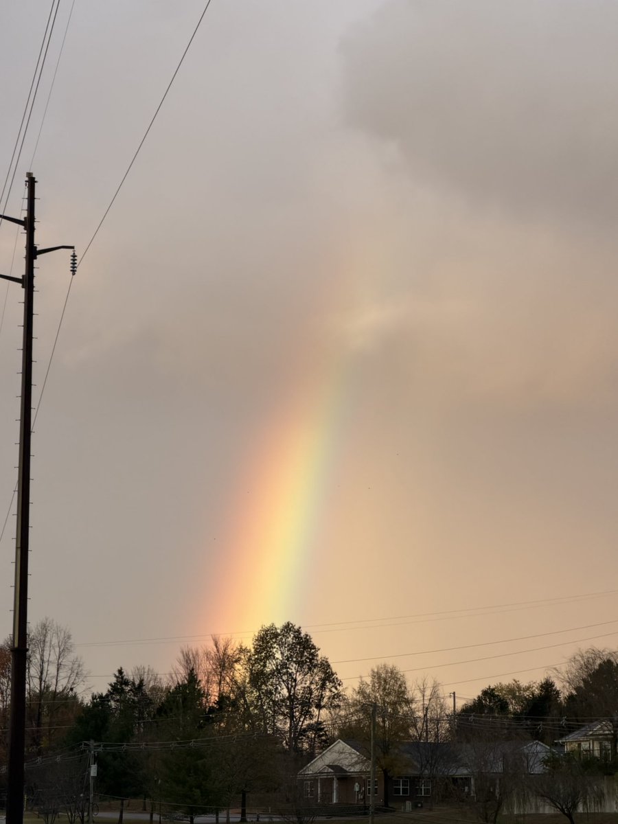
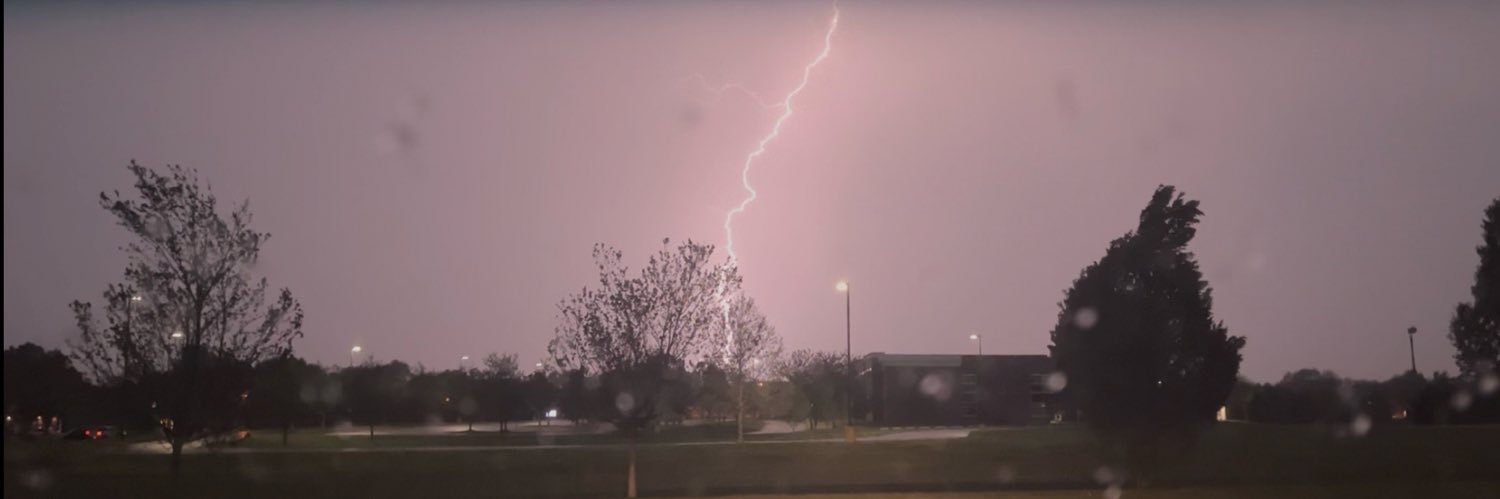
3 Damage Reports in or near the "Focus area" we highlighted yesterday morning, well BEFORE the storms arrived.
Not perfect, but not too bad for knocking the rust off, Kentucky! 💪
11/12
WABBLES winter is peeking its head in the door after a busy night of strong to severe storms. The cold is settling in, and with this cold and excess moisture, you may even see a different type of frozen precipitation closing out the week.
When you walk out the door this morning, it will feel just like every other day: sunny with a bit of a chill in the air. Don’t be fooled. The gusty northwesterly wind is locking in, and while our highs will be in the mid-50s, that wind and the chance of scattered gusty showers will make it feel a little chilly out there.
This afternoon and evening, moisture wrapping along the back side of the cold front will move in, bringing gusty showers into our region. Most of it looks to be rain, but we can’t rule out some ice pellets, especially as we move into Friday morning.
If you thought today was looking cold, tomorrow our high will be in the mid-40s, but most of us won’t get to experience that. This is because we reintroduce our favorite variable, the wind chill. Wind chill values don’t look like they'll escape the 40s tomorrow. If you’re heading to the homecoming parade in Bowling Green tomorrow, make sure you bring your layers.
Saturday, we’ll see some relief from the sunshine, but our wind chills still don’t look to break 50 degrees. That’s only the daytime highs; our morning lows through the weekend will be all the way down into the upper 20s.
Make sure you have those layers to fight the wind and those gusty showers we’ll have going on today.
UPDATE: Barricaded suspect "contained" with self-inflicted gunshot injury after shooting in Washington, D.C., that left one person dead, four injured. - press conference
Thursday 11/12 Forecast:
After a stormy evening last night wind small hail and gusty wind reports, we will settle back into November standards with temps seasonal in the 50°s. Dry, cooler Northwest flow on backside of the Front with intervals of Sun.
There were a lot of scattered wind/hail reports from yesterday! Thankfully, much of the wind/hail reports were very minor.
If yesterday had about 10° higher dewpoints, it would have been a MUCH different story! Thankful it was not!
Much COLDER air moves in today. I am looking over the latest data on our snow chance this weekend and will have a full update this afternoon! #KYwx
@I65WxSils@Kentuckyweather that nudger was pretty crazy. The lightning was all over the place. Struggled to get good shots because I had to keep moving but got a few decent shots🔥 #kywx