GIS enthusiast & remote sensing aficionado 🌍 Exploring the world's spatial data one map at a time 🗺️ Lover of all things tech, science & nature | Drone 🤓
🚨 YouthMappers UNILAG Onboarding 🚨
We are super excited to officially welcome our new members tomorrow! 🎉
Come meet the team, hear from our amazing speakers, and learn how to get the best out of YouthMappers.
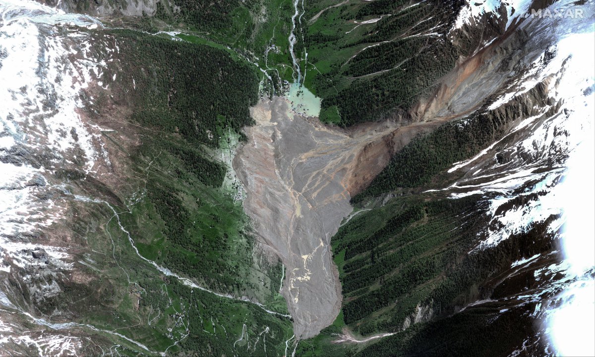
The Swiss avalanche reminds us:
Climate change is no longer distant—it's reshaping everyday life.
As a geographer & GIS analyst, I see the power of early warning systems and spatial data in reducing disaster impact.
We can't stop nature, but we can plan smarter.
#GeoByte
The way patterns emerge, visuals unfold, and maps tell stories... it's like unlocking a hidden canvas. GIS/RS products aren't just informative, they're visually stunning, almost... artistic. Has anyone else felt this intersection of science and art? #GISasArt#RemoteSensing
I've always known GIS and Remote Sensing as powerful scientific tools, shaping our understanding of the world through data-driven insights. But recently, I've discovered a new dimension - the artistry within.
@Kiki_i_am Wow, your map looks amazing! I love how you added interesting facts to it. Can't wait to see more of your creations throughout the year! 🗺️✨
As an aspiring cartographer, I plan to create more maps this year, hopefully once a month and post them! this is a map of the percentage of people that use the Internet worldwide. It was very interesting to make, and I added a few facts to the map(zoom in to see them well🫶🏾)
1/12
Building an object detection model with high-res satellite imagery this weekend! 🌍🛰️From disaster response to monitoring deforestation & urban growth, this tech has the power to tackle global challenges and drive impactful change. #AI#Geospatial#MachineLearning#Sustainability
RESCHEDULED X SPACE.
Meet our speaker. Mark your calendars for MAY 11 2024, 7:30PM.
Nigeria Drone Community is hosting a Twitter Space with @pythogeo on "Unmanned Aerial Vehicles & Varying Payloads."
Stay tuned for more info! #DroneSensors#UAVApplications#DRONENG#UAVNG
Ladies and gentlemen,
Happy New Year from UNILAG YouthMappers!
As we step into 2024, let's embark on a journey of mapping opportunities and creating positive change.
Here's to exploring new horizons both in the skies and on our maps. Keep soaring to new heights and may your passion for geospatial analysis continue to unfold new layers of our amazing world. 🌍🚀 #HappyNewYear#GeospatialJourney#UAVAdventures#Mapping2024
Happy New Year to all my fellow mappers and UAV enthusiasts! As we chart our course into 2024, let's remember that every journey, no matter how vast, starts with a single coordinate. This year, may your data be accurate, your maps insightful, and your flights high and unhindered
Paradoxes in the Geospatial industry.
1. Data Abundance vs. Data Quality
While there is an abundance of geospatial data available, ensuring the quality, accuracy, and reliability of the data can be a significant challenge
2. Open Data vs. Data Security
Embracing open data initiatives for accessibility conflicts with the need to secure sensitive geospatial information, especially in applications related to national security or privacy concerns
3. Global Collaboration vs. Local Context
Geospatial technologies enable global collaboration, yet effective implementation often requires a deep understanding of local contexts and nuances
4. Real-Time Data vs. Historical Analysis
The demand for real-time geospatial data contrasts with the need for historical analysis to understand long-term trends and patterns
5. Accessibility vs. Affordability
While efforts are made to make geospatial tools more accessible to a broader audience, the cost of advanced technologies can still pose a barrier to entry
6. Standardization vs. Innovation
Striving for industry-standard geospatial practices may sometimes impede the rapid adoption of innovative technologies and approaches
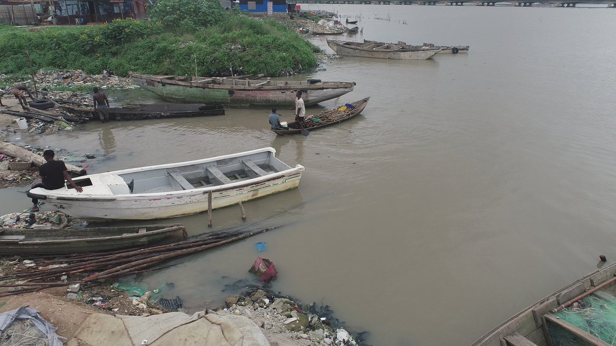
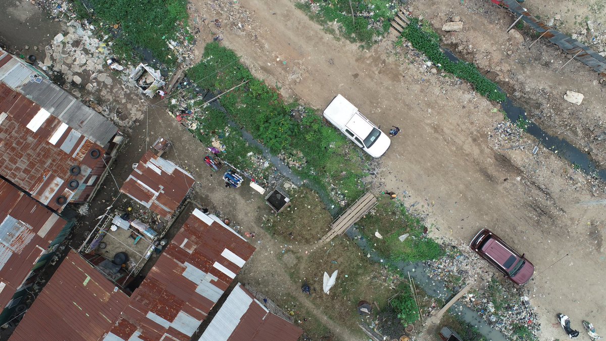
"Utilizing a DJI Phantom 4 Pro V2 drone for comprehensive aerial assessments of landfill & waste areas near Lagos lagoon. Precise data collection sheds light on waste disposal concerns and unveils open defecation sites, underscoring the imperative for sustainable solutions.