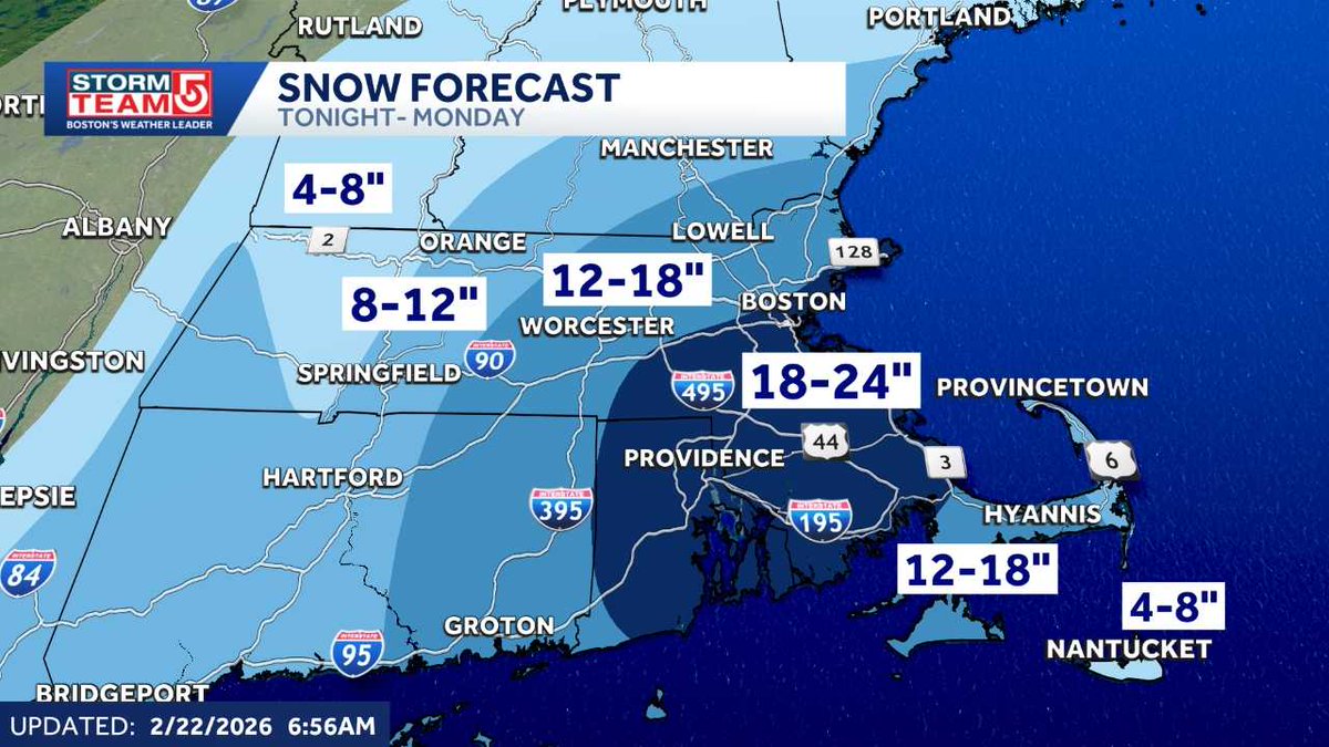
Three things to know about the coming nor'easter:
1. Blizzard conditions likely overnight
2. Concrete-like snowfall expected
3. Worst time to travel from 3a-9a Monday
Get additional forecast and timeline details:
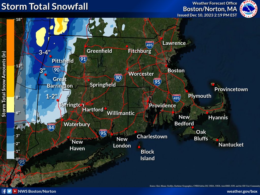
A quick-moving system will bring a period of snow and mixed precipitation Thursday. Total snow and sleet accumulations will range from 1 and 4 inches and a light glaze is expected from freezing rain and drizzle later Thursday afternoon and evening.
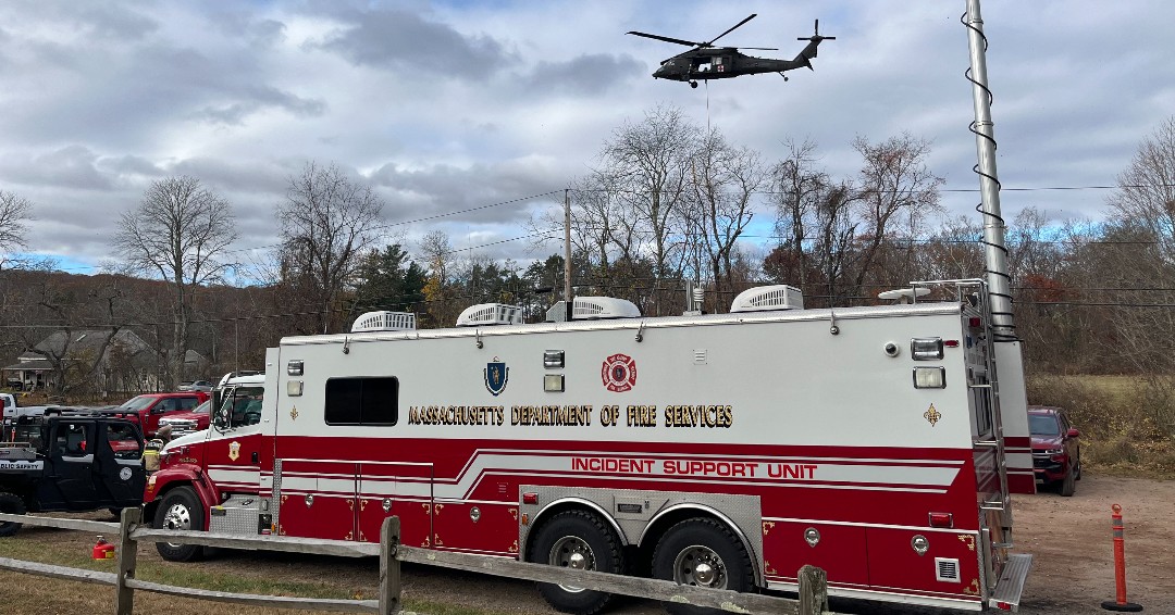
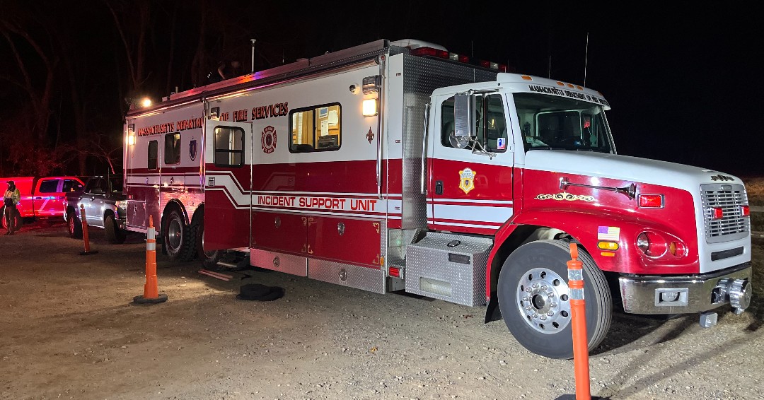
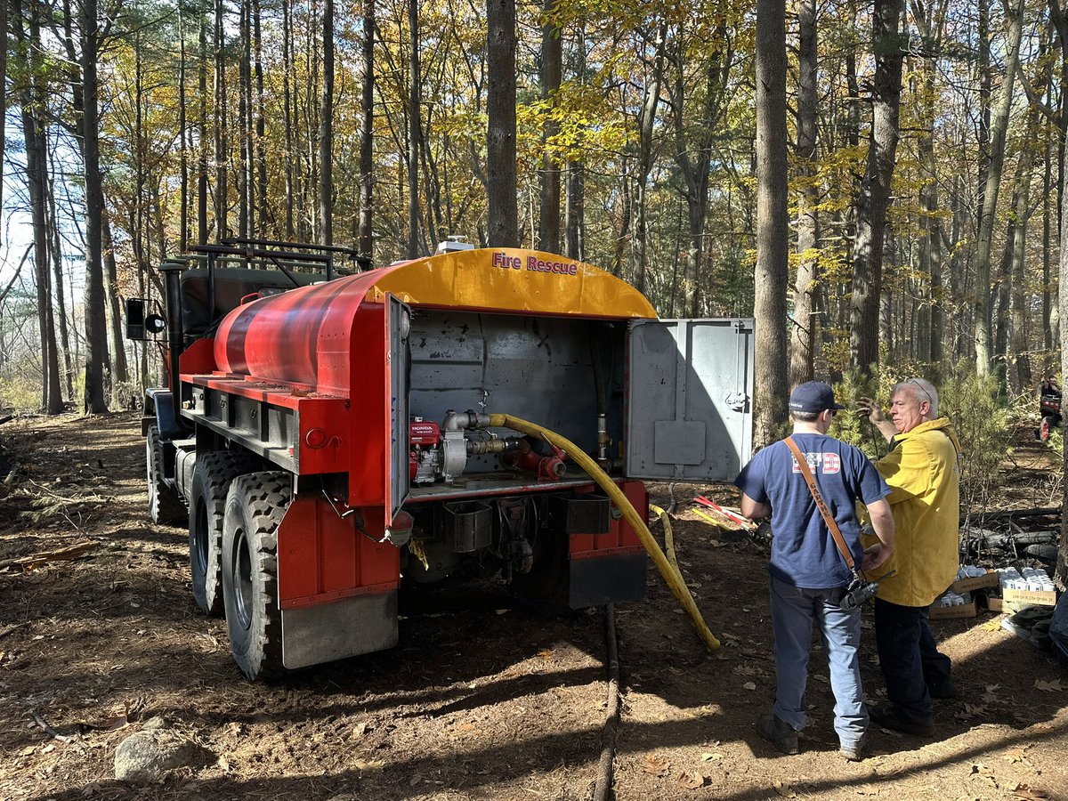
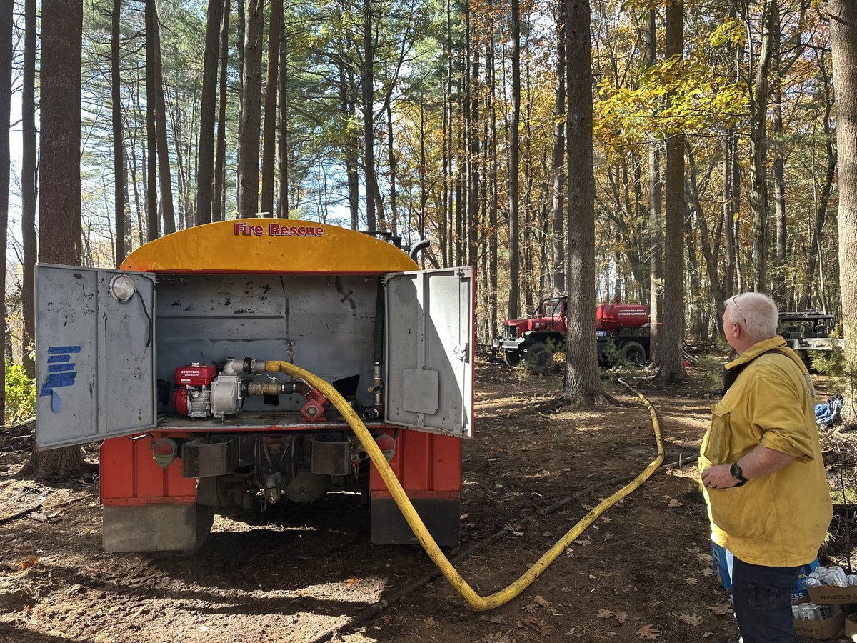
All of Massachusetts faces a heightened risk of outdoor fires. Almost any significant outdoor fire can put people & homes in danger and almost all of them are preventable. PLEASE refrain from any activity involving sparks, flames, or heat sources outdoors: https://t.co/gFKzVAoVmq
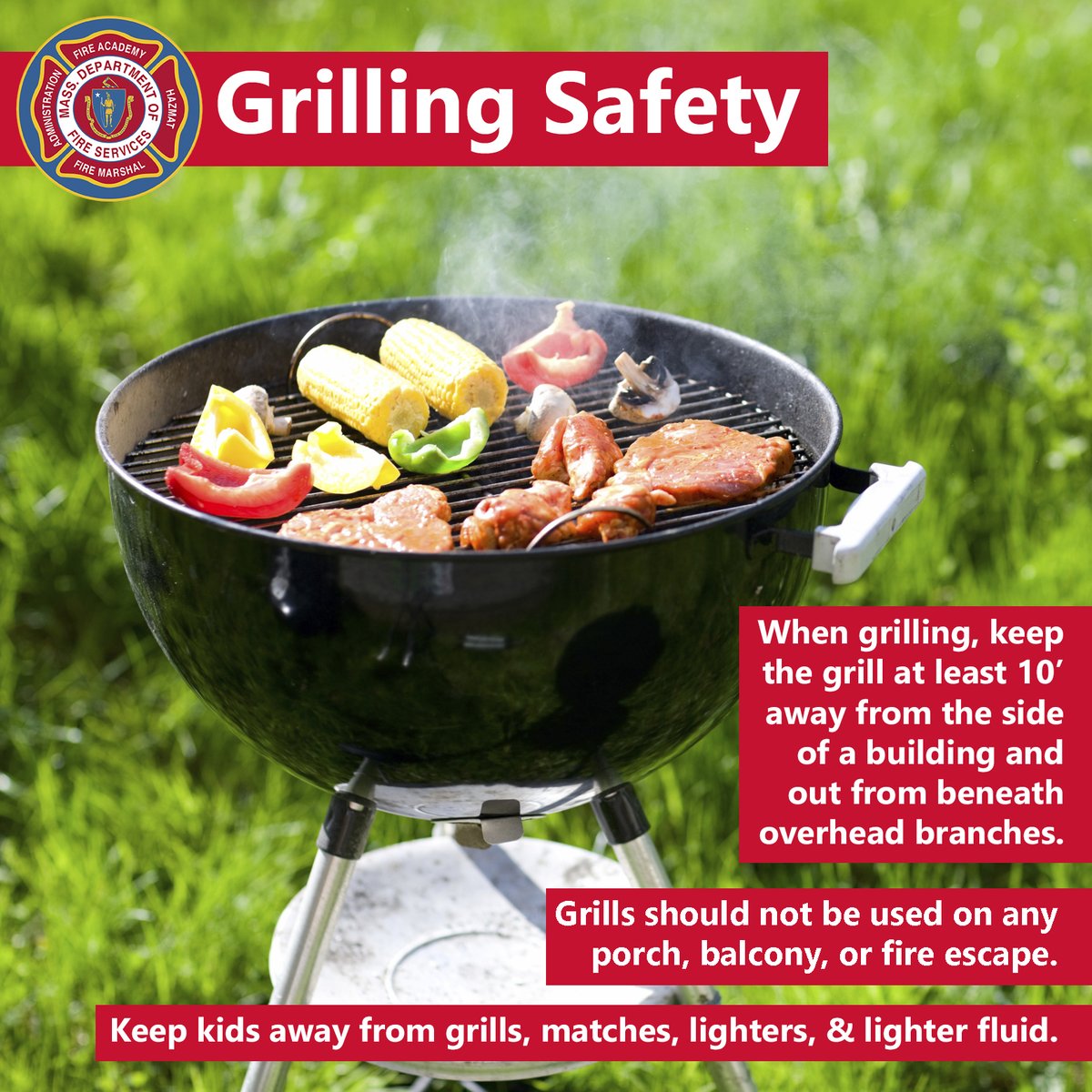
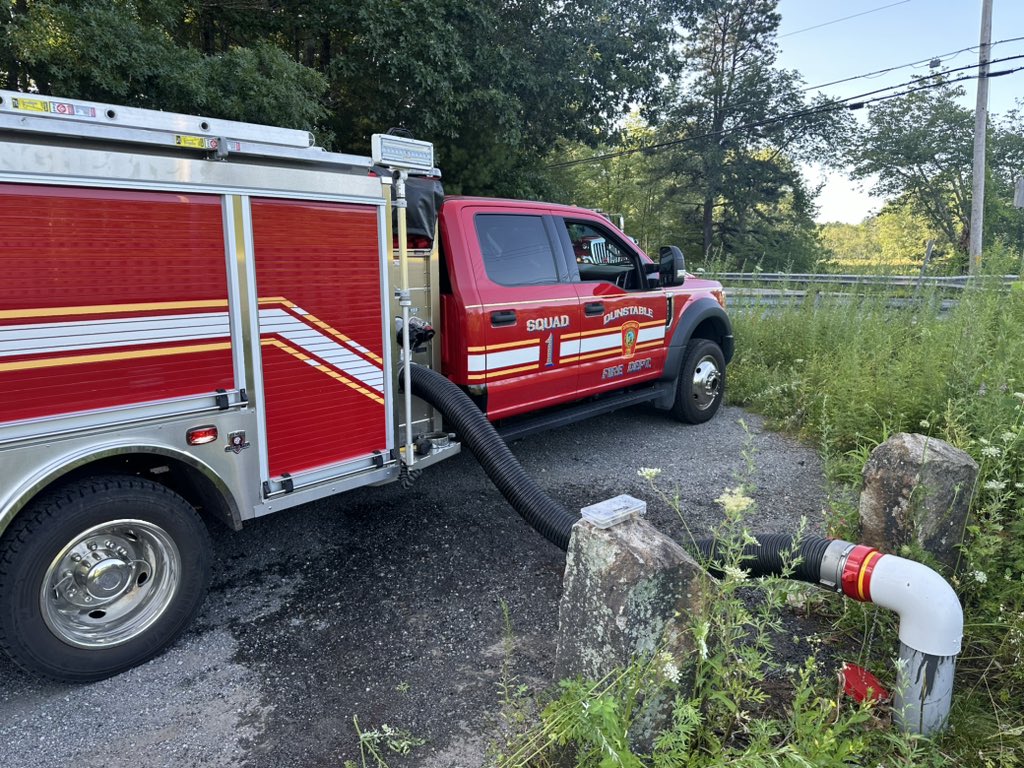
Cooking outside tonight? Keep grills at least 10' from the building and out from beneath overhead branches. Don't grill on porches, balconies, or fire escapes, and keep the young ones away from grills, matches, lighters, and lighter fluid: https://t.co/CYyaDViTJN
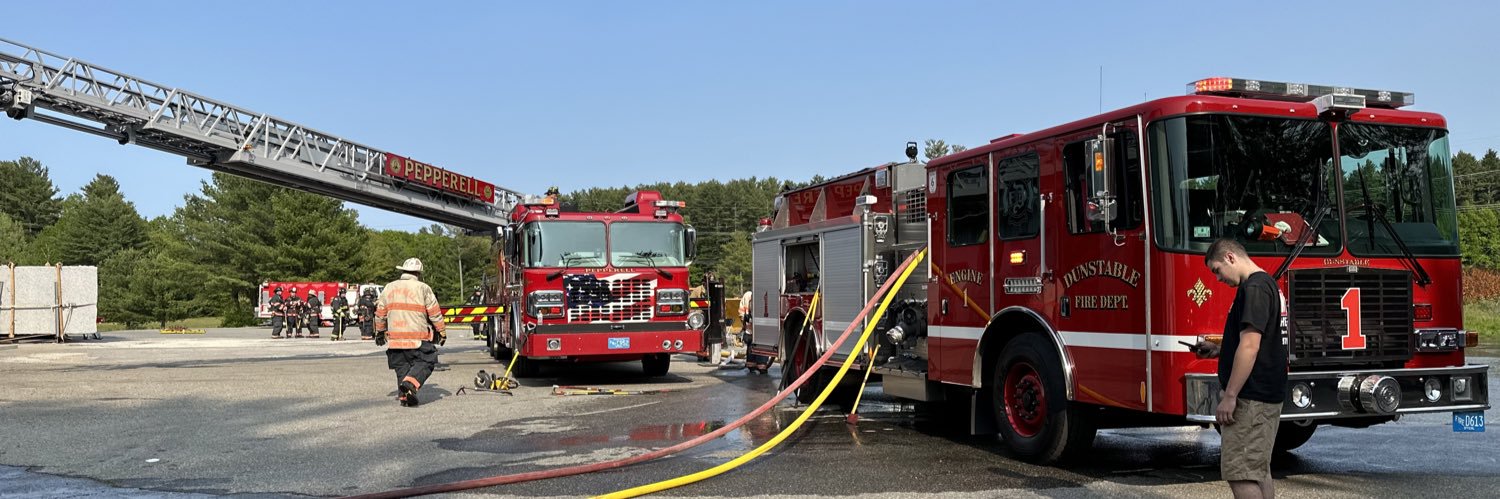
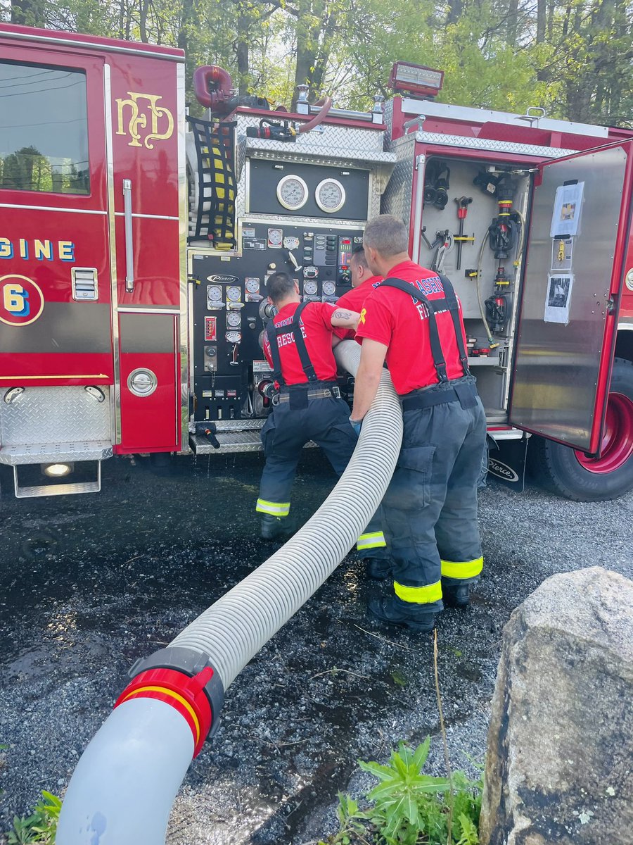
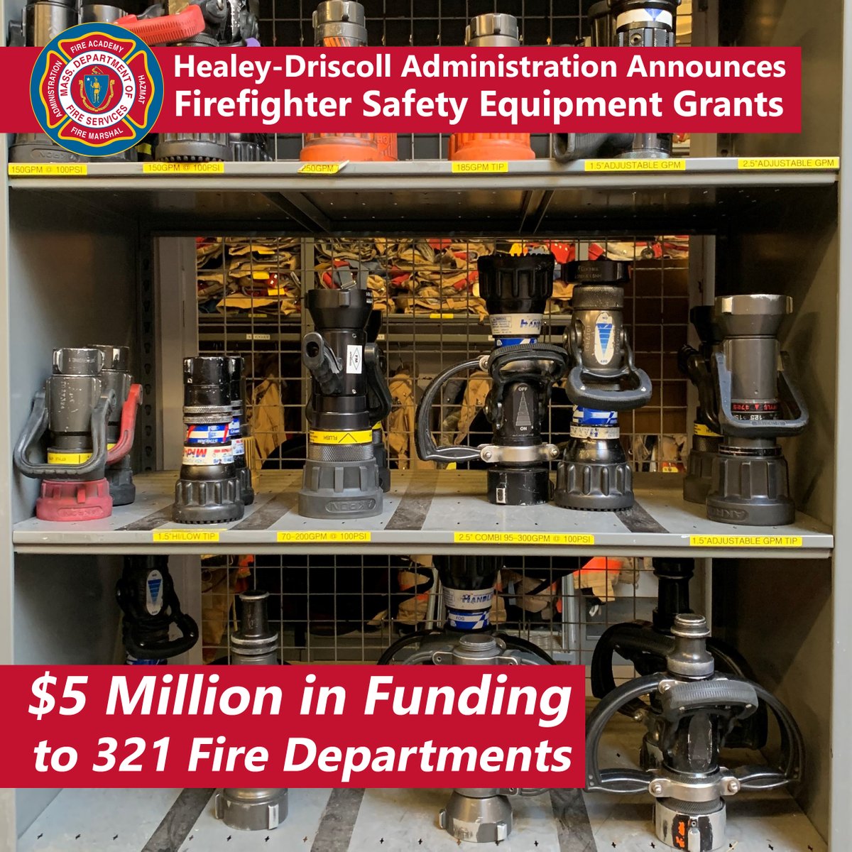
Today, @MassGovernor, @MassLtGov, @EOPSS, & @MassFireMarshal announced $5M in grant awards to support the purchase of safety equipment by local FDs. The FY24 Firefighter Safety Equipment Grants provide crucial funding for protective gear & much more: https://t.co/rzr4fHodn9
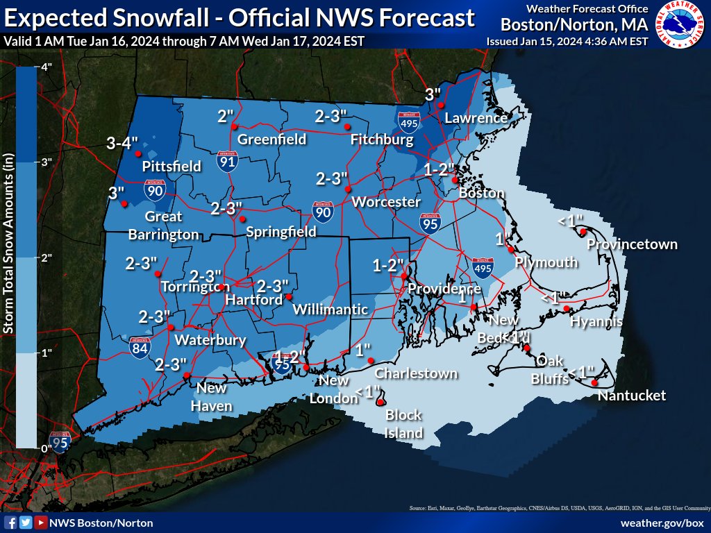
Updated: Monday, January 15th
Heads up: Snow expected around midnight with a chance of sleet, rain, and freezing rain during Tuesday morning commute. 1-3 inches of snow, possibly 4 inches in some areas, ending Tuesday afternoon/evening #MAwx#CTwx#RIwx
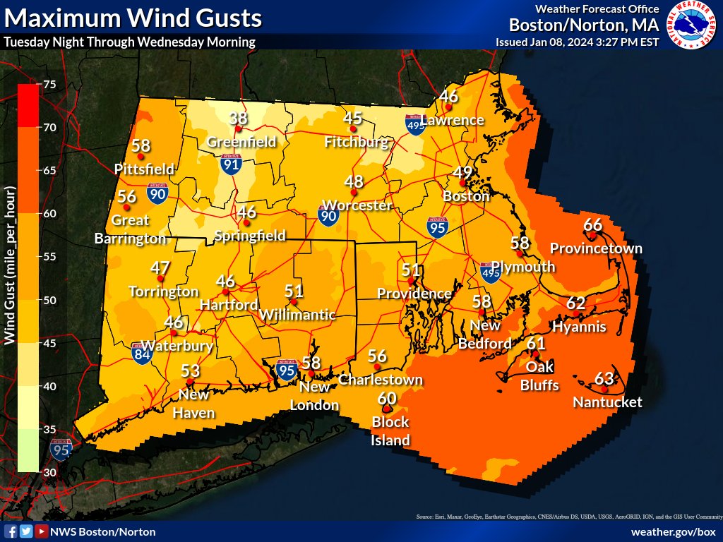
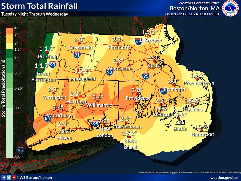
A strong storm system will impact New England Tuesday night into Wednesday.
-1 to 3" of snow Tuesday evening then switching to rain.
-2 to 4" of Rain, heaviest overnight Tuesday.
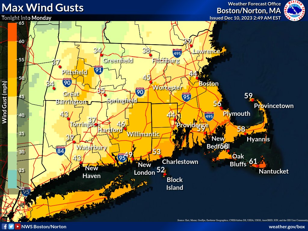
-45 to 65 mph wind gusts overnight Tuesday.
-River, stream, and coastal flooding possible.
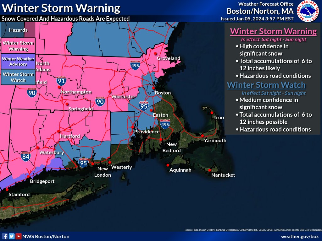
Winter Storm Warning
* High Confidence in 6-12 inches of snow
* Hazardous travel expected
Winter Storm Watch
* Medium Confidence in 6-12 inches of snow
* Rain snow line uncertain east of I-95
* Flash freeze possible late Sunday afternoon
* Hazardous travel likely
[Winter Storm Update] Not much change from previous forecast, with 6-12" of #snow remaining possible for much of MA, RI & CT. Latest trends suggest heavy snow may also fall in #Boston to #Providence corridor & possibly southeast MA. Greatest forecast uncertainty in dashed area.
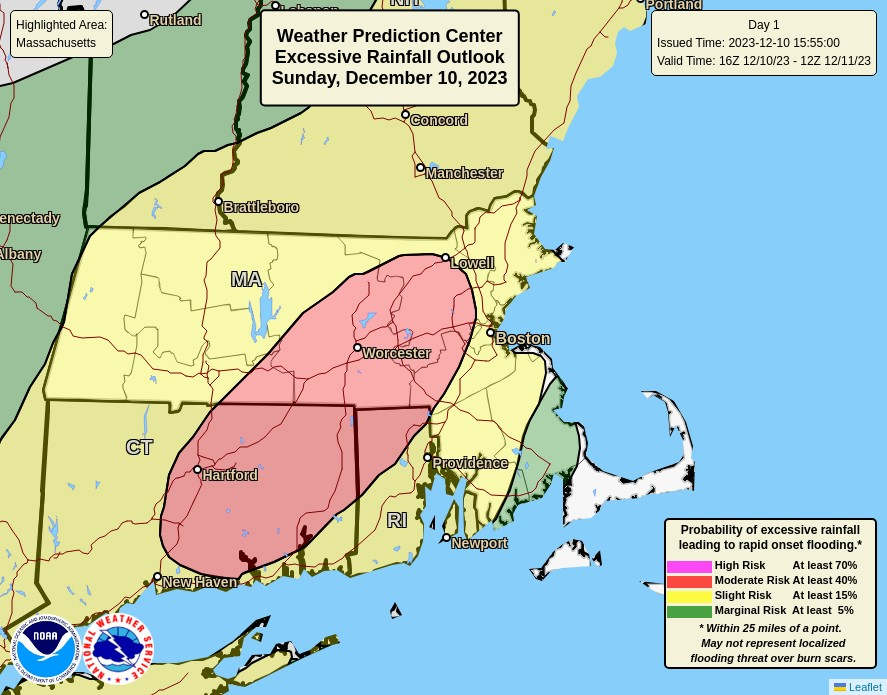
Portions of southern New England have been upgraded to a *MODERATE* risk for excessive rainfall through Monday morning. Between 3-6" of rain is expected in the area in red which may lead to urban, poor drainage, and flash flooding as well as rapid rises on small rivers & streams
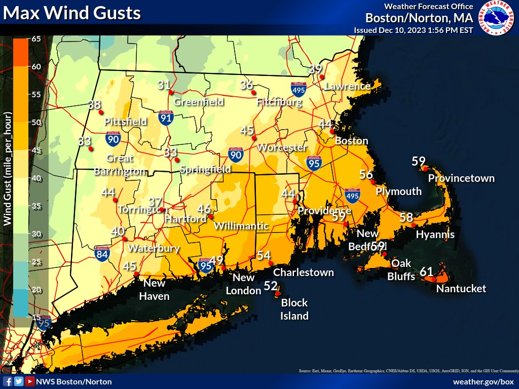
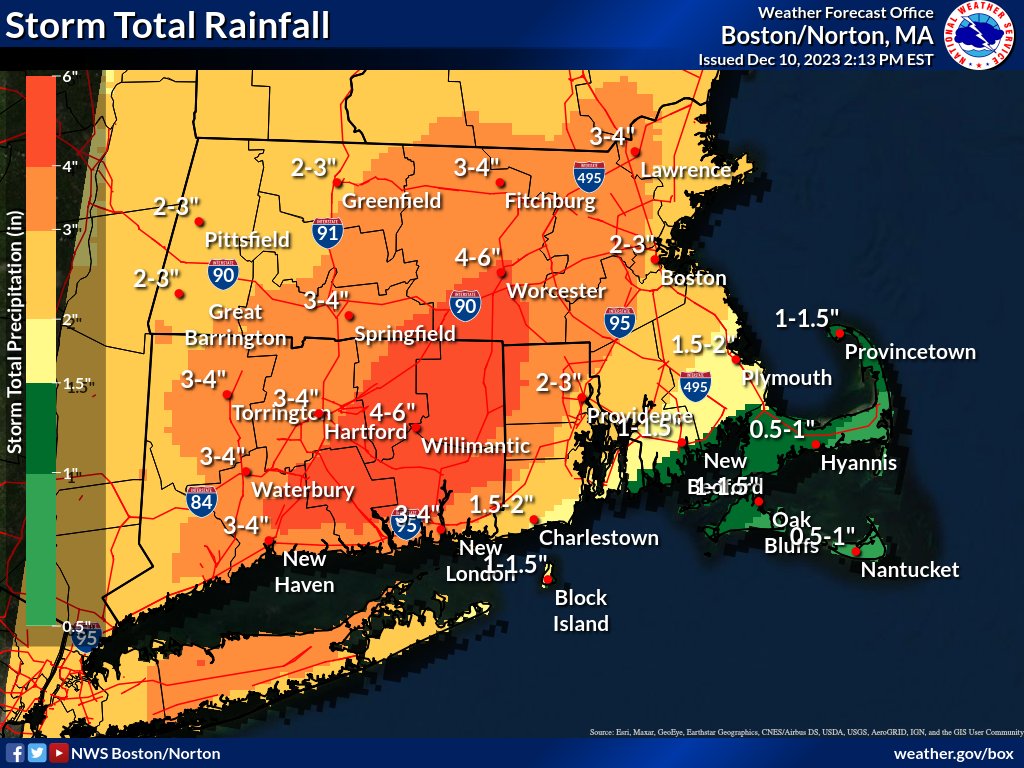
4 PM Sunday STORM UPDATE:
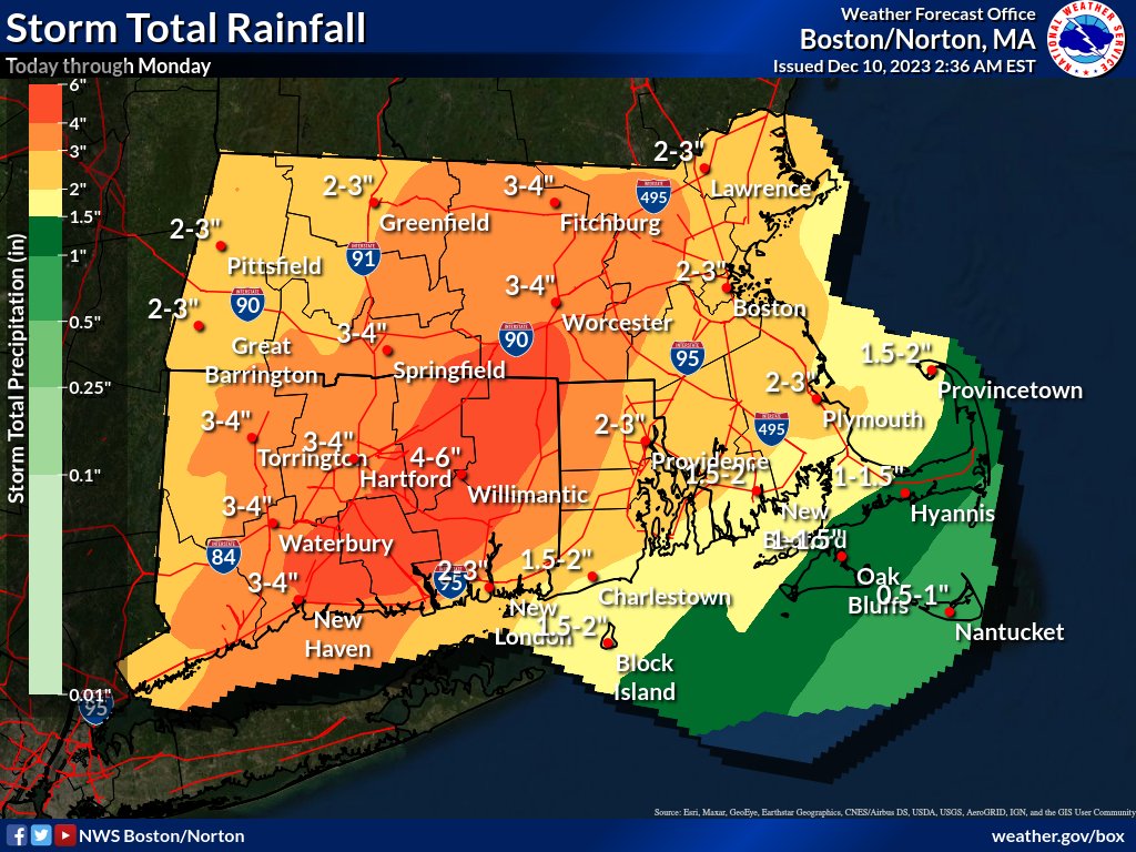
* 2-6"+ of rain, highest amounts across central MA and east-central CT. Flooding likely
*Wind gusts to 60mph possible across SE MA/Cape Cod
*Minor accumulations (1-4") of snow possible above 600" in western MA
*Coastal Flooding in Narragansett Bay
Here is an update for the strong storm that will bring heavy rainfall, possible flooding and strong winds to SNE later today into Monday morning. In addition, areas of minor coastal flooding is likely for areas adjacent to Narragansett Bay.


![NWSBoston's tweet photo. [Winter Storm Update] Not much change from previous forecast, with 6-12" of #snow remaining possible for much of MA, RI & CT. Latest trends suggest heavy snow may also fall in #Boston to #Providence corridor & possibly southeast MA. Greatest forecast uncertainty in dashed area. https://t.co/gIh27gxLS3](https://pbs.twimg.com/media/GDEb7KDa4AA2ojW.png)