A preliminary M3.9 earthquake just occurred northwest of Reno. We felt it here at our office.
Did you feel it? Help the USGS by filling out this form here: https://t.co/1lvosaTgDP
The Sacramento Bee interviewed CGS geologist, Tim Dawson, about the Almanor Fault Zone and the recent M5.5 and M5.2 earthquakes in Plumas County this week. #earthquake@sacbee_news@CalConservation
https://t.co/Z5F2Yuoowu
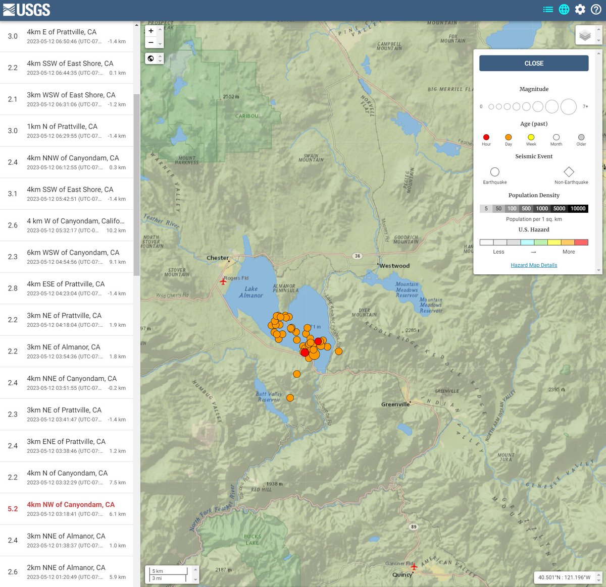
#EarthquakeReport for M5.2 ##Earthquake#Aftershock from yesterday's M5.5 in #LakeAlmanor
50 events since M5.5 mainshock (no foreshocks)
tectonic b/g in '15 Friends of the Pleistocene field trip guidebook:
https://t.co/GNWWPn8fGr
https://t.co/rdT4AYMa0T
@mrbrianolson A lot of folks said they felt shaking that lasted surprisingly long. It's been awhile since that area has had an earthquake of this magnitude. I wonder what the lag time is between attenuation of the seismic waves through the ground to body to brain.
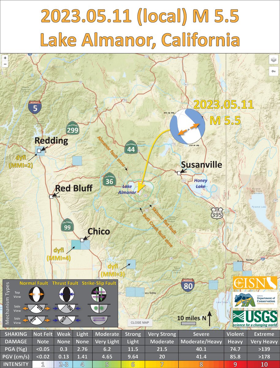
Updated map for the M5.5 earthquake in Plumas County, near Lake Almanor. Several M2+ aftershocks have been measured. Continued aftershocks can be expected. This quake was on a normal fault in the northern Sierra Nevada.
Did you feel it? Let us know!
A M5.4 earthquake occurred near Lake Almanor (Plumas County) in northern California. Shaking reportedly felt 120 miles to the south in Sacramento. A quake of this size can potentially damage structures near the epicenter. CGS is monitoring this area. #earthquake
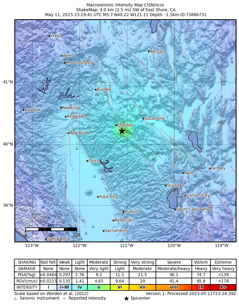
A preliminary M5.7 earthquake just occurred near Lake Almanor in CA. We could feel it all the way down here at our office just north of Reno.
Did you feel it? Help the USGS by filling out this form here: https://t.co/HvltEN2DjC
~now with pretty radar~ Turkiye surface rupture mapping fast and free! It's wildly preliminary, but hopefully getting this out quickly supports local work.
https://t.co/enLTNp33XZ
(thank you team, tagged here)
Altought faults are conventionally modelled as discontinuity of zero thickness, this example from Kahramanmaraş shows that #earthquakes do not occur on infinitely thin faults, but consist of complex evolving networks with one (or more) fault core.
Video credit: Muhammed Kösen
Drone footage in southern Turkey showed wide cracks slicing across fields, roads, streams and hillsides, caused by the massive earthquake that struck the region at the start of the week https://t.co/8HFqm8DMVY
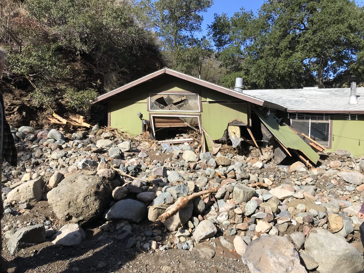
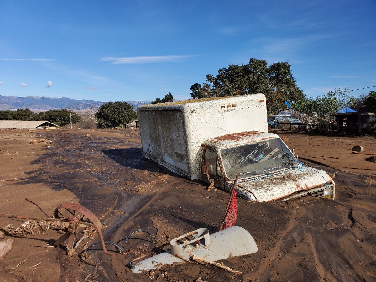
🚨The CA Geological Survey (@CAGeoSurvey) reminds residents living near sloped areas (especially those previously burned by wildfires) to be aware of the potential for dangerous, fast-moving debris flows during and after this week’s expected heavy rains. https://t.co/x3GodsdgOc
2023 Seasonal Fire Hire is here! The Humboldt-Toiyabe NF has openings throughout the forest for this year's fire season. Log onto https://t.co/hVP9nr0j24 ASAP to create a profile and apply or email [email protected] for more info! #wildlandfirefighters
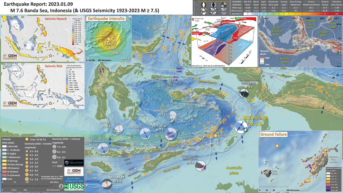
#EarthquakeReport for M 7.6 #Gempa#Earthquake offshore of Yamdena Palau Jamdena #Indonesia
high likelihood for earthquake induced liquefaction
interpretive poster
https://t.co/guKyNrPioC
https://t.co/umCLB3pPwL
read more about a similar event in 2020
https://t.co/DBTKHT6oYn