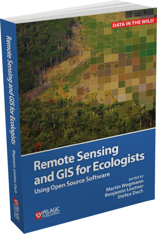
we finally submitted our book "introduction to spatial data analysis" w/ #qgis and #rstats to the publisher! thanks to all reviewers for many valuable comments!
so far #remotesensing data such as #radar#lidar or #hyperspectral was missing in our current book but will be covered in our upcoming advanced book https://t.co/pOPtTJv4Ao
In this week's @nature, Murray et al. analyse 700,000 satellite images mapping the world's tidal flats, finding that nearly half are concentrated in 8 countries and that 16% were lost between 1984 and 2016. https://t.co/7Gdes7f55w