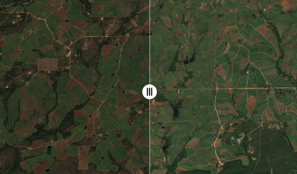
We are excited to announce the launch of our new service - #rollingGeoMAD. Produced on a monthly basis, using a three-month rolling window, it condenses three months’ worth of satellite viewing into a single, cloud-free composite image. Explore here https://t.co/9duKRJSKoj
The @youthmappers Technical Challenge, in partnership with #DEAfrica is still open for submission. #YouthMappers chapters and student's proposals societal challenge.
An awareness session takes place next Sat 15 Oct - register at https://t.co/H74Er2DmI3
@sdgstoday@EOTECDevNet
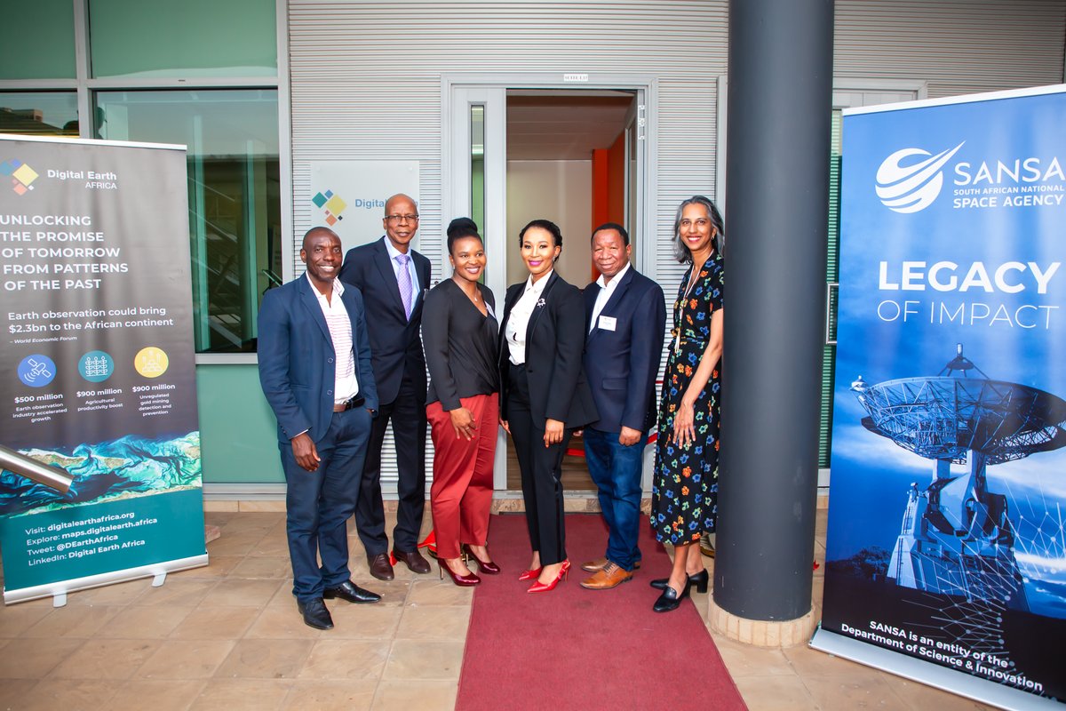
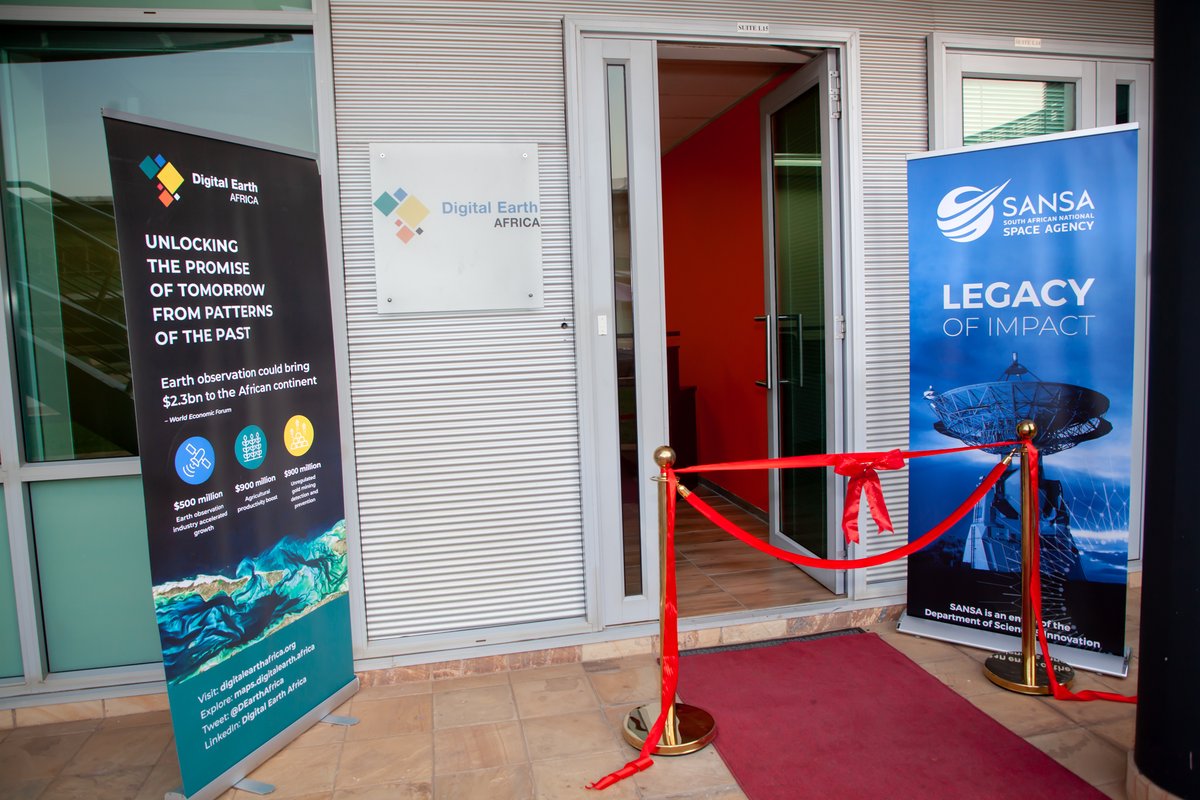
Last night was a celebration of the #DEAfrica Program Office on the continent! The launch event was attended by public & private sector officials, DEA Board members, our TAC members, implementing partners and staff. The #DEA Program Management Office is proudly hosted by @SANSA7
The #DEAfrica Sandbox is filled with #OpenSource notebooks and Python tools to enable Earth observation. They come pre-loaded with examples to guide users through analysis of #Flood risk, monitor mangroves, assess crop health and more.
Learn more here. https://t.co/GbLd0ppBdf
Meet @EdwardBoamah10 our Technical Manager based in Ghana. Edward is a brilliant trainer, facilitator and expert in GIS. Find out more about him here: https://t.co/Wks0QFiEiw
#NewTeam#Ghana#TechnicalManager
📣 We are delighted to announce that there are now 2,000 registered users in the #DEAfrica Sandbox!
Our Sandbox provides access to data and analysis tools to users across Africa, building capacity and supporting users to make an impact.
Learn more here. https://t.co/G7yuXOCanI
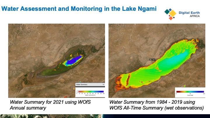
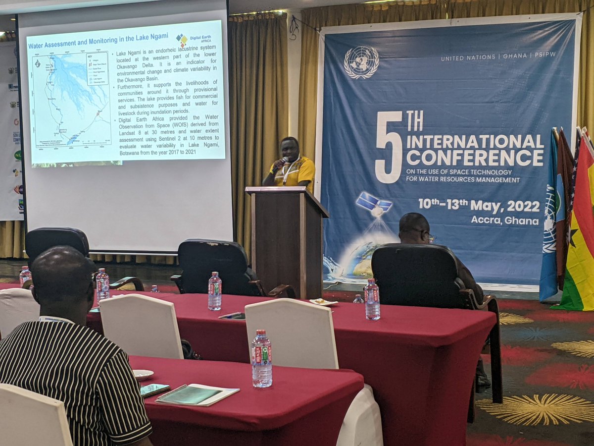
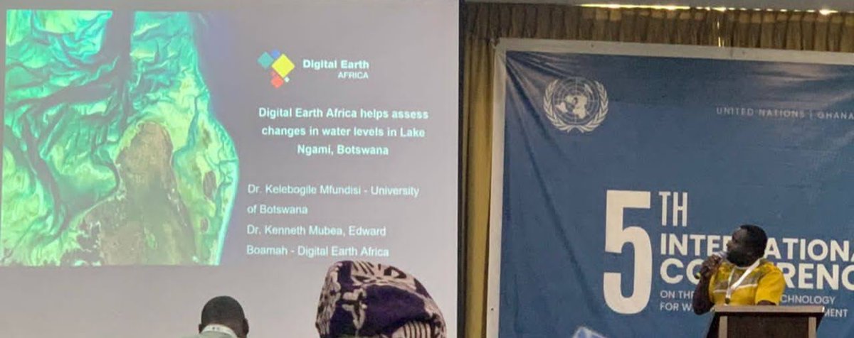
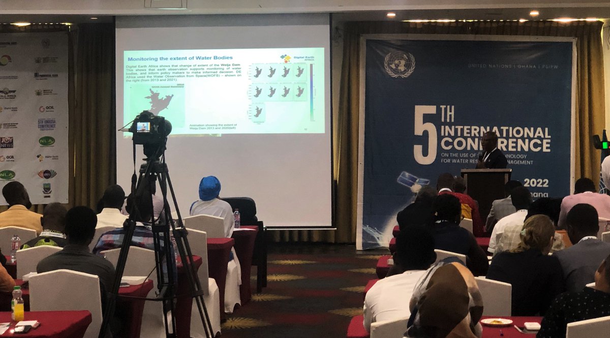
This presentation showed how the @DEarthAfrica platform can be used to inform policy makers on what is happening to our #Water resources and take actions to ensure this essential resource is well sustained.
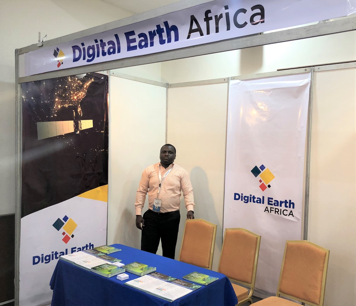
Visit Digital Earth Africa’s Information Booth at the 5th International Conference on the Use of Space Technology for Water Resource Management!
#DEA#DigitalEarthAfrica#WaterConference#UNOOSA
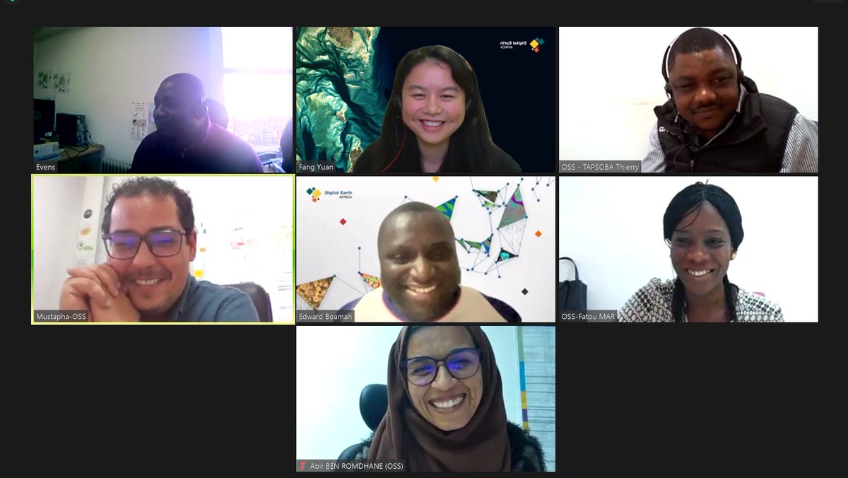
It was great to kick-off activities with our partners at @oss recently. We look forward to continuing to collaborate throughout 2022 with some exciting activities on their way. Looking good, team!
.#DEAfrica is excited to announce that the Cropland Extent Map now offers complete coverage of the entire continent for informed #agriculture insights. This an amazing achievement after 18 months of collaboration with partners across #Africa https://t.co/Awl0P2v2q9
.@DEarthAfrica and @StateSuza help Zanzibar fight the effects of climate change & protect the island’s precious mangrove habitat. See how in our new video series #ClimateNext 👉 https://t.co/uHG23peNK7 🛰☁️🌱 #ClimateChange#AWS
Did you see?👀
DE Africa's data and tools are being used by the government, researchers, students and the local community to inform conservation of the mangroves in Zanzibar. Watch #DEAfrica in action in the #ClimateNext documentary series by @awscloud. https://t.co/lKO8D2J34K