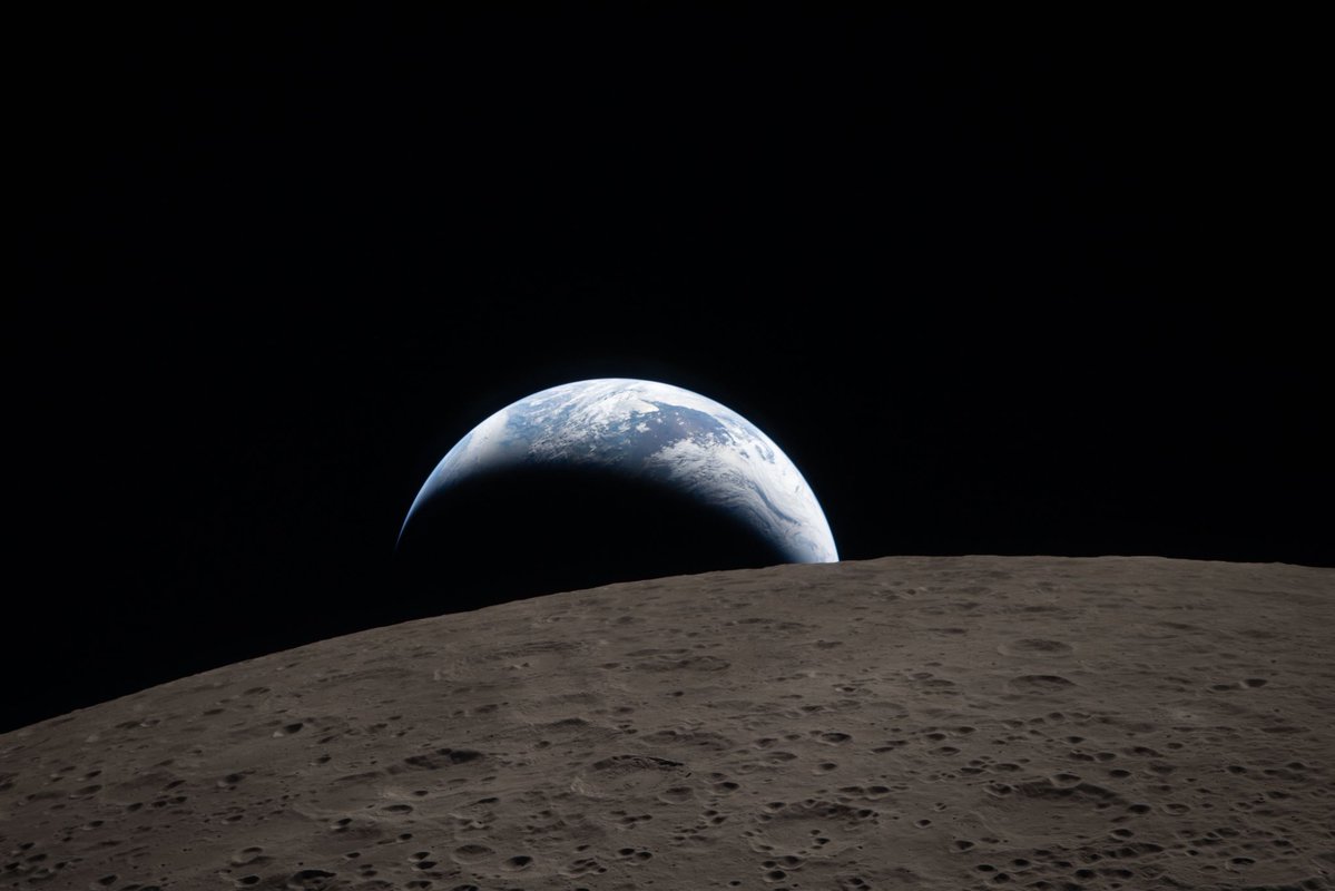
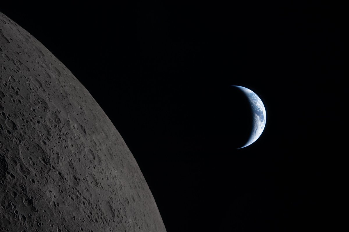
Think of the rivers of blood spilled by all those generals and emperors so that, in glory and triumph, they could become the momentary masters of a fraction of a dot - Carl Sagan
Showcase your brand on every report. Now you can easily add your own logo to PixElement's Polygon and Volume Reports, giving your deliverables a polished, professonal look that reflects your company.
#AerialMapping#DroneSurveying#Photogrammetry#Volumetrics#Reporting
PixElement 2.5.0 is live.
This release delivers new feature support, faster performance, and fixes that make your workflows more reliable than ever.
Upgrade now to take advantage of the improvements.
#PixElement#Update#ReleaseNotes#AerialMapping#Software
New at PixElement: export your polygon measurements as clean, shareable PDFs. Area, perimeter, coordinates, map previews — all in one report.
#DroneMapping#Surveying#Photogrammetry#PixElement
https://t.co/9tM10vx1wU
Happy 4th of July from the PixElement team 🇺🇸
Today we honor the courage behind our independence, and those who continue to defend it.
We build geospatial tools for the mission.
We build for you.
#4thOfJuly#MissionReady#DefenseMapping#BlueUAS#MadeInUSA
New in PixElement: denser point clouds, bare earth extraction from LiDAR, better processing feedback, and more. Built for real-world mapping workflows, on both cloud and desktop.
Read the full breakdown:
https://t.co/bxeMAItIes
#Photogrammetry#Geospatial#LiDAR#Software
Photogrammetry isn’t just data, it’s documentation, storytelling, and insight. #PixStories is a new series on how users apply PixElement in the field.
📖 Read more: https://t.co/zn78hldlWP
📤 Got a project? Submit it via the blog.
#PixElement#PixStories#DroneMapping
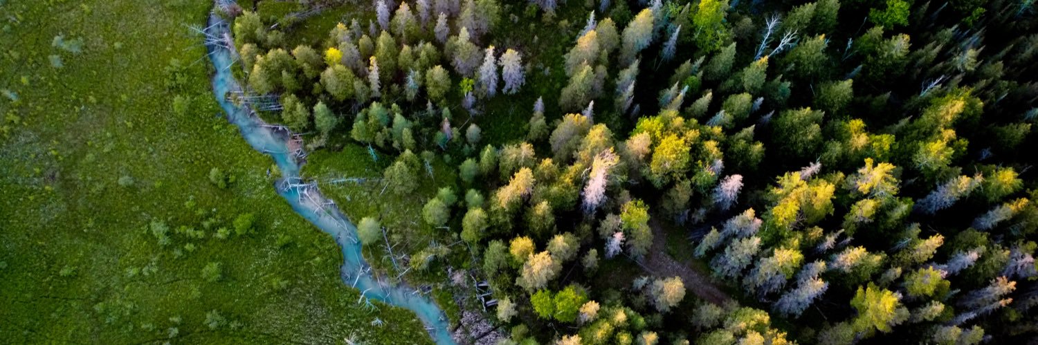
discovered Chinook salmon while flying my drone in Bush Bay (Narnia) in the Les Cheneaux Islands. This short film highlights their resilience and the beauty of nature’s cycles. Take time to step outside—nature always has a gift to share. #nature#drone
https://t.co/EEMFn62vvt
Refine your #photogrammetry with PixElement's new Edit Clipping Bounds tool! Crop datasets to focus on what matters—faster processing, cleaner models, sharper deliverables. Perfect for construction, surveying & more
#pixelement#aerialmapping#uas#drones
https://t.co/D6OpDTDFV1
PixElement CEO Ben Vander Jagt spoke at the #ASPRS Eastern Great Lakes Region Meeting, sharing insights on integrating LiDAR and photogrammetry for small UAS. Learn how PixElement tackles alignment, calibration, and sensor fusion for accurate 3D models.
https://t.co/qougLCectw
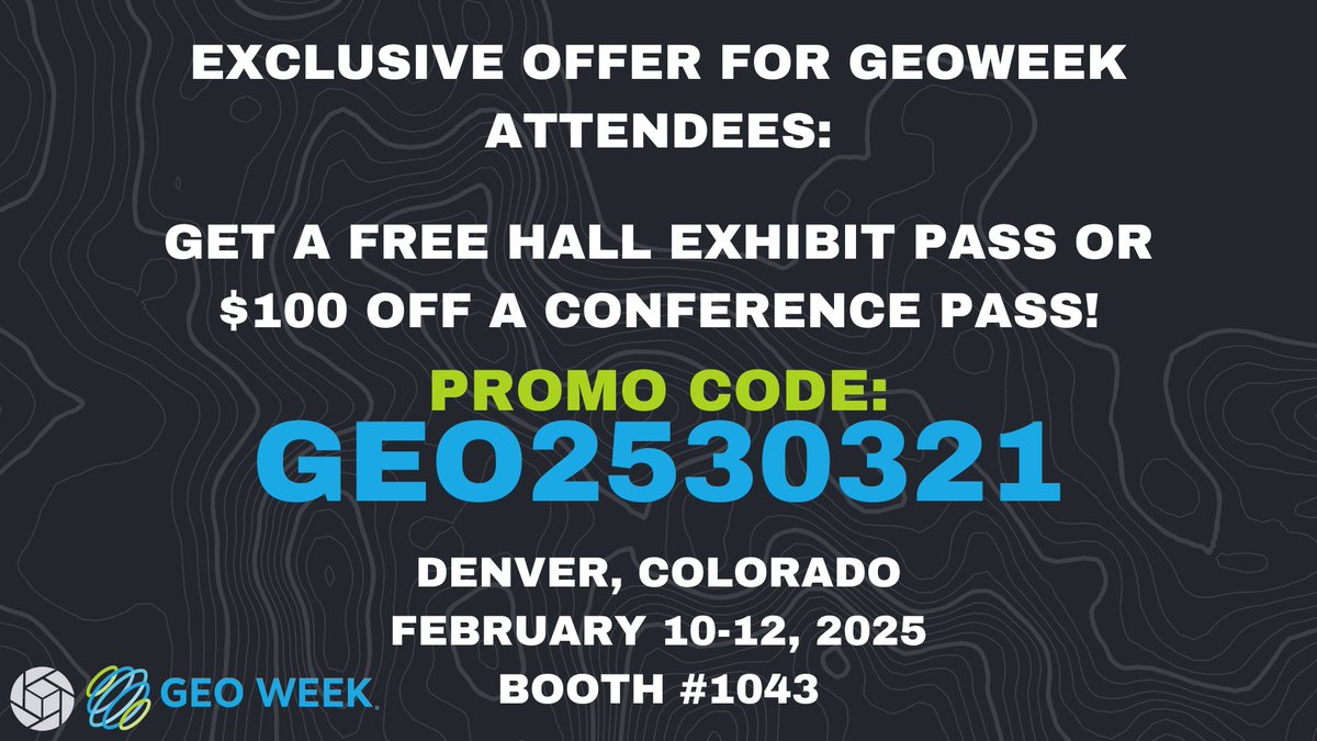
Join us at #GeoWeek 2025 in Denver, Colorado! Explore #geospatial innovation, meet our team, and see the latest in geospatial technology!
🎟️ Use code GEO2530321 at https://t.co/v09EiAsGpl for a FREE expo pass or $100 off a conference pass!
📅 Feb 10-12, 2025 | 📍 Booth #1043