The Evansville Tristate Skywarn Network's mission is to promote education, communication, cooperation, and safety among Skywarn spotters and the general public.
A Freeze Warning is in effect for much of the region tonight into Saturday morning. Low temperatures are forecast to fall into the lower 30s in many areas, and possibly as low as 28 degrees. Take the necessary steps now to cover or bring inside any tender vegetation.
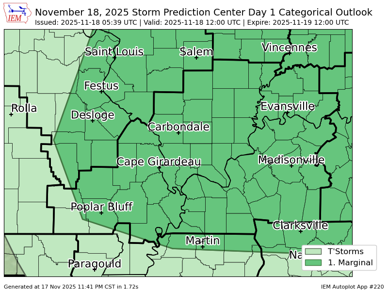
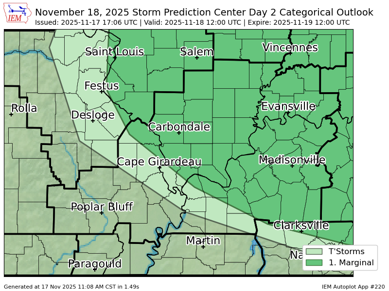
A few severe thunderstorms are possible across the region Thursday into Friday. Damaging winds and isolated tornadoes are the main concern. Gusty winds between 30-40 mph and over an inch of rainfall are also possible.
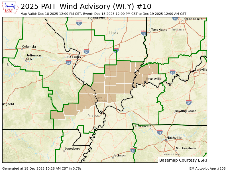
PAH updates Wind Advisory valid at Dec 28, 6:00 PM CST (expands area to include 22 zones, continues 36 zones) till Dec 29, 6:00 AM CST https://t.co/xxD7cHEPI3
Scattered thunderstorms are expected to redevelop this afternoon. Several of these storms could become severe with large hail the greatest concern. A few storms could produce damaging wind gusts to 60 mph as well and a tornado or two can’t be ruled out either.
Two rounds of severe weather will be possible on Tuesday. One round will be early in the morning with another round possible in the afternoon/early evening. Hail will be possible with both events; however, a couple tornadoes may also develop in the afternoon. Stay weather aware!