Much of the Western Florida panhandle is already seeing snow!!! This will work it's way into the big bend over the next couple hours, and create dangerous driving conditions along the I10 corridor
So how much snow or ice could we see? On the snow side, some locales could see over an inch, especially in northern communities. As for ice, that is going to work it's way further south into the Big Bend and will be VERY DANGEROUS for folks on the road. If possible, I would avoid travel after 3:00 this afternoon
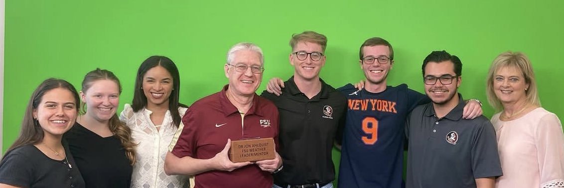
The Weathercasters Workshop is back! 🎉 On Nov. 9, @FSU_EOAS students had the opportunity to meet with top meteorologists, including #FSU alumni and industry experts like @JaniceHuff4ny, @AlanSealls and @bnorcross, to get hands-on feedback on their forecasting skills.
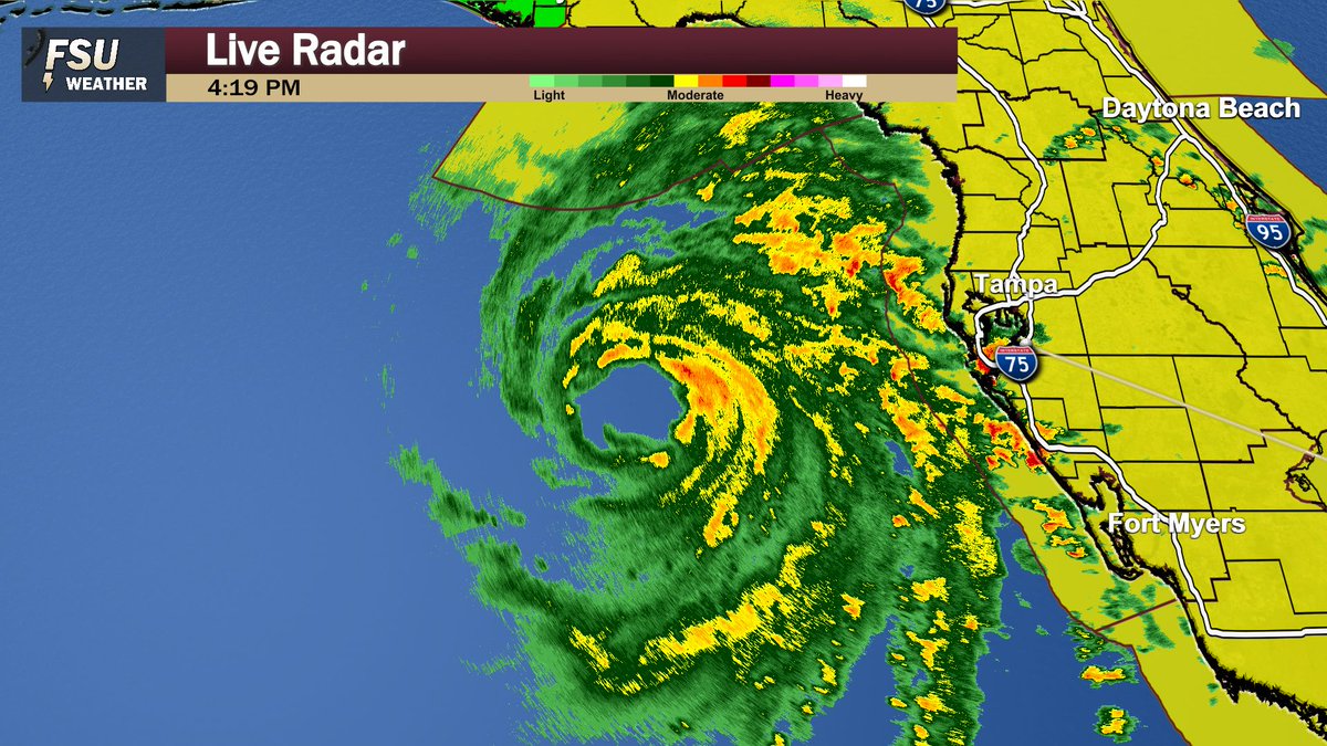
🚨 @FSUWeather student meteorologists are LIVE NOW from Tallahassee covering #Helene's landfall and will stay on the air until power goes out.
Please share to everyone to spread the word!
https://t.co/fWDoQq9LET
Helene is now a Category 4 hurricane with winds of 130 mph... Still a bit before this storm makes landfall, so we'll have to watch carefully for intensification.
🚨 This afternoon, @FSUWeather is doing live coverage from Tallahassee of #Helene's landfall. They are live right now and will break in throughout the day on YouTube as the storm approaches.
Please share so people can be made aware!
https://t.co/PQnrQ66eHR
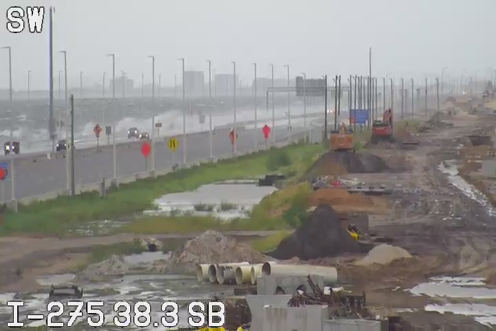
This is from the Florida 511 Camera near the Howard Frankland Bridge near Tampa and St. Petersburg showing the water coming over the barrier. Surprised the bridge is still open