Live-stream channel focused on major events, disasters, public safety incidents, severe weather, infrastructure disruptions, and emergency preparedness.
LIVE NOW: Tornado Watch Issued for NE, ND, & SD. I’m tracking official NWS warnings, radar, and area public safety. #Tornado#TornadoWatch#NEwx#NDwx#SDwx
Watch live on YouTube: https://t.co/7rLEgtrCL3
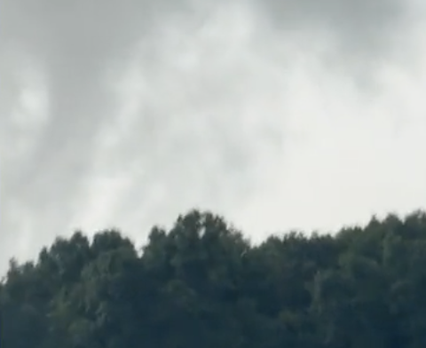
Tormenta extrema ayer en Colonia, Alemania 🇩🇪
🥵⛈️
Después de sufrir Alemania con temperaturas de 41ºC, una violenta tormenta golpeó ayer la Ciudad de Colonia.
#Canicule#OlaDeCalor#Storm
Créditos 🎥 #Köln
DEADLY FLOODING 🚨: At least four people are dead after rounds of dangerous flash flooding swamped the Ohio Valley on Saturday. The storms shift East today, which could lead to more localized flooding, especially in Virginia and North Carolina. #flooding#kentucky#east#rain #foxweather
HIGH PLAINS SEVERE: A brief tornado touched down this evening near Belfield, North Dakota. The severe weather threat will continue through the overnight hours, with all hazards remaining possible.
Damaging winds remain the primary concern, with gusts already near 90 mph in some areas. #NDwx
WATCH THIS SUPERCELL TWIST OVER KANSAS TOWN!
On June 10, 2026 I time lapsed and live streamed this spinning supercell over Woodbine, #Kansas just minutes before it dropped a tornado south of town.
Best storm I have ever pointed my #insta360 at! Have you ever seen something like it?
#stormchaser #stormchasing #weather #kswx
LIVE NOW: Tornado Watch Issued for NE, ND, & SD. I’m tracking official NWS warnings, radar, and area public safety. #Tornado#TornadoWatch
Watch live on YouTube: https://t.co/WD2lk1nCNn
LIVE NOW: Tornado Watch Issued for IL, KY, IN, MO.
I’m tracking official NWS warnings, radar, and area public safety. #Tornado#TornadoWatch
Watch live on YouTube: https://t.co/S5lIp582hK
Check out this epic timelapse from my drone of the tornado near Beaver condensing for the 3rd time before it gets wrapped in rain. Just mesmerizing structure! #OKwx