FliteGrid: Q&A Thread
Q: What is FliteGrid?
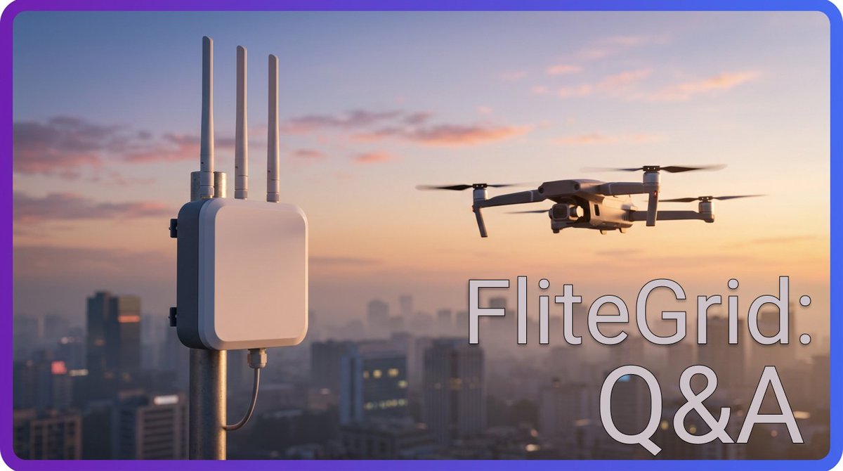
FliteGrid is a decentralized physical infrastructure network (DePIN) that detects, tracks, and identifies unmanned aerial vehicles. Its sensors monitor airways and read Remote ID data from passing drones, documenting their flight paths and capturing key identifying information. This data is then compiled on a platform for monitoring American drone traffic, which government and commercial entities pay to access.
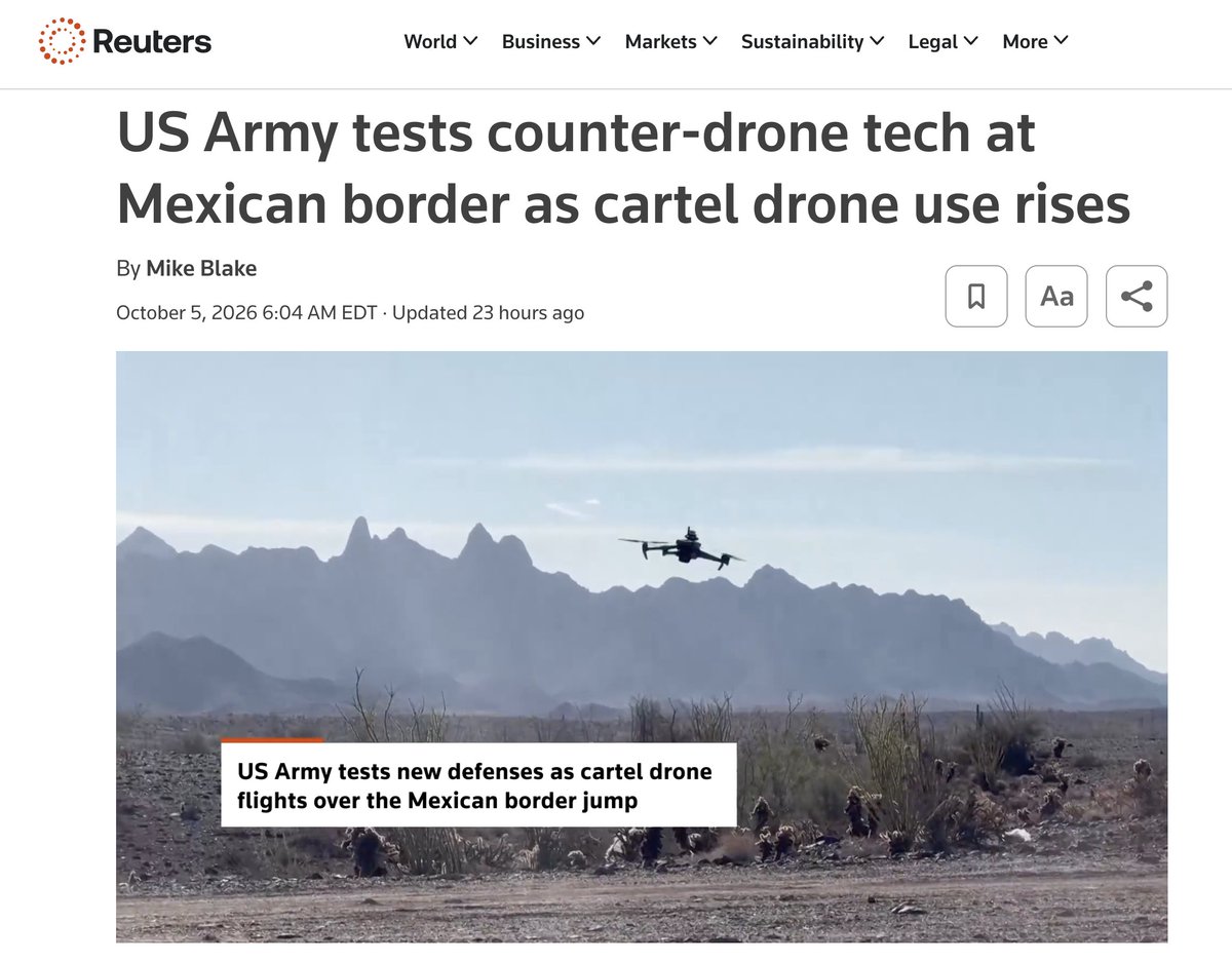
DRONE WATCH: The United States has restricted unauthorized drone flights at the US-Mexico border.
This type of ban can only be enforced with robust drone detection in place. That's why the US Border Patrol contracts with @SkySafe.
Federal officials have restricted unauthorized drone flights along the U.S.-Mexico border for one year, citing threats from cartels and risks to personnel conducting border security operations.
https://t.co/lTaeHjijOw
FliteGrid Updates:
.Hardware and specs.
Within two weeks, we’ll receive the next round of FliteGrid hardware prototypes - the production revision. These will be powered and recording drone data, at which point we can measure power draw and record exact specifications. We’ll put out a document containing this information at that time.
.Timelines.
Our current target is to deploy finalized hardware in test locations by mid to late November. Shipping timelines will be set after that, once the manufacturer confirms what they can deliver and when.
.Hex requests.
We’ve received around 1,600 requests so far for additional hexes to be brought online. A number of these will be unlocked in the coming weeks, and we’ll be performing reviews internally on a regular cadence thereafter. New hexes will be introduced on a predictable schedule and pending users will receive updates over email.
.Help us with a decision.
Hardware devices will be powered over PoE. Ethernet cables will not be included, simply because every deployment will require a different length of cable. Some users will need a PoE injector, and we’re deciding whether to include one of these based on the prevalence of need. Would you like a PoE injector to be included? Fill out this two minute survey so we can determine how much of the community would benefit from this: https://t.co/9zkClrH9xu
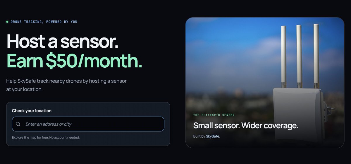
As always, any questions you have can be posed in our Discord channel at https://t.co/LmETQv1vyJ. If you’re interested in hosting a sensor on your roof for $600/year, you can check your location’s eligibility at https://t.co/SLpkN0WmD6.
Things are about to start moving quickly and we are very excited about the progress.
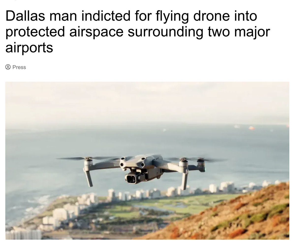
PSA: Don't fly your drone into a US airport!
If you live near one though, do check the FliteGrid hex map. You can earn $50 a month for monitoring UAV traffic in your area.
https://t.co/4WkufVKTRR
BIG influx of hosts yesterday after this great write up by https://t.co/968gq3ZYGY.
RTL-SDR is the world's longest running SDR news blog. If you've recently joined from their community, welcome aboard!
Updates to the Hex Map:
- Requested hexes are now visible on the map
- Custom referral codes can now be requested on dashboard
- Shipping addresses are editable post-claim
Appreciate your feedback! All update requests can be sent here or on Discord.
https://t.co/4WkufVKTRR
When we talk about active contracts with the DOW, DHS, and CBP, this is what we mean.
Cartels are using drones to cross our border, and @SkySafe helps alert the military to their presence.
Every time you deploy for FliteGrid, you add one more set of eyes.
The FliteGrid network has officially passed 1,000 hex requests!
Every hex is another node for the @SkySafe platform, bringing us closer to total drone visibility in America.
SBA has prioritized grants and financing for critical supply chains and NatSec-related businesses. Drones are one facet of this, and the push for UAV integration has only just begun.
As it continues, FliteGrid will be here - monitoring, coordinating, and building the foundation
The FCC has recently talked about American Drone Dominance, this is the stack I'd bet on:
1⃣ @GEODNET = The positioning layer for American drone infrastructure
2⃣ @HyfixAI = The chip layer, also led by Mike Horton (GEODNET's CEO), building the domestic alternative to DJI's logic chips with GEODNET's RTK corrections integrated directly into it
3⃣ @FliteGrid = The airspace awareness layer, a network of Remote ID sensors tracking drone activity in real time
You are not bullish enough🤫
What do FliteGrid sensors do, exactly?
They gather "Remote ID" data and upload it to the SkySafe platform.
Then, customers can pay to view the area around their facilities, giving them realtime airspace intelligence.
Check the screenshots for an example:
This is DoorDash Air.
As a pilot, I can tell you that you wouldn’t build a plane and then ask if it can carry cargo. So we built @DoorDash Air from the ground up, designed around what 13 years of deliveries have taught us: what people order, how much it weighs, and how far it has to travel.
Our drones are as silent as a passing car and early tests show that we’ve gotten flight delivery times in under ~5 mins on average, so you can get your @chipotletweets & @popeyes (our first partners) and local favorites right to you, fast. The first deliveries will be in NorCal.
We proved autonomy works on the ground. Now see how it works in the sky.
1. Claim your location on the website
2. We'll mail you a sensor
3. Plug it in
Earning $50/month has never been easier.
Check the hex map today: https://t.co/4WkufVKTRR
Drone Watch: The US Government is preparing for a massive buildup of domestic drone production!
Someone will need to track these drones and coordinate their flights - and you can get paid to help.
Request your location today at https://t.co/4WkufVLrHp
AMERICAN DRONE DOMINANCE 🇺🇸
President Trump’s policies supercharged domestic drone manufacturing with billions of dollars now flowing into production plants here in America.
Great to join the @SBAgov Defense Industrial Base Drone Summit today to discuss the FCC’s role.
How is FliteGrid able to pay in cash?
Because 100% of the revenue comes from active, paying customers!
To learn more about the clients you support as a host, check the press releases on the SkySafe website:
https://t.co/NcXpjyYD9E
Another weekend, another airport shut down due to drone incursion.
Not only can you help safeguard America against unauthorized UAVs, you can get paid to do it. Request your location on the hex map today and start earning $600 per year.