Interesting. The House Committee on Appropriations' new funding report directs US Forest Service, DOI, and EPA to publicize all information on the costs of activist litigation on the agencies and taxpayers, including:
-how much lawsuits cost each agency
-who's awarded payouts and how much
-the names of judges involved
-hourly rates of attorneys awarded fees, etc.
"The Committee believes the public has a right to know the resolution to court actions and how taxpayer funds are used."
And yet, today we have funded many gnat’s eyebrow efforts based on downscaled models. from..
https://t.co/izJR8irJOe
" Used future climate model projections based on downscaled high resolution precipitation intensity information, as an option for engineers/managers for climate resilient culvert sizing, provided by the Environmental Protection Agency under a memorandum of understanding with the USDA Forest Service. " multiply by zillions of such efforts and the associated bucks, which could have been used for more realistic efforts.
You might want to check out this Breakthrough piece "Alliance for the Wild Rockies—an organization with few employees and variable funding that sits well below half a million dollars per year—filed 84 suits against forest management projects from 2010 to 2024, or roughly 27% of all forest management NEPA cases in that period. Native Ecosystems Council—similarly small in staff and budget—filed another 53 suits. Collectively, these three organizations were responsible for just over half of all forest management suits during that period."https://t.co/kncP9zX1pc
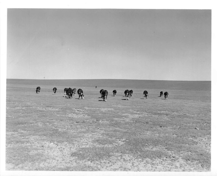
ARS scientists and the Collaborative Adaptive Rangeland Management (CARM) team are helping U.S. ranchers solve issues with excessive drought. Using the latest in data-driven technologies, ARS and CARM are enabling ranchers, farmers, and producers to better adapt to changes in land management practices during an era of variable weather. https://t.co/1RjYYwfAMC
@Oknowuk@atrembath@hausfath But no one claimed that Arctic, Antarctica rainforests nor non-proliferation were “everything” in the sense of megabucks to every scholarly discipline, changing the world from running on fossil fuels, and so on.Climate intends to reach into the pockets and behaviors of everyone.
@RogerPielkeJr@atrembath@ClimateFramo ChatGPT claims (or do we need another word for AI created statements?) that net zero targets are “science-based”? Is AI a giant GIGO exercise?
@RogerPielkeJr@atrembath But whose "social development goals" exactly? Probably not those of some countries.. hmm. countries whose scientists may not have been represented?
A big thank you to the more than 800 Wrightwood residents who participated in last weekend’s Chipping Days event! Together, approximately 300,000 pounds of vegetation were removed, helping reduce wildfire risk and create a safer community.
We also want to thank the Wrightwood Fire Safe Council and our valued community partners for their continued support.
Free Chipping opportunities continue this weekend:
📍 Saturday, June 6 – 1511 Devore Rd., San Bernardino
📍 Sunday, June 7 – 497 Lytle Creek Rd., Lytle Creek
Both chipping sites will be open from 10 a.m. until 2 p.m. We hope to see you there!
Maybe that’s why climate was centered for policy (not climate scientists themselves). Each country can, for the most part, work on its own biodiversity and make a difference.. “climate” requires some kind of supra-national institution in ways that other environmental issues do not.
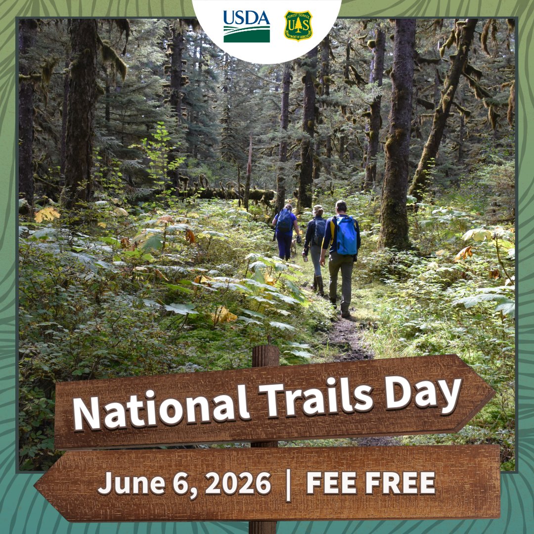
Get out and celebrate #NationalTrailsDay on the thousands of miles of trails that connect people to their public lands. Lace up, get outside and enjoy the trails that belong to all of us on this fee-free day!
@matthewgburgess@profgoose Many, many modeling exercises in a variety of fields do not have a “reality check” and feedback loop, including ones used in management. Should be a requirement at the using end of model results, not necessarily the production end.
This Saturday is a major trail work volunteering event. Kick off America 250 with some service to your country. Maybe you’re unhappy about how some trails near you look? Go fix them up. American Hiking Society has a big list, or your “Friends Of” group will be doing something.
#DidYouKnow you can scan a QR code to pay for select first-come, first serve recreation sites with the https://t.co/pRxQ4Uc92j mobile app? With the app, you can use your phone to scan the QR code and pay immediately, with or without service! Learn more: https://t.co/DZRlmXip0R
🌲 When we talk about forest health, we mean ALL of it.
Grasslands, wetlands, shrublands, and desert ecosystems are all part of the picture. In California, these are all “forests,” and they all require science-based management and care.
CAL FIRE protects more than 31 million acres of California’s diverse wildlands. That includes the dense timber forests most people picture, but it also includes every other landscape that shapes fire behavior and community safety across the state.
🌎 This World Environment Day, we’re celebrating the full variety of California’s forests. Forest health is the foundation of everything we do.
#WorldEnvironmentDay #ForestHealth #CALFIRE
#WildfirePrevention #HealthyLandscapes
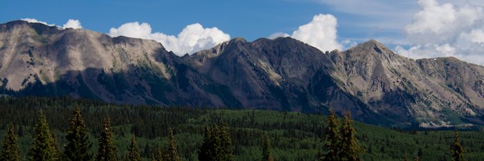
The Forest Service cares for one of the biggest trail systems on the planet — long enough to wrap around Earth more than six times. National Trails Day this Saturday is the perfect time to visit a national forest. https://t.co/gLThkGE9DP
Out in remote country, RAWS work quietly 24/7, tracking wind, temperature, humidity, and other key weather data that help firefighters and fire managers operate safely and effectively.
RAWS, or Remote Automatic Weather Stations, continuously collect on-the-ground observations that support fire weather forecasting, operational planning, and critical decision-making in the field. There are more than 2,400 permanent stations across the United States, Guam, Puerto Rico, and the U.S. Virgin Islands, along with 75 portable units that can be deployed during wildfires, prescribed burns, or post-fire projects.
Behind every reliable data point is a dedicated team of technicians working year-round to keep these stations accurate, maintained, and functioning. Sometimes that means flying by helicopter to a remote mountaintop to install an Incident Remote Automatic Weather Station (IRAWS), ensuring firefighters have access to critical weather data in the field.