Special Interest Group for ICT @The_GA #GIS. Sharing web based resources, sites and apps to #TeachWithGIS#geographyteacher#ITE Global ideas for education.
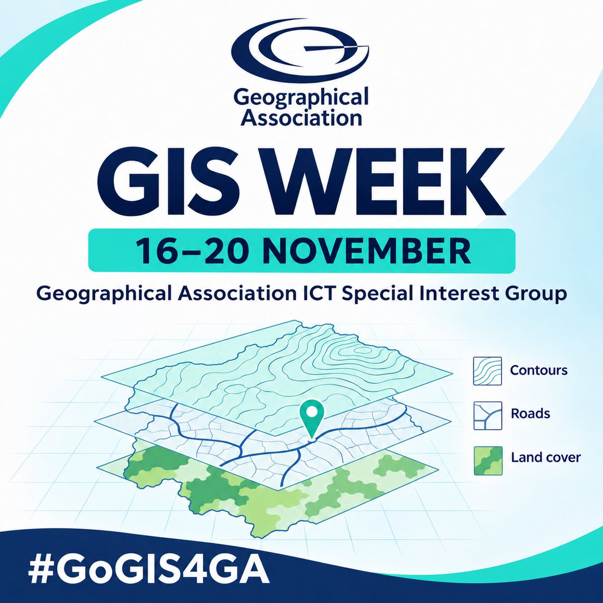
Inspiring GIS in Geography Classrooms! 🌍Excited to launch #GoGIS4GA - celebrating GIS Day on 19th Nov by showcasing how GIS brings geography to life! Share your lesson- ideas and maps to explore what's possible see #30DayMapChallenge to help and @The_GA#GeographyTeacher#ITE
Hexagons of Grammichele, Sicily, Italy
🏦 #PlannedSettlement built in 1693 after #earthquake destroyed nearby Occhiolà
👟Walking route 5.34km/3.32mi planned and visualised with #GIS Geo Mapper
#GoGIS4GA
https://t.co/IH5aB5A1Et
#30DayMapChallenge Day 20: Hexagons
@gasigict GIS Week: The power of layers #geography#geographyteacher - bring different layers of geopatial data together to reveal patterns and relationships. In this example add volcanoes, earthquakes and tectonic plate boundaries in ArcGIS. Switch the layers on and off to explore the patterns and relationships.
What do you notice? No GIS expertise needed to get started! #GoGIS4GA #GISWeek #GeographyTeaching https://t.co/si930WPOQ8
Happy #GISDay! For #GoGIS4GA, I’m highlighting @OakNational ’s approach to GIS. It is treated as a core geographical skill, woven through the curriculum from primary onwards and connected to contemporary geographical practice. Explore Oak’s GIS resources: https://t.co/xWJkffhf3H Oak’s specialist-designed GIS lessons help teachers build confidence without needing to be GIS experts. Pupils use digital maps and data to visualise information, investigate patterns and answer geographical questions. The focus is on geographical thinking, not mastering software. @mildthing99 #GIS @gasigict@BobLangGeog@igeogstmarys@The_GA
⤵️ Roads to Nowhere ⤴️
📏 How far is it to 'Null Island' from sovereign states?
📏 Who is furthest and who is nearest to nowhere?
📏 Desire lines generated in #GIS#GeoMapper2DPlus#GoGIS4GA
https://t.co/5sLW1YsNFV
#30DayMapChallenge Day 18: NULL
GAICTSIG #GIS Week - Layering geospatial data using GIS helps geographers reveal patterns and relationships between places and processes. In our classrooms, GIS gives teachers a visual, interactive way to bring geographical connections to life and help students investigate how the world works. Find out more on the Teach with GIS Homepage https://t.co/avQfOJZDpV @gasigict@The_GA #GoGIS4GA @mildthing99@igeogstmarys@BobLangGeog
Seismic tomography > see inside Earth
#Tectoglob3D by Philippe Cosentino🙏
e.g. Challenger Deep deepest point in Marianas Trench is c11000m (c36,120 ft) Micronesia where Pacific Plate subducts beneath Mariana plate
#30DayMapChallenge Day 15: Inside Out
🔗https://t.co/R2qPJE60xx
'The Garden of Forking Paths' (Borges)
❓ Is LiDAR approaching cartography 'so exact that only a map on the same scale as the empire itself will suffice'? #fractals
🙏 @IGN via CutSheetRX
https://t.co/y9JpdERoSY
#30DayMapChallenge Day 14: Borgesian map
🆕#GeoCartogram visualises 'power' indices
❓How can we measure 'power'?
❓How does the 'power' pattern change over time?
#GeoCartogram visualises 'power' indices by proportional area. Inspired by @geoviews🙏
#GoGIS4GA#30DayMapChallenge Day 12: Power
https://t.co/BcUeGZBuGw
Geo Counties...or how vibe-coding is a game changer!
🆕 A new app created with just1️⃣prompt in @Claude AI which took 22 mins
✅WWW = A great little app!
❌EBI = improve colours; some data missing
#30DayMapChallenge#GoGIS4GA
Day 10: Prompting only
🔗 https://t.co/7KRA6cN2Hh
Take part in the #30DayMapChallenge and see how mapping can spark creativity, curiosity and geographical thinking. In this new blog, discover how one geographer approached the challenge, the skills it developed, and why it can be a rewarding activity for teachers, students and map enthusiasts alike.
Read the blog and get inspired to create your own maps.
Link: https://t.co/YfBo1OSFjB
#Geography #Mapping #GIS #GeographyEducation
With next week's @The_GA GAICTSIG GIS Week celebration, to coincide with International GIS day on Weds 18th November, this blog https://t.co/jSSHxsyiAI from GAICTSIG's very own @mildthing99 is very timely! 8 great ways to incorporate GIS in to your lessons and your classrooms. #GIS #Geography #Spatialthinking #geographyteacher
Great to reconnect with colleagues at this morning’s online meeting of the Geographical Association’s ICTSIG. @gasigict@The_GA. Keep an eye out for details of how you can get involved in the @GA volunteer groups. #geography#geographyteacher GIS Day is next Wednesday 18th - keep an eye out for lots of things GIS over the next week! @GISEd
Next week the @gasigict@The_GA ICT Secondary Interest Group is sharing a week of ideas and inspiration to show how GIS can bring geography to life in the classroom across social media channels and International GIS Day 2026 takes place on Weds 18th. Layer up, see what you discover, and help us spread the word. #GoGIS4GA #geography #geographyteacher @RGS_IBG
⏱️#30DayMapChallenge Day 7: 10 minute map
IoW supermarkets #GIS#GeoMapper2DPlus
Students map supermkts in small areas + config symbols w filtered data from the fab @Geolytix dataset
Novices <10m + config in 20-25m; Demo took 7m 45s (shown x10) #GoGIS4GA
https://t.co/Uys1Ihfi58