"If we can't see it, we can't solve it" - the key to identifying extreme areas of child growth failure in Africa is higher spatial resolution in published studies @KofiAnnan https://t.co/GUi9KjXjdH #precisionpublichealth@IHME_UW
Did you miss the Webinar on Spatial Data on the Web and INSPIRE?
Don't despair the slides and related documents are available at: https://t.co/mHyv1qsmW6 #inspire_eu@EULocation@EU_ISA2 @portele
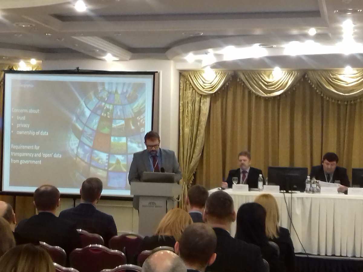
Delighted to join members at this week's NSDI event organised by State Service of Ukraine for Geodesy, Cartography & Cadastre & Japan International Cooperation Agency (JICA). Plans for #European#Location Services & #OpenELS were well received.
SIRENE: system that collects, queries, and analyzes geographic information provided voluntarily by observers directly in the field (volunteered geographic information (VGI) reports) to identify potentially critical environmental conditions https://t.co/ckr5Hw77yI
New article @IJDRS: SIRENE: A Spatial Data Infrastructure to Enhance Communities’ Resilience to Disaster-Related Emergency - Abstract Planning in advance to prepare for and respond to a natural hazard-induced disaster-related emergency is a key action... https://t.co/36S9R72FlF
To support organizations on their path to 'open by default', @EU_DataPortal put together a practical guide: "#OpenData Goldbook for Data Managers and Data Holders." https://t.co/CMhdMWiIoX
Data-based economy is growing at a phenomenal rate; #geospatial is set to drive the next industrial revolution. Check out what Esri Canada SDI director, Gordon Plunkett, has compiled for the February edition of SDI Interesting Reads: https://t.co/8mtmWUQvqy
Our #AdministrativeBoundaries dataset has eight themes incl. Australian Bureau of Statistics boundaries, electoral boundaries, state & territory boundaries, local government areas & suburbs. It supports a wide range of segmentation & analysis activities. https://t.co/hD2GUJb2AK
Malaysia: 8th National Geospatial Information Symposium, 10-11 July 2018, organized by National Geospatial Data Infrastructure Center @MaCGDI to create a forum for sharing information and experience across the geospatial community
https://t.co/Rzn3KtNnHW
Iraq: International Consultant (GIS Expert) sought to Provide technical support - design and implementation of Iraq Spatial Data Infrastructure #SDI. Deadline Feb 28th https://t.co/a8hzuESL0M
Canada: Tender notice - Canadian Geospatial Data Infrastructure (CGDI) Implementation of the Discrete Global Grid Systems Standard (DGGS) (NRCan-5000036411).
Date closing 2/27/2018 https://t.co/7faNVQ2MoI
Kyrgyz Republic:
Consultancy - Taza Koom Framework - Legal Support to Digitalisation of Geospatial Information (National Spatial Data Infrastructure #NSDI). Closing date March 6th https://t.co/ofsGgG6zKq
How to deal with a growing volume of big geospatial data streams? Our versatile platform addresses a range of issues, form large scale batch processing to interactive visualisation and analysis https://t.co/ycclIYViAV https://t.co/GtMglCtZfu #H2020