📣 Special Call: Join #IODP3 Expedition 507 #GLACENS!
Expertise sought: 🔹 Macrofossils & malacology 🔹 Glacial sedimentology 🔹 Optically stimulated luminescence
🗓️ Apply by 30 July 2026, 23:59 GMT.
🔗 More info & apply: https://t.co/R8D94fcQr5
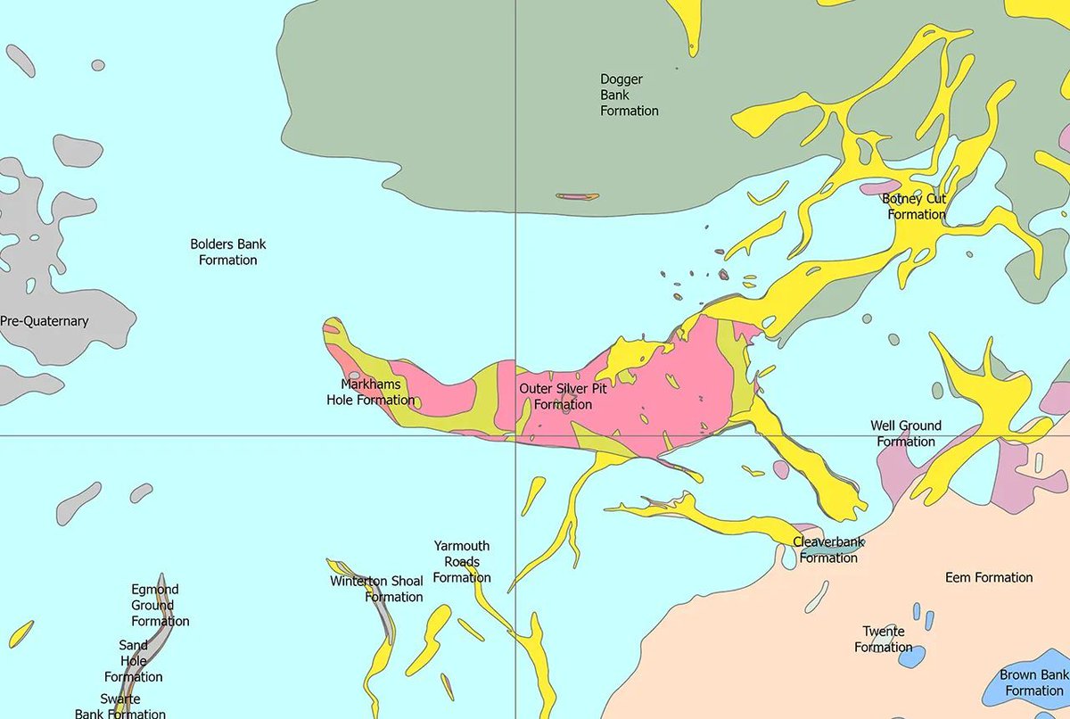
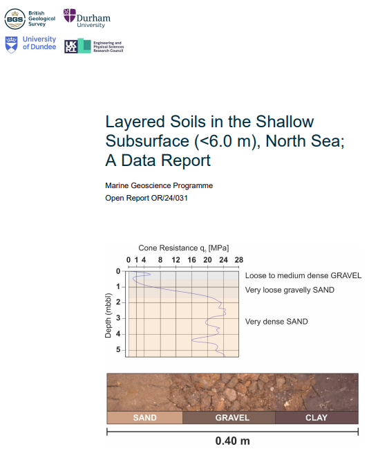
Quaternary UK offshore data digitised for the first time.
The dataset will help users, particularly those in the offshore renewables sector, and can be used for reference when completing site investigations.
Learn more:
https://t.co/0uTN9ZpDJp
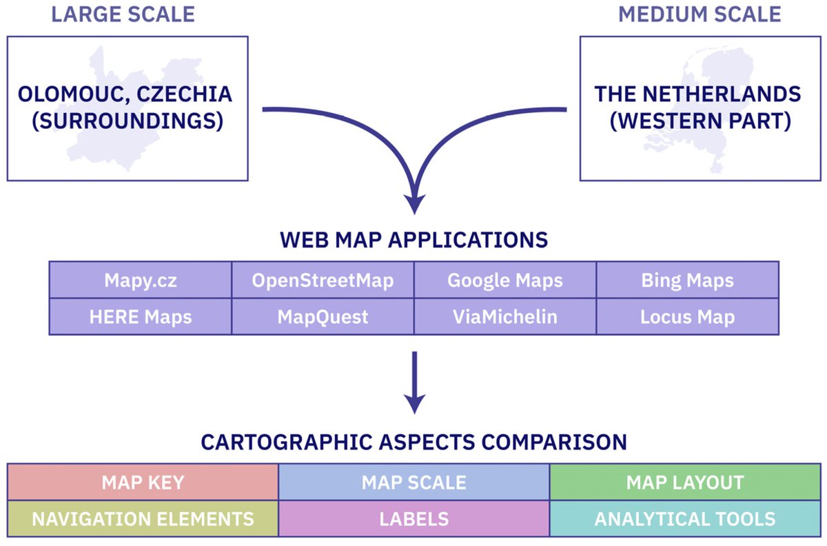
📘Exploring Cartographic Differences in #Web#Map Applications: Evaluating Design, Scale, and Usability
By Jakub Zejdlik and Vit Vozenilek
👉See the paper: https://t.co/l6Lh6SM6eh
#cartography#webmap
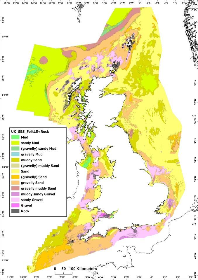
BGS has developed a new national-scale BGS Predictive Seabed Sediments (UK) dataset based on around 40K sample measurements. The maps are aimed at supporting offshore activities including shipping, mineral assessments, & offshore infrastructure siting.
https://t.co/KpCrG7ItQs
#Geoengineering is not the way to address #climatechange in the polar regions.
Our review of 5 prominent polar geoengineering ideas concludes that none are viable. Instead, they are environmentally dangerous and have major governance & ethics issues
https://t.co/603cCs0AdH
Very late on the uptake, but great to see our British-Irish ice sheet extents illustrated in this BBC article alongside the ever-fantastic work by @JD_Kirkham
For the full article of ice-extents and timings, see here: https://t.co/VgFgSG8dl7
📢Editor's Pick📢
New data from Lago Argentino, Patagonia reveal that glacial erosion occurs in discrete pulses, which challenges previous ideas that erosion rates have increased over time due to #ClimateChange.
🔗Learn more: https://t.co/FOLqDQGy0r
@AGU_Eos@SMU@smuresearch
3D seismic evidence for a single Early Pleistocene glaciation of the central North Sea
Some truly amazing images of what's left from a ~1.1 million year old ice sheet advance across the North Sea
https://t.co/A4YFPGSlkX
Verborgene Zeugen: Tief unter dem Nordseeschlick haben Geologen Landschaftsformen entdeckt, die ein ganz neues Licht auf die Geschichte der Nordsee während der Eiszeit werfen – und gängige Modelle widerlegen. #Eiszeit https://t.co/BoW0GGssJr
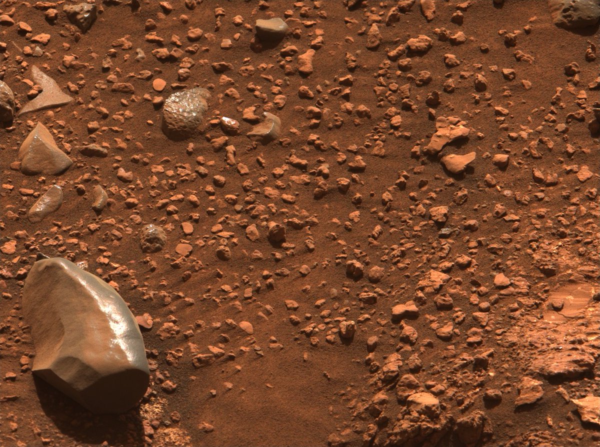
Breaking, from the Red Planet
The Mastcam-Z team at ASU has just released a new batch of 45 Martian sols of images, captured by Perseverance, and treated with their natural color processing. Check out these otherwordly wonders!
Reconstructing the Holocene glacial history of northern Troms and western Finnmark, Arctic Norway - Leigh - Boreas - Wiley Online Library https://t.co/lV5QFSIyGJ
A 3D map of Historic England records for long barrows on the Heritage Gateway website. Draped on geology. You can see how long barrows are mainly clustered on the chalk (light green). #Archaeology#Neolithic#DigitalArchaeology
▶️Glacial troughs account for 39% of the stocks and 48% of the accumulation of organic #carbon in Norwegian continental margin sediments.
@markus_diesing @paradiss1@NGUgeology @ETH_ERDW @iC3_COE
🔗Read more: https://t.co/1qNKEvbKOr
🤩 lots of acreage up for grabs to harness Danish 🇩🇰 wind. Site investigations for the North Sea licenses will have to sort out the complexity of tunnel valleys cross-cutting glacial tectonics I grappled with (on wide spaced 2D seismic) 25+ years ago. Bring on the UHR3D 👀
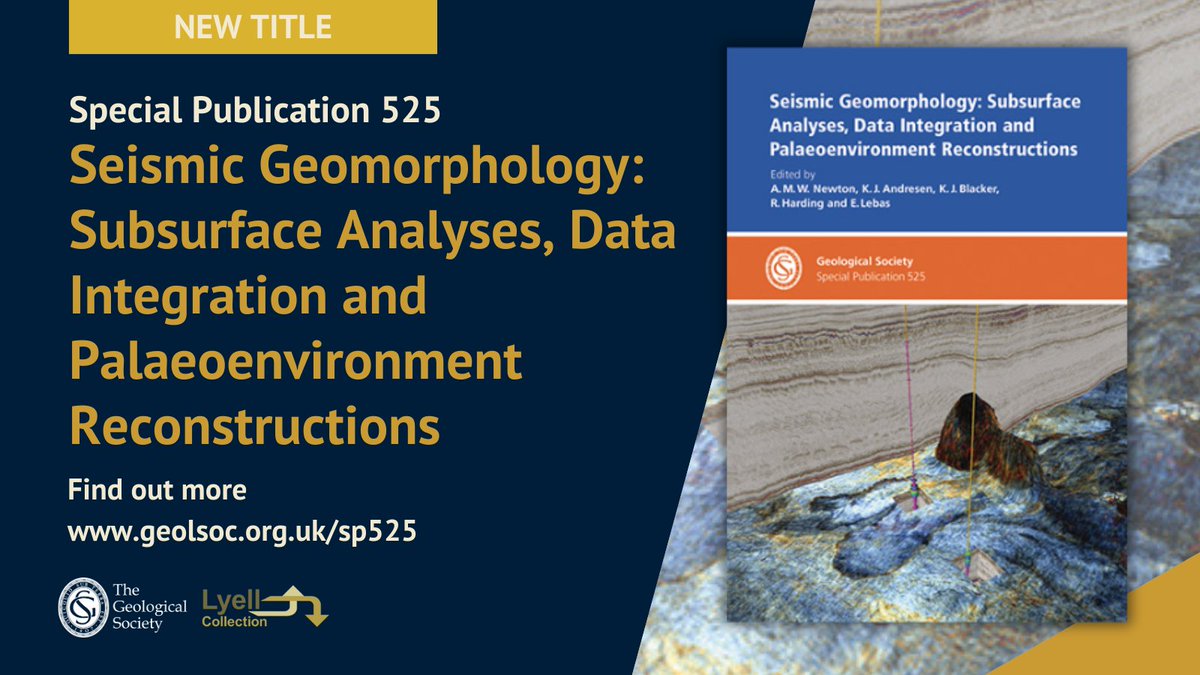
New Publication! SP525 Seismic Geomorphology: Subsurface Analyses, Data Integration and Palaeoenvironment Reconstructions
Find our more in the online bookshop https://t.co/IBtG5vKkBx
#Seismic#Geomorphology#Geology#Subsurface
Regjeringen har utlyst områder for havvindutbygging i Sørlige Nordsjø II og Utsira Nord. Forskningen tar fart for å kartlegge miljøtilstanden før prosjektene tar form https://t.co/HKBDVAmnNo
#geologi#kunnskap#forskning#formidling
You may have heard it said that we know more about the surface of Mars than Earth’s seafloor. The countdown to map the seafloor is on, and we have just six years left to meet the Seabed 2030 goal. https://t.co/Ky1T5SefaO