Good land management starts with reliable data. Hydrography provides clear information where runoff naturally flows and accumulates.
View detailed information on Texas rivers, streams, & waterbodies through the TxGIO DataHub: https://t.co/I8aKtnBEnZ
Planning your team's professional development for the upcoming year? Register for the Texas GIS Forum before September 15 and secure the best rates before pricing increases.
🎟️ https://t.co/dyIKXFSL5b
💧 Save the date! Join us January 25–27, 2027, in Austin for the Water for Texas conference.
📅 View the agenda, book your stay, and stay updated: sign up for Water for Texas emails today! https://t.co/RPSQkHwwIr
Texas Coast Bathymetry Update:
TxGIO has collected 40% of the priority areas identified in the 2022 Texas Integrated Flooding Framework workshop, for a total of 1,100 square miles!
TxGIO is currently integrating U.S. Army Corps of Engineers imagery collections dating back to 1957 into our archive. The focus areas of these collections (expected Fall 2026!) include the Gulf Coast, Coastal Waterways, and post-Hurricane Celia.
We had such a great time hosting students from the Texas 4-H Water Ambassadors Program at our office! It was so inspiring to talk all things geography with the future water leaders of our state.
Texas is changing faster than ever. Track our state's evolution from the past to present day with decades of TxGIO imagery, available for free on the TxGIO DataHub.
📍Guadalupe, Texas
📷Historical aerial imagery, 1938
https://t.co/I8aKtnBEnZ
Support the event empowering the Texas geospatial community! Invest in the people behind the maps, data, and decision-making that keep our state moving forward.
Learn more about sponsoring: https://t.co/Gx0elUQ00B
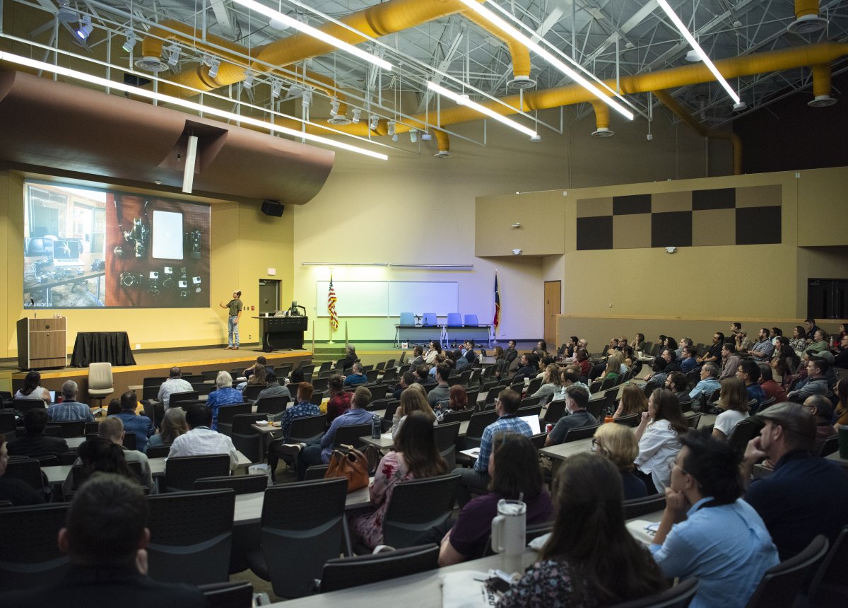
Our TxGIO team had such a great time connecting with the Texas GIS community at SCAUG and at the Texas Demographics Conference earlier this month! Let us know: what other events should we check out this year?
Master new software and sharpen your analytical skills at the 2026 Texas GIS Forum. The Texas GIS Forum hosts engaging, low-cost workshops led by industry experts. Seats are limited, so reserve your spot and invest in your geospatial education today: https://t.co/dyIKXFTiUJ
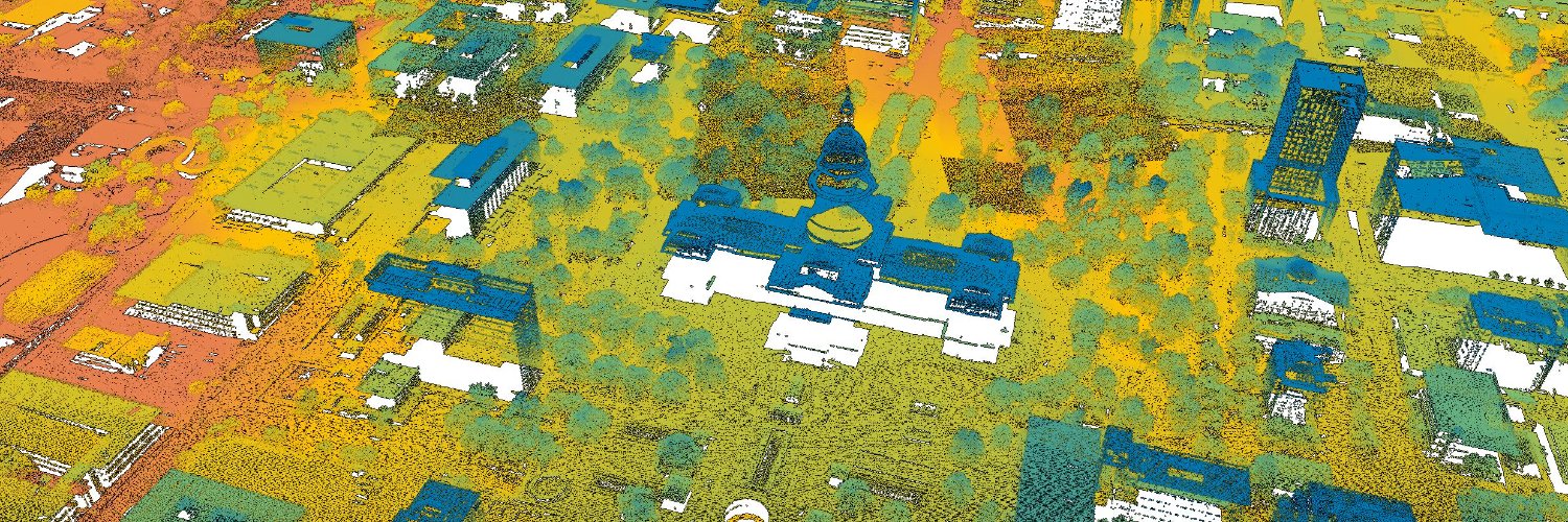
Our recent 48-county lidar acquisition is one of the most downloaded datasets on the TxGIO DataHub!
See it yourself on https://t.co/I8aKtnBEnZ, along with thousands of other collections.
Did you miss our most recent meeting? No problem - the 2nd Quarter Community Meeting is now online. Recap it to catch up on project milestones, technical news, and other important updates from the Texas GIS Community.
https://t.co/rb8cyZTZGC
TxGIO recently kicked-off our newest bathymetry projects: East Bay and Sabine Lake. Data acquisition will begin this summer, and is expected to release early 2027.
Every map tells a story, and we want yours to be a part of the conversation! We challenge both students and professionals to bring their data to life and submit their most innovative digital designs today: https://t.co/dyIKXFTiUJ
The @TWDB launched an interactive StoryMap on BRACS findings for the southern Trinity Aquifer featuring maps, insights, & downloadable data with @SanbornMap.
Explore: https://t.co/I4o2okjgYB
Join the virtual demo May 15, 9–9:30 a.m. Register: https://t.co/IjPj2f1NQ4
We just georeferenced 100,000 historical aerial frames. This massive effort preserves crucial Texas history and makes it easily searchable for researchers and historians. Explore the archive at https://t.co/I8aKtnCcdx.
We heard your feedback! TxGIO is now offering a "Most Recent" dataset for both Land Parcels and Address Points datasets. This means seamless background updates for your web maps without broken links. Find it in the descriptions for any LP and AP data releases from 2019 – 2025.
TxGIO has basic reference maps for all 254 counties in Texas at https://t.co/lzYabrh8YY. Easily locate boundaries, waterways, and major roads. They are a fantastic, free resource for educators, students, and enthusiasts alike!
Whether you’re a student, a planner, or just love maps, our TxGIO team is here to help you navigate our resources. Ask us your geospatial questions here: https://t.co/7xRR3x8d4W
Have a unique mapping project or a breakthrough technique? We want to hear about it! Peer Presentation and Map Gallery submissions close this Friday, May 1. Come out and share your expertise with the Texas GIS community.
📥 https://t.co/dyIKXFTiUJ