Meet RIEGL at GEO Business 2026 and explore the latest developments in #LiDAR technology and #geospatial data acquisition.
In the spotlight:
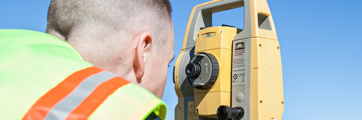
🔶 RIEGL VZ-600i Terrestrial Laser Scanner
🚁 RIEGL VUX-120²³ UAV LiDAR Sensor
📍 Booth G232
🔗More info: https://t.co/14SNl3rpyr
H1 from singularxyz is a compact handheld 3D laser scanner combining LiDAR, GNSS RTK and SLAM for precise field capture. Real-time point clouds, IP65 rugged design and lightweight build support surveying, inspection and industrial scanning.
https://t.co/1OlWNGi1O0
Join Vexcel Imaging’s Webinar to see UltraCam Merlin 5.0 data in action. Discover UltraMap workflows, latest features, and get your questions answered in the live Q&A.
Register now: https://t.co/vVoaZ9rBU7
Join Vexcel Imaging’s Webinar to see UltraCam Merlin 5.0 data in action. Discover UltraMap workflows, latest features, and get your questions answered in the live Q&A.
Register now: https://t.co/vVoaZ9rBU7
X1 Pro GNSS Receiver from singularxyz offers a one RTK solution for all needs. Part of the X1-Series, it features a larger HD color screen and combines advanced functionality with the proven reliability of SingularXYZ GNSS products.
https://t.co/Yv65i3U9jY
Orion ONE-AR from singularxyz uses AR-guided stakeout with 2MP starlight camera for clear low-light visibility. Real-time overlays improve accuracy and reduce stakeout time by over 50%, supporting construction, infrastructure and cadastral surveying.
https://t.co/R0hfi4Mxz9
CeruleanSonar Omniscan 3D: underwater imaging system bridging side-scan sonar and multibeam echo sounders. 450 kHz, 16-channel receive array for real-time 3D point clouds. For inspection, mapping & navigation in zero visibility, SonarView integration.
https://t.co/WyDQv0PBQD
Horus Visual & Laser GNSS Receiver from singularxyz combines dual-camera AR stakeout and visual laser surveying for cm accuracy.
Captures multiple points per photo, full-constellation GNSS tilt compensation, 12h battery
https://t.co/xIrB32Llfp
Meet RIEGL at #EGU26 in Vienna (May 3–8)!
📍 Booth 66 | Explore advanced #LiDAR solutions
🎤 Presentation by Anna Iglseder on "Static and kinematic point clouds using a single terrestrial laser scanning system for forest structure characterization"
🗓 May 8 | 14:35 | Room N1
🚀 GEXCEL Webinar April 22, 4–5 PM (UTC+2). Combining UAV photogrammetry with HERON 3D improves efficiency and accuracy in documenting complex archaeological sites. Full workflow, even without GNSS. 👉 Register: https://t.co/3Elb1pgiGw
GNSS blocked? Not a problem.
Jupiter Laser RTK measures what others can’t 🚀
50m green laser + visual stake-out = accurate points even in tough environments. Built for real-world surveying.
🔗 Learn more: https://t.co/gjq3GRR0kS
#SinoGNSS#ComNavTech#Surveying#GNSS#Laserrtk
The SeaBat D100 by Teledyne Marine is engineered for versatile and robust hydrographic surveys across a wide depth range of 10 to 3000 meters. This compact mid‑water multibeam system delivers reliable, accurate, and consistent survey performance. Discover: https://t.co/u6pOAEEQJb
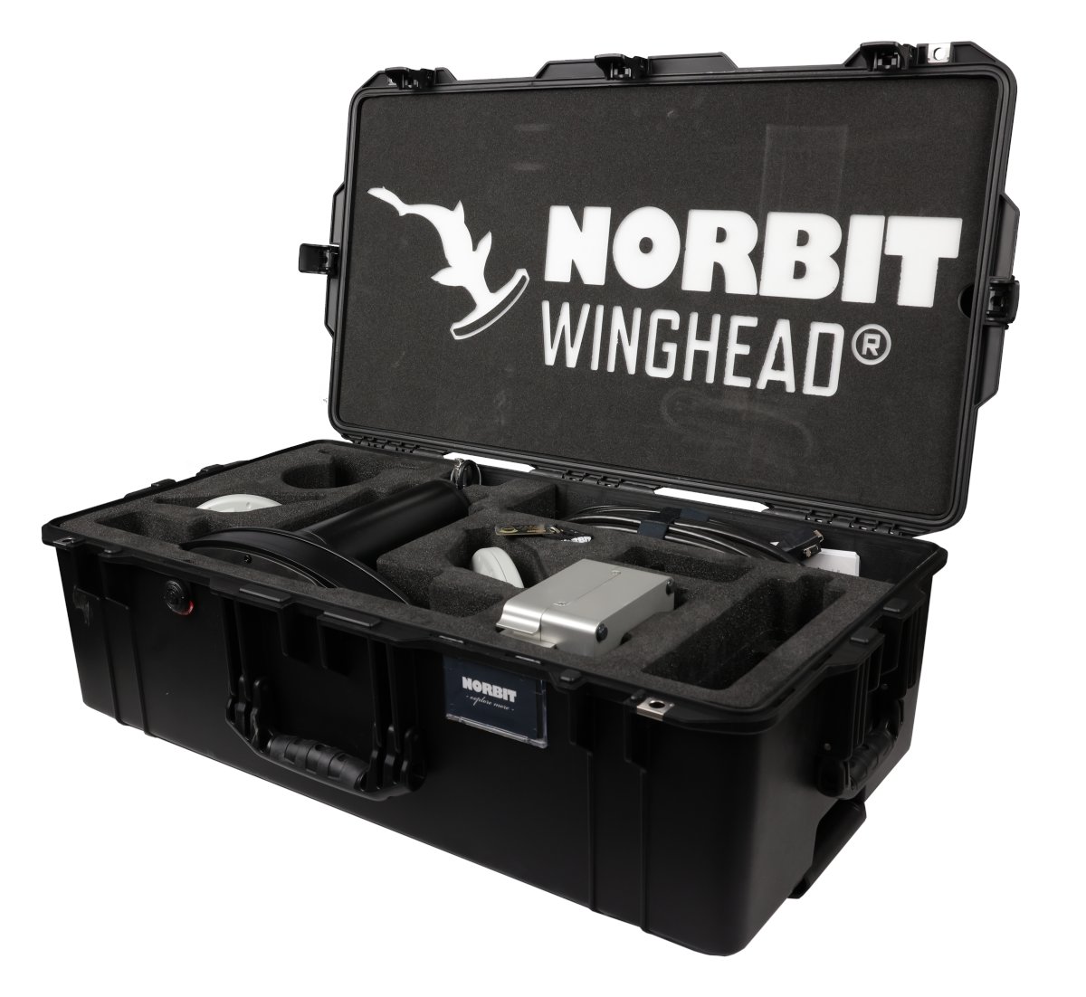
Designed for flexibility and ultra high resolution performance, WINGHEAD X by Norbit Subsea is built to support a wide range of survey applications across diverse operational environments. Discover more: https://t.co/dY8DOKzija
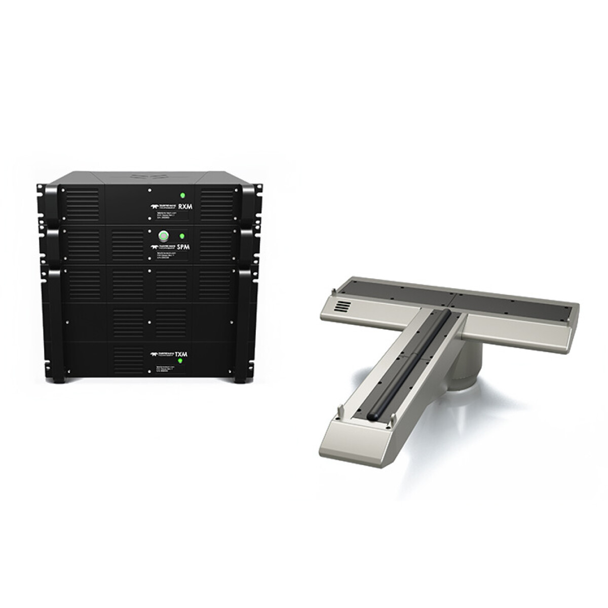
The SeaBat T-series Subsea Integrated Dual Head delivers adaptive, high-quality dual-head sonar data with SSP+ processing, flexible configurations, and auto-detection, supporting efficient AUV and ROV surveys with minimal processing time.
Learn more:
https://t.co/uhM0lwdLom
The NORBIT WINGHEAD X is a configurable multibeam sonar platform designed for high resolution hydrographic surveys.
With a 0.5° beamwidth and modular architecture, it delivers detailed bathymetry and backscatter data.
Learn more:
https://t.co/dY8DOKzija
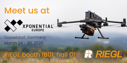
@RIEGL will exhibit at AUVSI XPONENTIAL Europe 2026 in Düsseldorf, showcasing the latest UAV-based LiDAR solutions for geospatial applications.
📍 Booth B01, Hall 1
More: https://t.co/ZzdkY5RzeR
#LiDAR#UAVLiDAR#Geospatial
@TeledyneMarine at Oi26 – Booth F100!
Discover the SeaBat Integrated Dual Head (IDH) T20/50‑R & T51‑R, our ultrahigh-resolution multibeam echosounder survey system.
Stop by Booth F100 and learn how the SeaBat IDH can take your surveys to the next level!
https://t.co/XB4AvP0WPJ
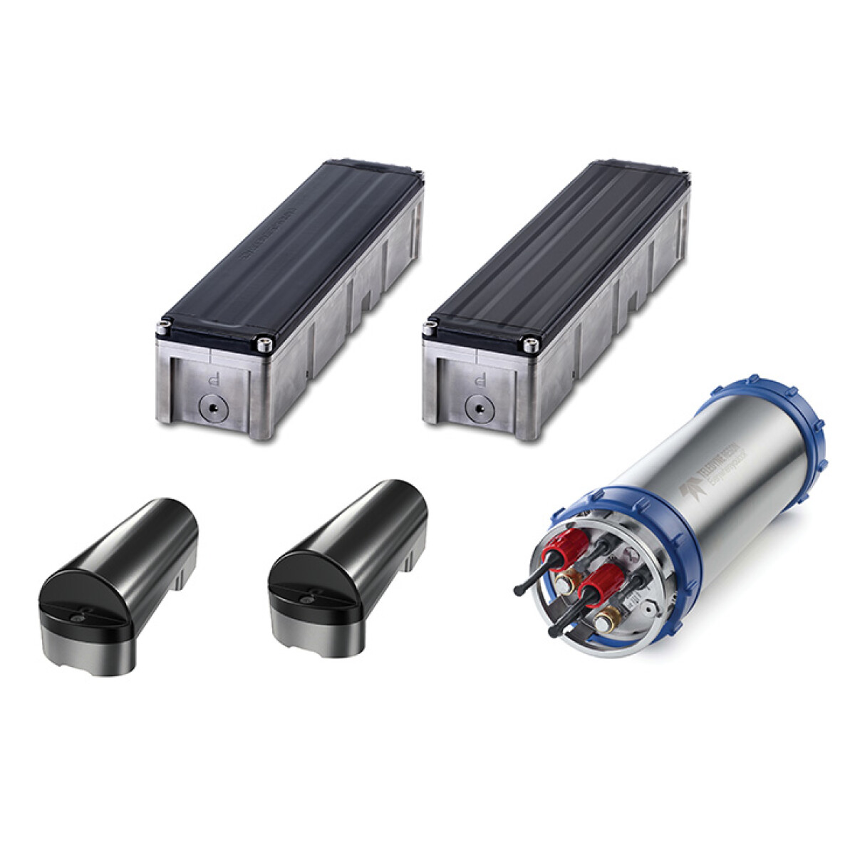
The VA500P Altimeter from teledyne valeport with an integral 0.01 percent full scale pressure sensor introduces a powerful new approach to underwater positioning for ROV, AUV and hydrographic applications. Discover more: https://t.co/c97q67wMJv