Come visit our booth @GITAssociation Pipeline Technology FORUM in #Houston TX. Let's talk about the data that you need to make your project a success! We specialize in airborne imagery and data acquisition, warehousing & licensing. #lidar#aerialphotography#gis#mapping🗺️📸🛩️
One of the best things I heard at @URISA#GISPro2019: "I love how the members support and empower each other and how the women in URISA I've met build each other up." URISA offers such a wonderful environment to learn, grow, and succeed!!
#GIS#Geomatics#GetInvolved@URISAVC
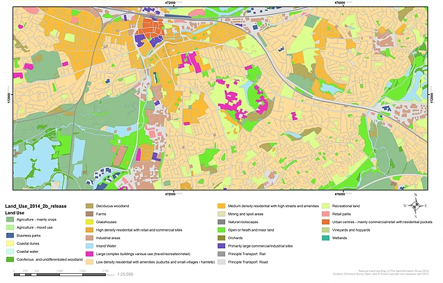
#Reminder - we'll be running a #webinar 12th November - "Understanding Urban Environments". A detailed understanding of both built & natural environments are critical to #city#planning and improving the health and well being of citizens. Register here https://t.co/TKYTMb50ex
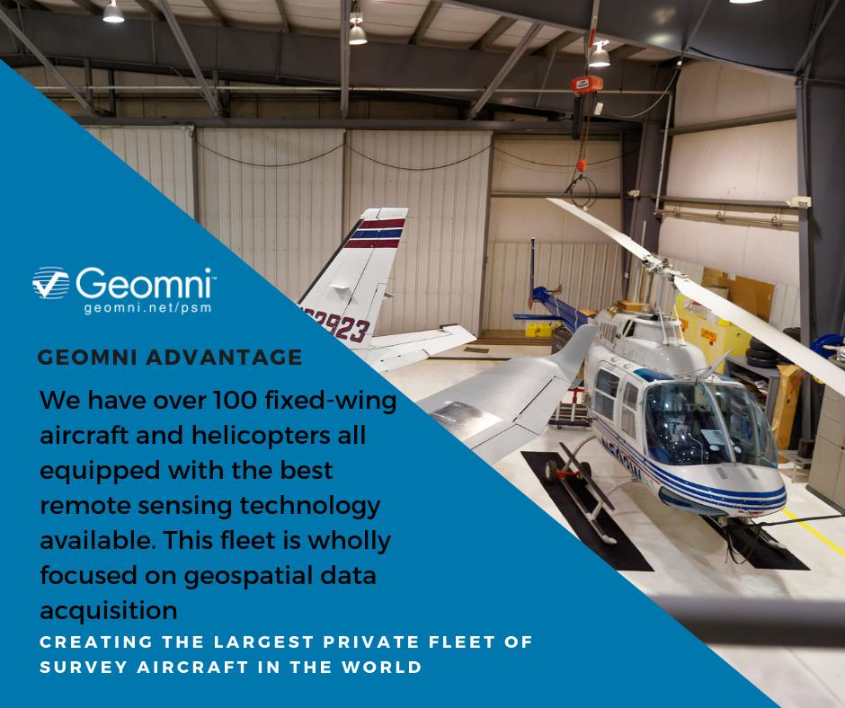
🛩️Experience the Geomni Advantage.
We have over 100 fixed-wing aircraft and helicopters all equipped with the best remote sensing technology available.
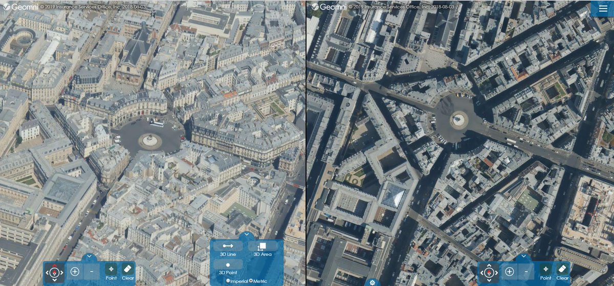
😎Claim your free sample data set here:
https://t.co/6T0AHBdBDm
#geospatial#geospatialdata#gis#lidar#aerialdata#mapping
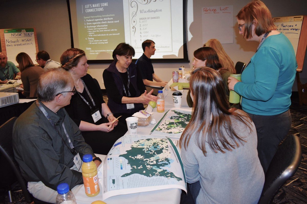
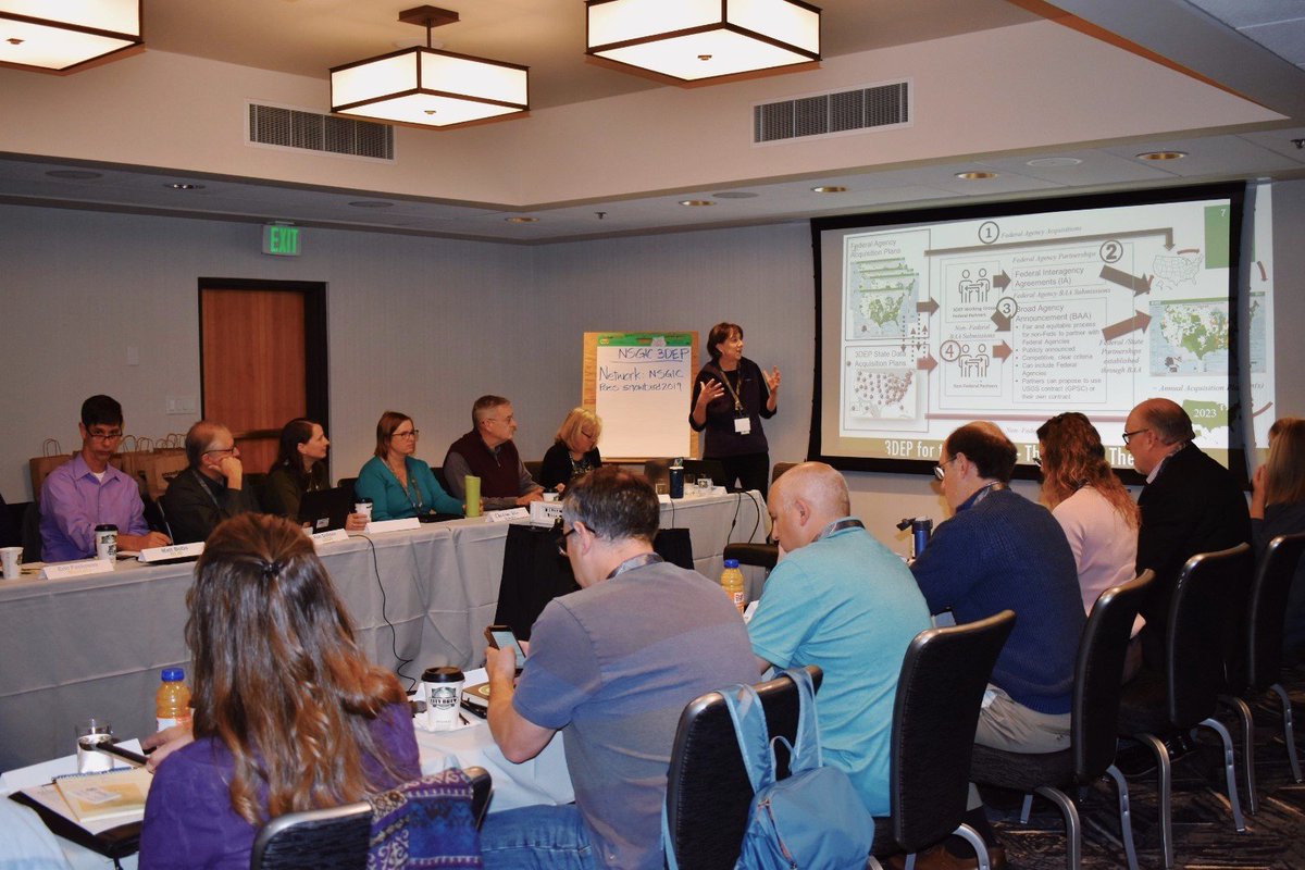
Kicking off Monday morning at #NSGIC19 with the 3DEP For the Nation workshop! Federal partners and states had the opportunity to get some face time and discuss strategies for ways to streamline communication for #Lidar data. #GIS#USGS
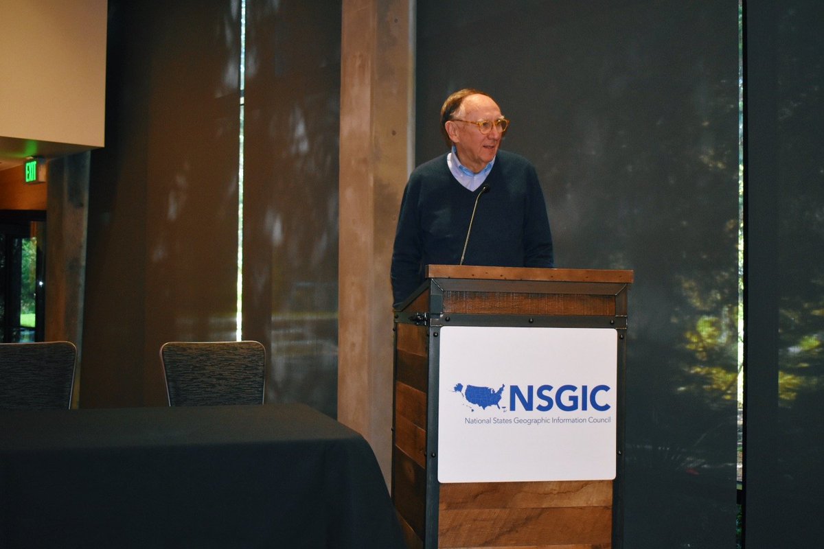
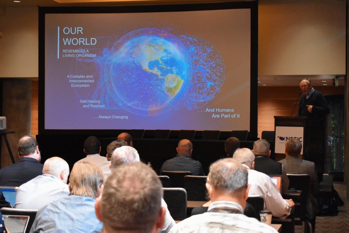
A full house for @Esri Founder and President Jack Dangermond's keynote address at #NSGIC19. “Geography is the science of our world. The geospatial infrastructure is part of our world’s intelligent and response platform.” #GIS
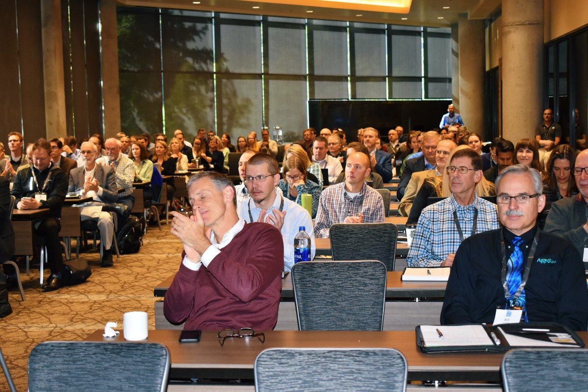
Incredible to hear from over 40 states about their successes, challenges, and goals at the #RollCallofStates. There's a ton of #data and #GIS progress being made. #NSGIC19