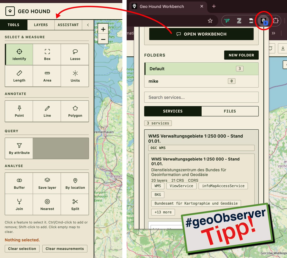
GeoHound Chrome extension automatically detects and saves GIS services (WMS, WMTS, ESRI) as you browse, eliminating manual copying and network request searches.
Just released GeoHound 2.0 !
This MapScaping podcast episode features @utahgeological team. They share how they moved from a traditional ArcGIS Server setup toward a cloud-native approach leading to them turning off two servers & saving around $25K/yr
https://t.co/WFT5rjXpDW
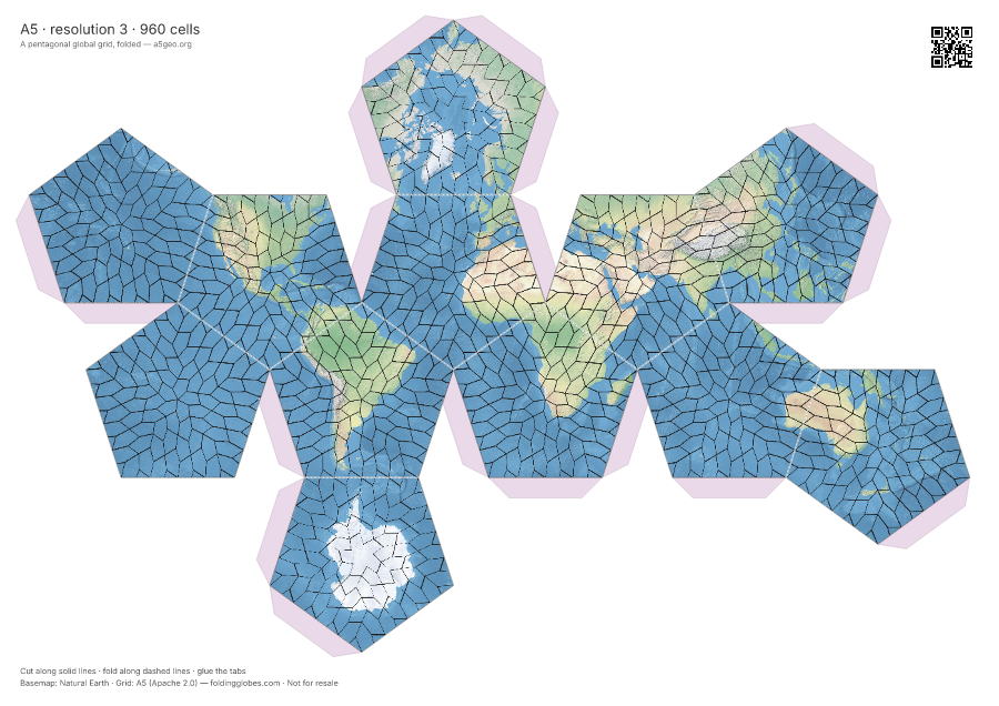
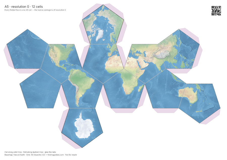
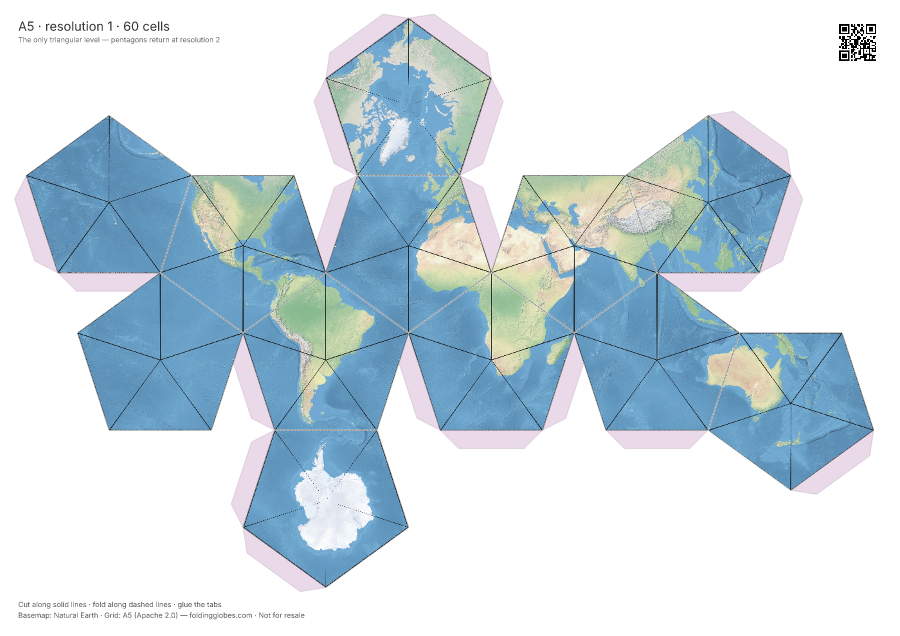
While I was at it, I used my latest project, https://t.co/ZEpl6MEJTF, to generate a set of paper globes showing how A5 actually works: pentagons at the top level, breaking down into triangles, then pentagons again as the resolution gets finer.
One of my consultant clients wanted to know more about the A5 grid system, so I had to re-listen to my own podcast episode with Felix Palmer yesterday to refresh my memory.
Obvious follow up: broadcasting that close to GPS frequencies, aren't you the jamming problem? Xona's answer starts with protecting the GPS spectrum first, not adding to it. Full conversation: https://t.co/emBIafBmPe
How do you make a GPS signal 100x stronger? Two things: move 20x closer to Earth, then just turn up the power. I talked to Tyler Reid, co-founder of Xona, about why that means building a 3kW satellite.
And it buys a position fix from a single satellite pass. Reading the Doppler shift off one fast moving LEO satellite gets you a position in tens of seconds. Normal GPS needs 4+ satellites for that.