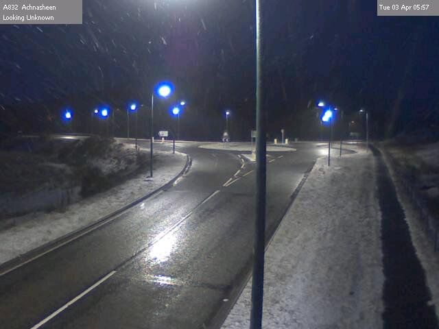
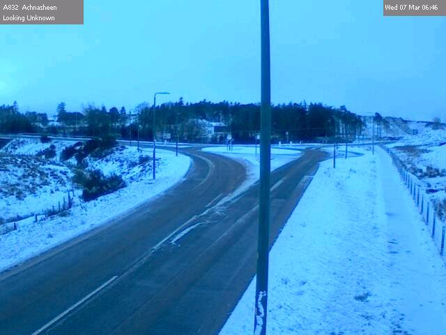
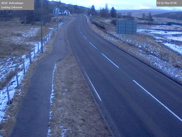
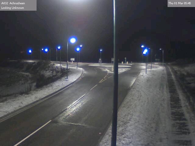
Yellow warning of snow now in place until 15.00 on Wednesday. Snowy, sleety showers with mild accumulations in places and could be slippery, especially overnight when temps will drop to around zero.
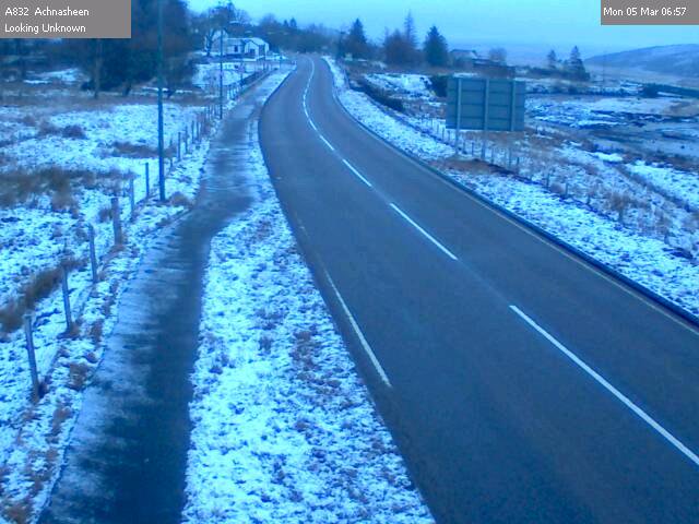
Cold with dusting of snow this morning, so could be slippy in places. Yellow warning for snow further east and south today and across the area all day tomorrow. Slight accumulations likely overnight tonight and temps will drop below zero, so widespread ice risk tonight.
Very cold start this morning with air and roads well below zero in most places with risk of ice. Showery from mid-day possible falling as snow on higher routes. Temps drop again tonight, giving risk of ice where roads are wet.
After a couple of warmer, drier days, we are back to wet roads and it will drop below zero in many places overnight. Obviously this gives a risk of icy patches on the roads, so take care if you are out overnight tonight.
Cold start again, but warming later to give a dry but cloudy day. Cold again early evening with rain moving in later, which may be snow at higher levels. Return to warmer wetter weather on Wednesday.
Very cold start everywhere, leading on to a dry cold, sunny day and cold night. As ever there is a risk of ice where roads are wet for any reason or shaded from the sun.
More of the same today. Another cold start, with possibly some icy patches where roads are damp. The odd snow flurry through the day but largely dry. Then very cold and frosty overnight.
Cold start this morning in some places and cold again tonight. Roads are mainly dry, but ice risk remains where road surfaces are damp. Some snow flurries are likely with chance of it lying and drifting on the usual high or exposed routes.
Frosty start in some places, but mainly dry morning turning wet around lunchtime. An afternoon to stay in and watch the rugby! At higher levels sleet/snow expected and temps will dip to freezing overnight.
Cold start and end to the day, with ice risk early morning and overnight. Largely dry day, though, with occasional showers which could fall as sleet/snow in places.
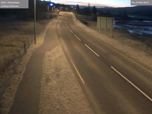
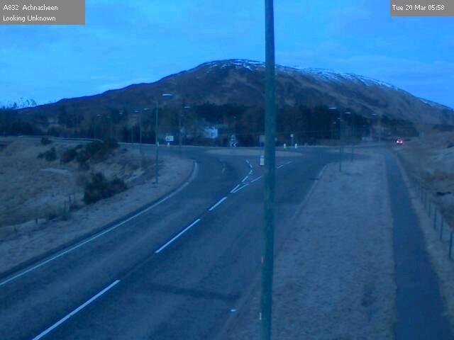
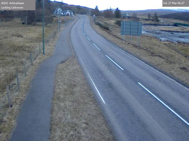
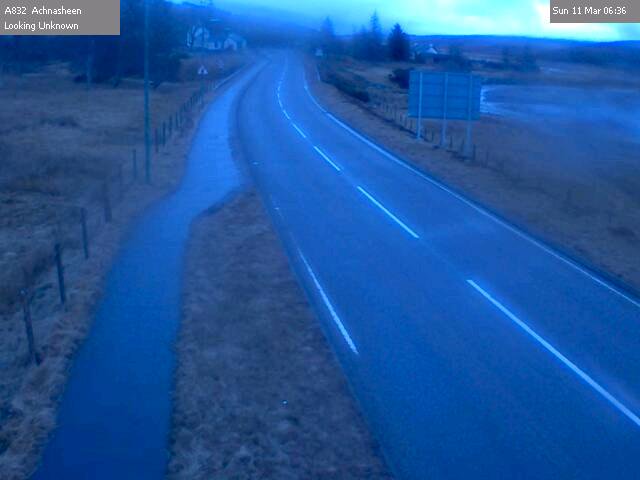
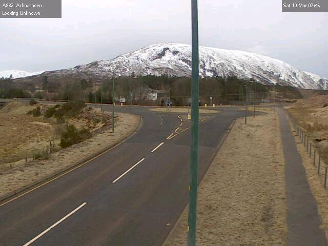
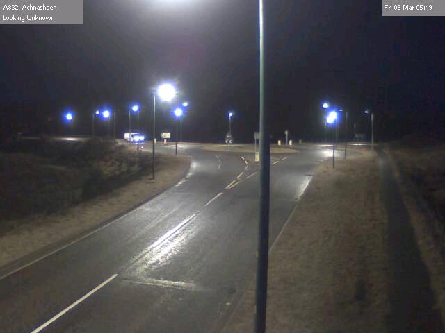
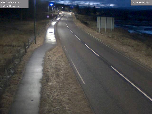
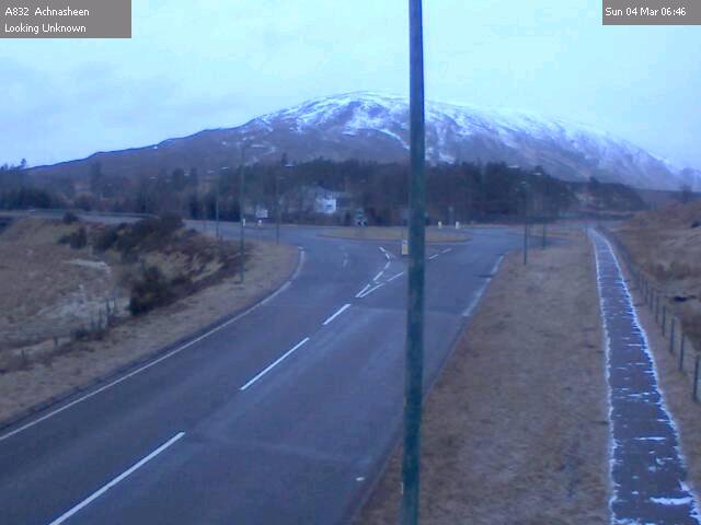
Road temps lagging behind air temps this morning, so risk of ice in places. Continuing occasional wintry showers and could be icy overnight. Nice to see light in the eastern sky on the Achnasheen camera at 06.00 this morning.
A sleety, snowy day in prospect, with Met Office yellow warning in place through to 21.00 tonight. Snow accumulations possible in most places and particularly on higher routes.
Air temps just above zero, but road temps lagging behind this morning. More snow showers expected through the day and overnight, with ice risk again from late afternoon.
Slightly warmer this morning but still around zero with ice risk on most roads. Snow showers due later across the area, with rain at lower levels. A835 Drumrunie to Ledmore still shut.
Remaining cold with more snow showers forecast across the area. Again, these are expected to be more frequent across that area from Ullapool north. Ullapool to Ledmore and Drumrunie to Achiltibuie still shut but hope to be cleared today.
Very similar to yesterday, continuing very cold with ongoing snow problems in the northern part of Wester Ross, from Ullapool north to Ledmore and Coigach. Snow accumulations also expected on higher routes everywhere.
As predicted, a very cold night and remaining very cold all day today and overnight, with continuing snow showers. Worst of snow to the north. Drumrunie to Achiltibuie Road currently impassable. @HChighlandroads