Scattered shower activity continues this afternoon with the passage of a cold front. Rain is expected to dissipate through the evening hours, with clear skies overnight. Expect lots of sunshine and cool temps Tuesday!
Rain moved through much of Maine last night, with the heaviest rainfall focused across southern Maine!
*These are RADAR-ESTIMATED rainfall totals, NOT official observations! Keep that in mind when looking at the map.*
5 AM: Showers are very quick to move out this morning. Clouds will follow, leaving Maine with lots of sunshine Thursday. However, windy conditions are expected along with highs in the 80s.
An early batch of showers is moving through early this morning. Our midday hours will be dry, with a chance for some scattered showers this afternoon. The main rain event will take place after dinner time and last through the overnight hours. Rain totals are on the lower end.
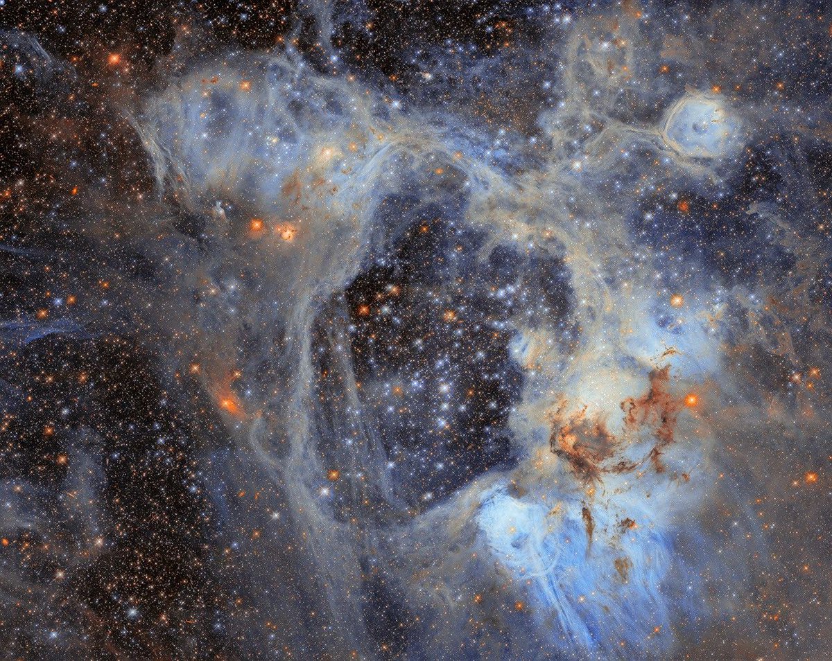
This 'superbubble' in the Large Magellanic Cloud is over 200 light-years across—and it's helping astronomers study how stars are born. More from @NASAHubble: https://t.co/NvJuk0az2R
Evening plans Tuesday? You're in luck! Lots of sunshine through the rest of our daylight hours, with clouds increasing after dark.
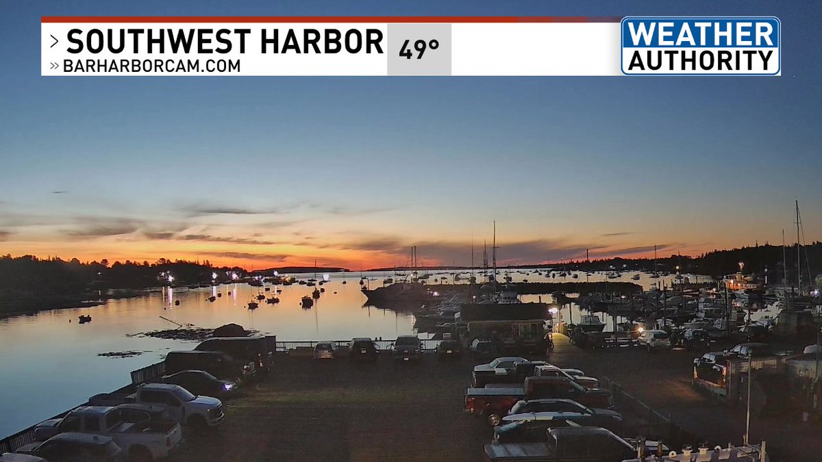
Our sunset is at 7:04, with our final 7 PM sunset of the year just 2 days away (Friday, Sept. 10).
5:30 AM THURSDAY: Steadiest rain moving through right on schedule. Back edge of the rainfall is around the ME and NH boarder, leaving us cloudy for the day. Best chance for sun will be around dinner time!
Today is September 1st, also known as the start of meteorological fall!
Our normal high temperatures this month will be decreasing from the 70s to the 60s from start to finish. Typically around mid-September is when our temperatures consistently start dropping into the 60s.
Showers are generating from northern Aroostook county to Oxford County, with a thunderstorm over New Hampshire's White Mountains. Scattered shower activity cannot be ruled out in those areas through the evening.