Welcome to I-95 weather! 🌨️
Here we’ll track storms, winter threats, and all things weather, keeping you up to date on the forecast for the I-95 corridor.
Follow if you want to stay up to date!
#BREAKING: With the decreasing severe weather risk, the Tornado Watch has been CANCELED for our region!
The increased rain/cloud cover this morning and lack of instability in the atmosphere have allowed our region to dodge a huge bullet.
With that said, I do get the frustration that comes with a missed forecast. People re routed plans and events today due to this forecast. While I worked to highlight this potential the last few days, it doesn't mean that the forecast didn't fall short! Early spring severe weather setups are so fickle. If we were baking a cake today, we had every ingredient on the table... except the flour!
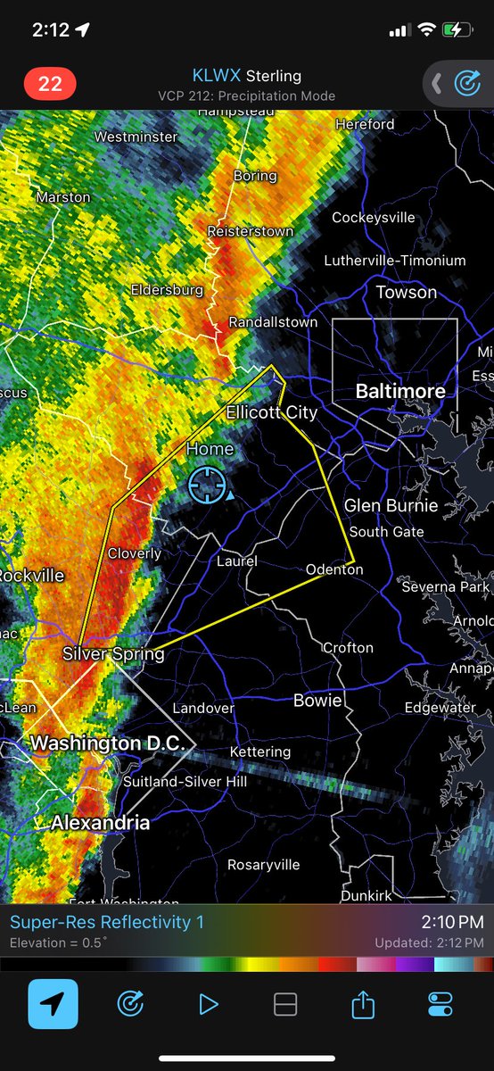
Scattered storms are still likely through the afternoon and evening as the cold front works through. Thankfully, the high-end threat of 60-80mph winds and tornadoes is very low.
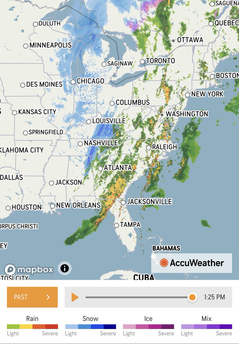
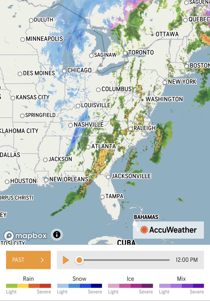
Today’s Front Means Business!
There is a robust swath of snow on the backside of the front which has produced accumulations as far south as Alabama!
#wxtwitter#wxX
Today’s Front Means Business!
There is a robust swath of snow on the backside of the front which has produced accumulations as far south as Alabama!
#wxtwitter#wxX
#BREAKING: Our Tornado WATCH has been expanded to include all of southern PA, NJ, and the Delmarva Peninsula. All areas shaded in red are under this watch until 7PM!
We will have a few rounds of storms that we will need to watch this afternoon that could produce damaging winds up to 80mph and a few tornadoes!
Dangerous storm potential Tomorrow!🌪️ ⛈️
A system that can produce dangerous weather, including tornadoes, will pass through Maryland, likely arriving a little after noon and finishing in the evening.(Will pass through earlier for areas farther west)
Please use Caution!
There is also a chance for snow at the end of the event(IK crazy), similar to what occurred this past week.
It won’t be too impactful though, and should be over by morning.
INCREDIBLE CHANGE
Can't remember seeing a 24 hour temperature change of 50 degrees or more in the Mid Atlantic! Incredible drop from 80s to 30s with snow in the air for many areas that set record highs yesterday. Welcome to March!
However, the snow has already started to die down for Central Maryland and should melt quickly.
Wouldn’t expect any school delays tomorrow, but you never know
Hope you enjoyed the snow!
#MdWx#Maryland
Snow has been a bit more impactful than expected! ❄️
A little more than an inch here in Ellicott City!
How much do you have?
Since this snow is warmer than typical it clings to trees and power lines, increasing the chances for power outages, but also making for good photos!
This is bonkers.
Today (Wednesday), we hit record highs of 85-86 degrees across the DC area and we had evening thunderstorms and tornado warnings.
Tomorrow (Thursday), temps may drop into the 30s with the chance of wet snow mixing with a cold rain.
The 24-hour temperature change? 45 to 50 degrees.
Crazy but a great example of how you can get 3 seasons in one day!
Earlier tornado warning have been dropped for Carroll, Howard, and Montgomery counties in Maryland. New tornado warning up for central Baltimore County, northern Baltimore City in Maryland until 7:45pm. Considerable severe thunderstorm warning out for Anne Arundel county in MD.