In an effort to streamline our social media accounts we will no longer be updating this channel. Our YouTube and LinkedIn accounts will remain active and we encourage you to join us there. Thank you for being a part of our InfraWorks online community. https://t.co/B5rl1fPVt9
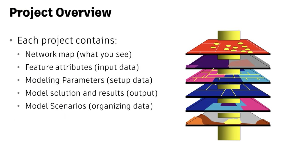
In this free, 4-part, on-demand course you'll learn the @Innovyze InfoWater Pro project structure, how to open a new project file, and establish a link between the ArcGIS Pro document file and the InfoWater Pro database tables. https://t.co/WUyduWbgkI
Learn how Twinmotion for Revit can be used to create rich, detailed, visually impactful experiences and ensure stakeholder engagement across the infrastructure project lifecycle. https://t.co/Wtvn918jyJ
Thrilled to be back at the @Esri User Conference. As a gold sponsor, Autodesk will continue to showcase the combined power of BIM & GIS to design and make tomorrow's infrastructure. #EsriUC2024 https://t.co/p3tbNJhNrO
On July 10 at noon ET, explore the power of digital twins + BIM with Eptura's Nick Stefanidakis & Autodesk's Robert Bray! Learn how to streamline building your operations and reduce waste and downtime through a single worktech platform. Register here: https://t.co/JE7OohzYn6
Let's take a closer look at the Linear Feature Extraction feature in InfraWorks, allowing you to create linear elements from an InfraWorks surface and extract them. https://t.co/DIExahFvDe
Our latest installment in the series of how to design roadways in Civil 3D explores how to create and edit roadway alignments, including offset alignments. https://t.co/pEOimbDwAZ
In this conversation, expert Matt Wunch walks you through the steps of using a drone to get accurate geolocations for your models, making use of several Autodesk software, including ReCap Photo, ReCap Pro, Infraworks, Revit and Civil 3D. https://t.co/1raQF4cE43
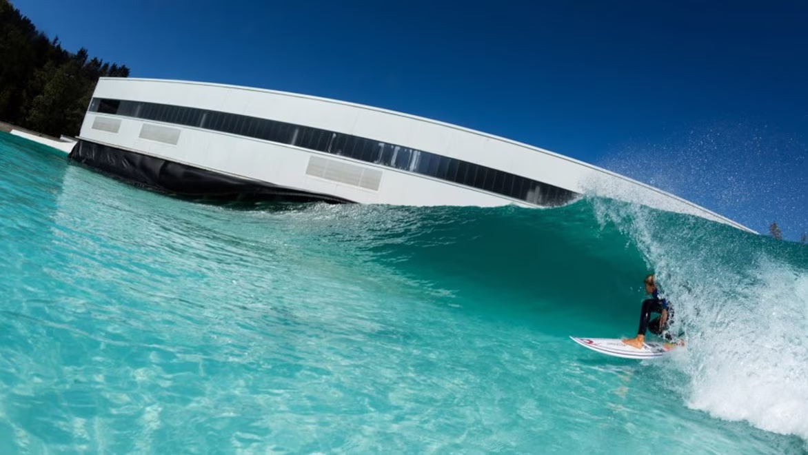
Thanks to the latest technology and software from Autodesk, Wavegarden can offer a realistic experience of surfing outside the sea. Learn more: https://t.co/z1Sr2H4ZOj
Learn about the latest features and capabilities in InfraWorks 2025 along with updates to Autodesk Structural Bridge Design 2025. https://t.co/U9dOt9OWFM
This video series demonstrates an integrated bridge design workflow using the Autodesk AEC Collection and Autodesk Construction Cloud, improving collaboration and data exchange for all stakeholders. https://t.co/xrMkosIsd7
Learn about the latest features and capabilities in InfraWorks 2025 along with updates to Autodesk Structural Bridge Design 2025. https://t.co/U9dOt9OWFM
Learn about Glasgow's transformation into a “sponge city”, utilizing long-neglected canals in an ecologically friendly way to absorb, hold, and move water. https://t.co/KZHNEqlnHF
Learn about the latest features and capabilities in InfraWorks 2025 along with updates to Autodesk Structural Bridge Design 2025. https://t.co/U9dOt9OWFM
Our Infrastructure Industry & Business Strategy Director, Eric DesRoche’s, keynote presentation will explore AI and digital project delivery. Meet the team in the Autodesk lounge: https://t.co/Bvqz7lAYHF #ACEC2024ANNUAL
Learn how German construction and infrastructure company Max Bögl developed this sustainable and cost-effective mobility solution for public transport and automated container transport: the Transport System Bögl (TSB). https://t.co/Yc8mEq4fjK
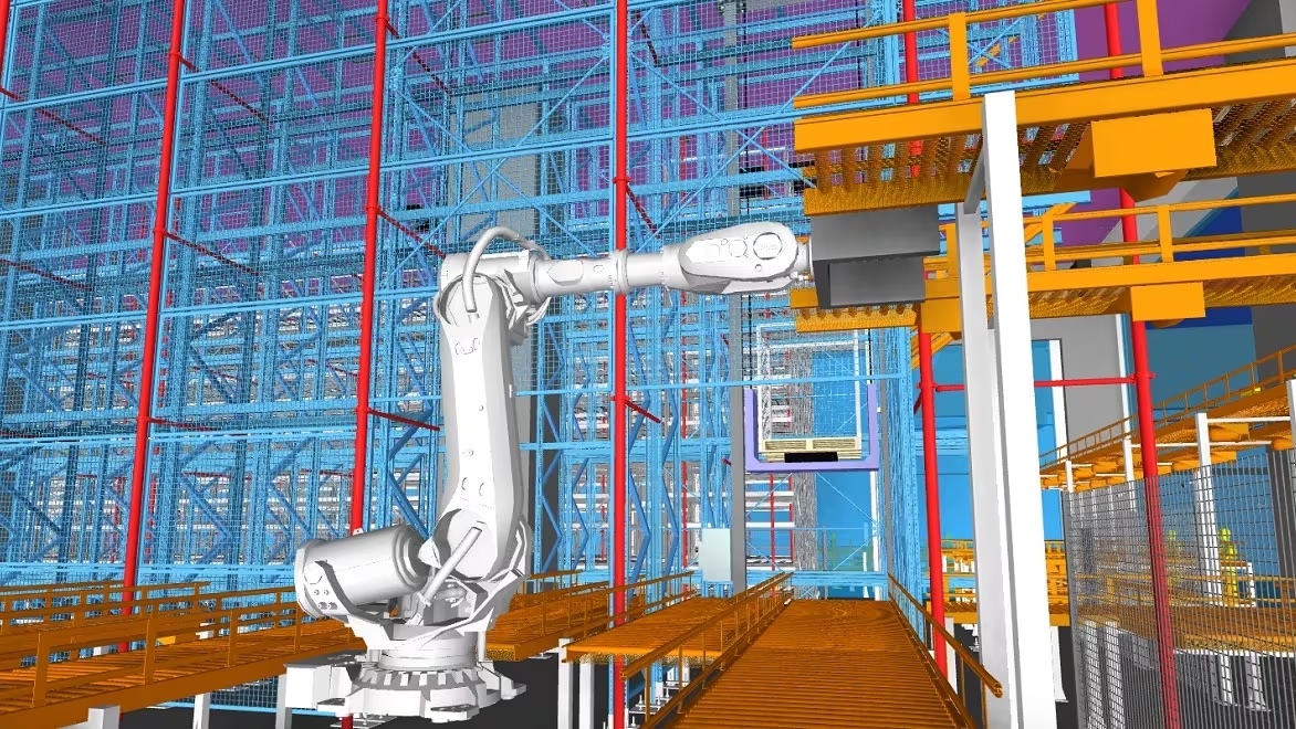
Following the government’s Construction 2.0 initiative, Gammon Construction built Hong Kong’s Advanced Manufacturing Centre using BIM, a digital twin, and DfMA (design for manufacture and assembly) to make construction safer and faster. Learn how: https://t.co/EXFkn09FpP
Discover how FS Technology is leveraging the value of the BIM & @ESRI GIS in the project lifecycle of the Italian railways. https://t.co/8UEenZQYDW